Dieser Artikel ist auch auf Deutsch verfügbar. Click here to find out more about Germany!
There’s no shortage of beautiful hiking trails in the Black Forest. On some of them you can also walk in the footsteps of history, and that is exactly what this post will be about. Twelve kilometers and almost 750 meters in altitude differences will bring us closer to the history of the electrification of Baden-Wuerttemberg using hydropower 🙂
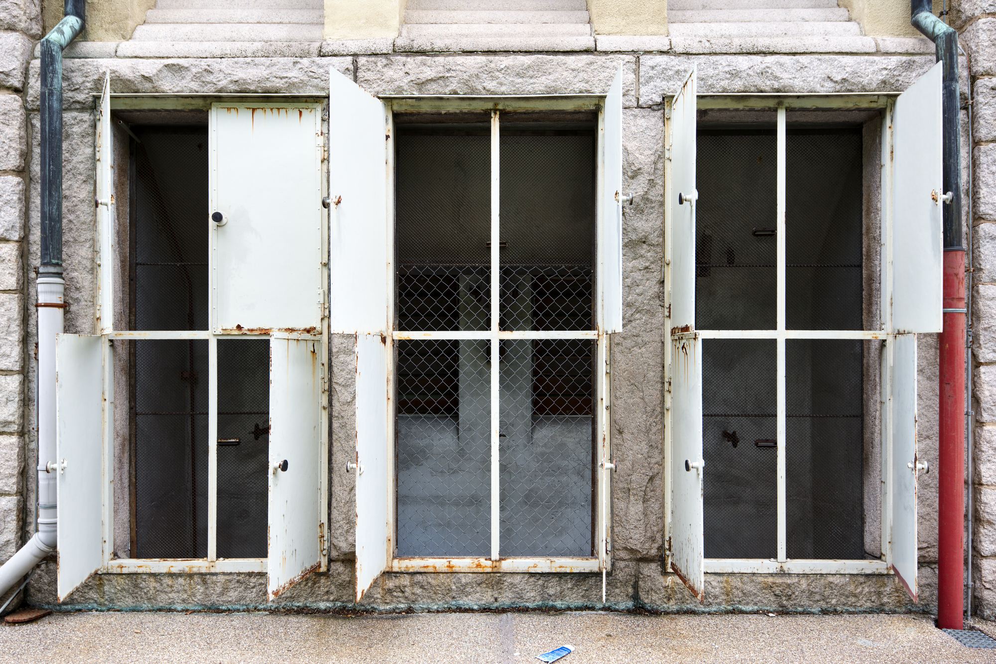
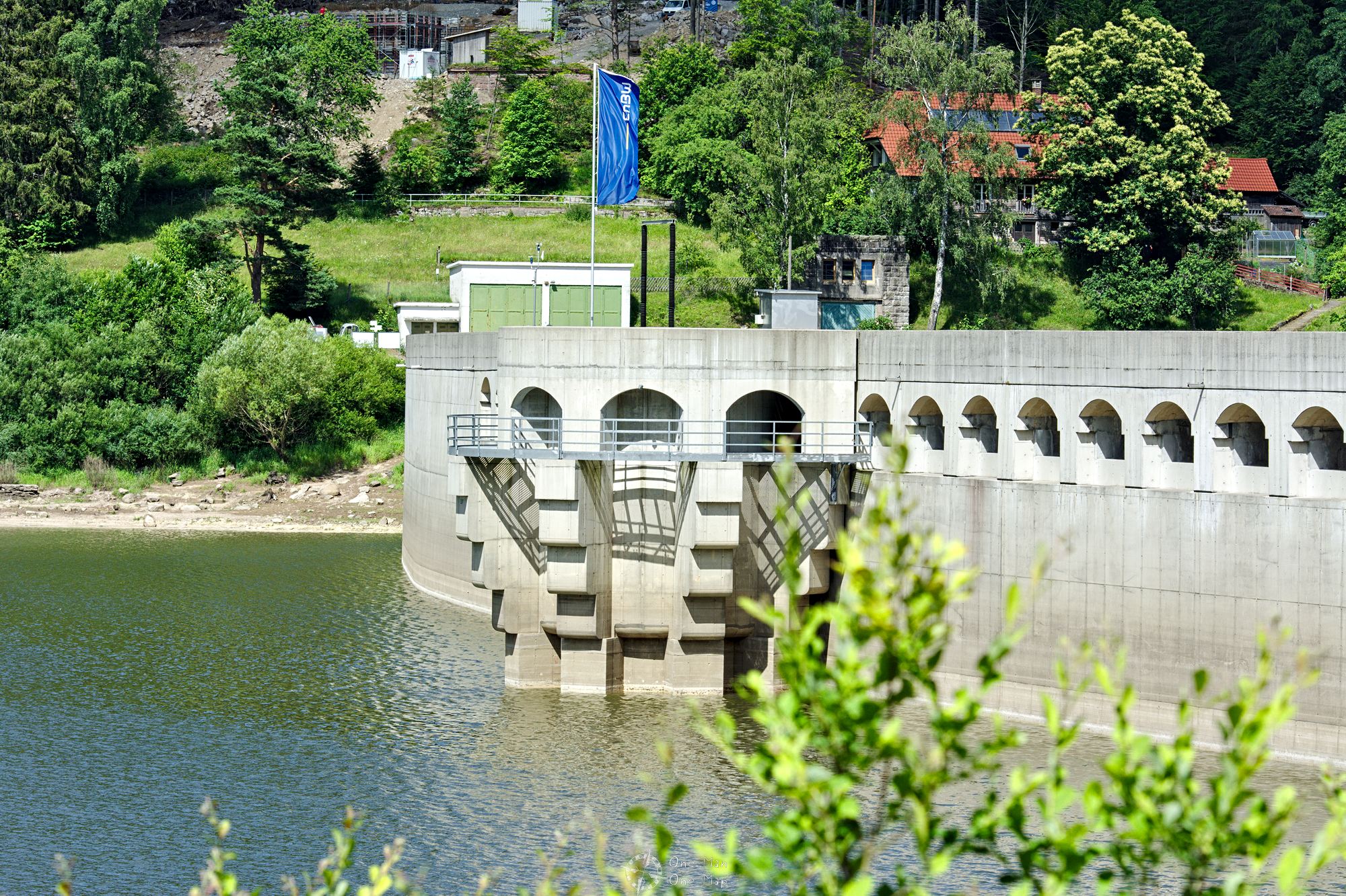
As the local communities called ever louder for connections to the electricity grid, the state of Baden started the development of hydropower in the early 20th century. Between 1914 and 1926, several dams and power stations were built in the Murg Valley and the adjacent valleys, even when the First World War was in full swing. Today only the 65 meter high Schwarzenbach dam in a side valley and the Rudolf Fettweis Hydro Plant near Forbach strike the eye. Both seem like normal elements of a hydroelectric power plant, but appearances are deceptive: this is a pump storage station. After its completion in 1926, the power plant was one of the first pumped storage hydro power stations in existence.
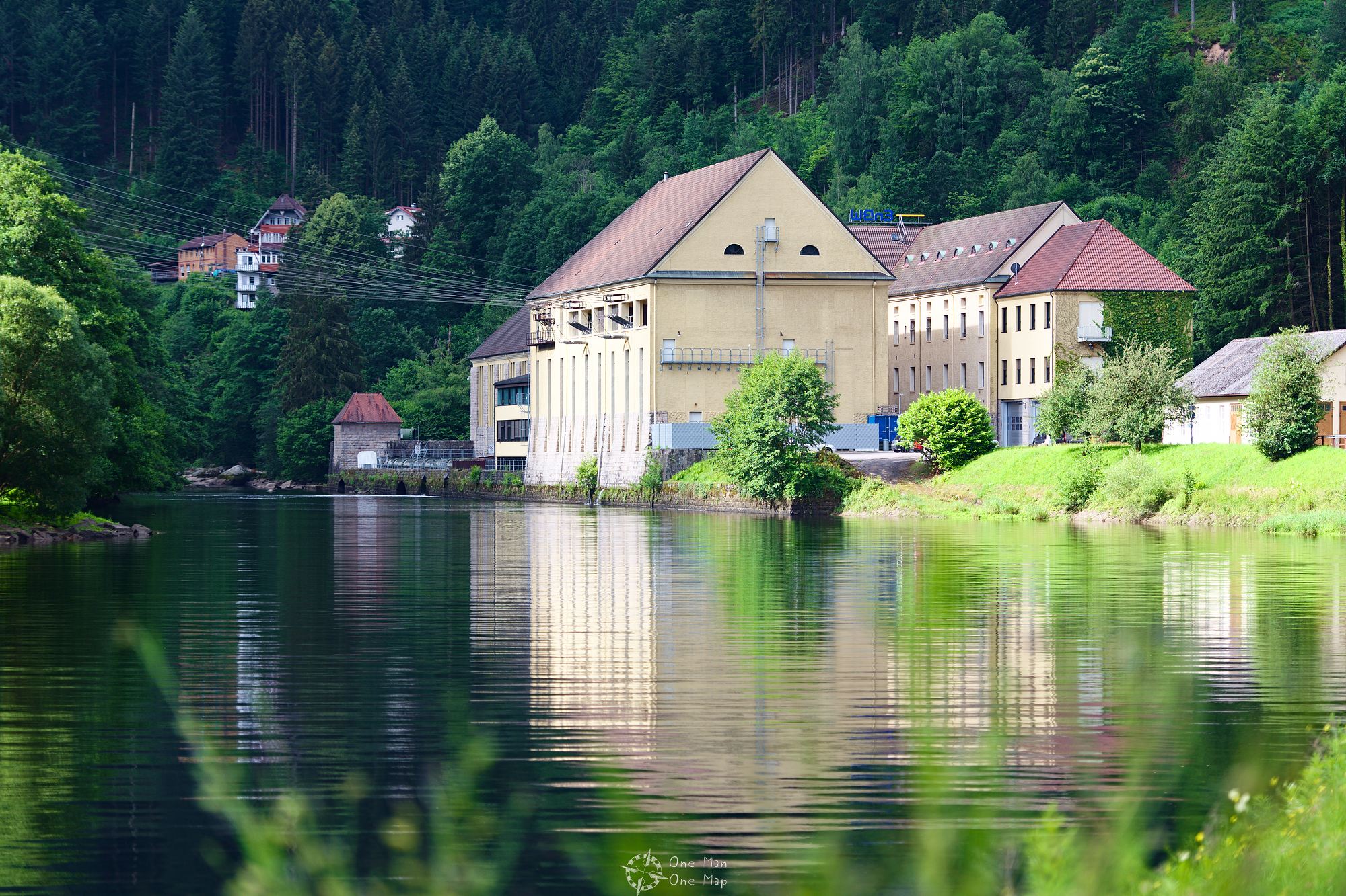
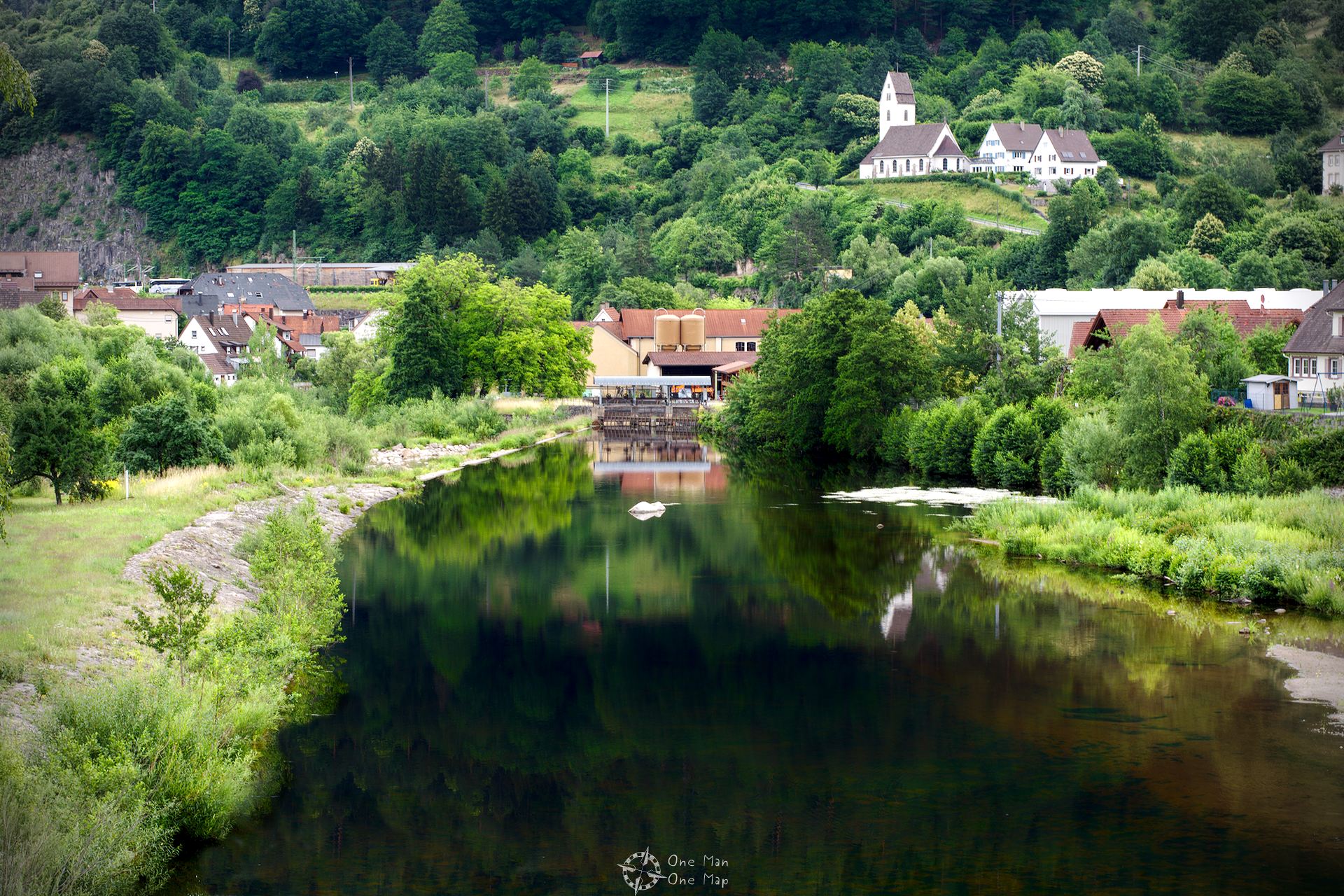
First stage: The Rudolf Fettweis Hydro Plant in Forbach
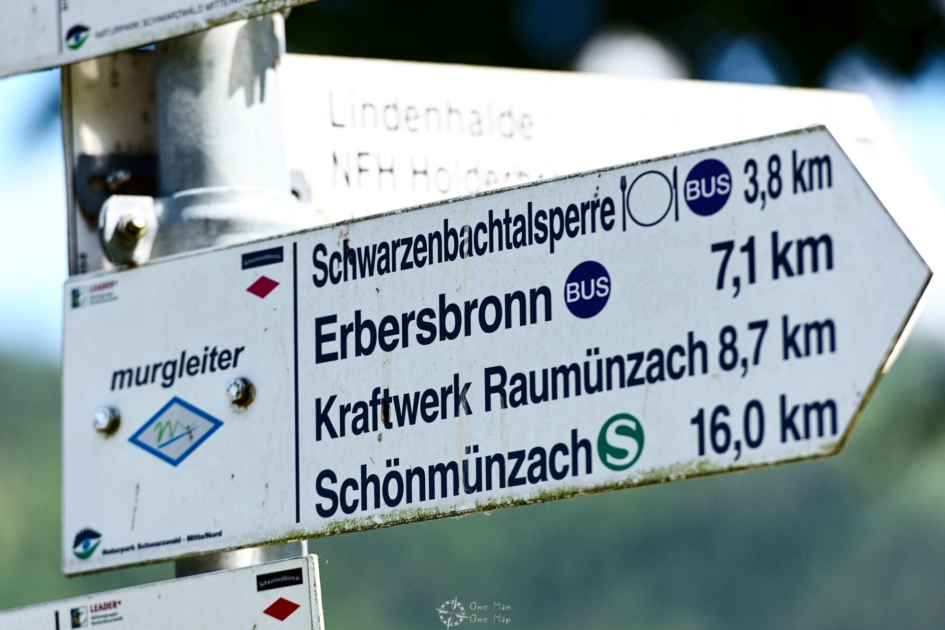
The hike begins in Forbach in the district of Rastatt. The local train from Karlsruhe is the best option to reach it, the S8 line runs every hour.
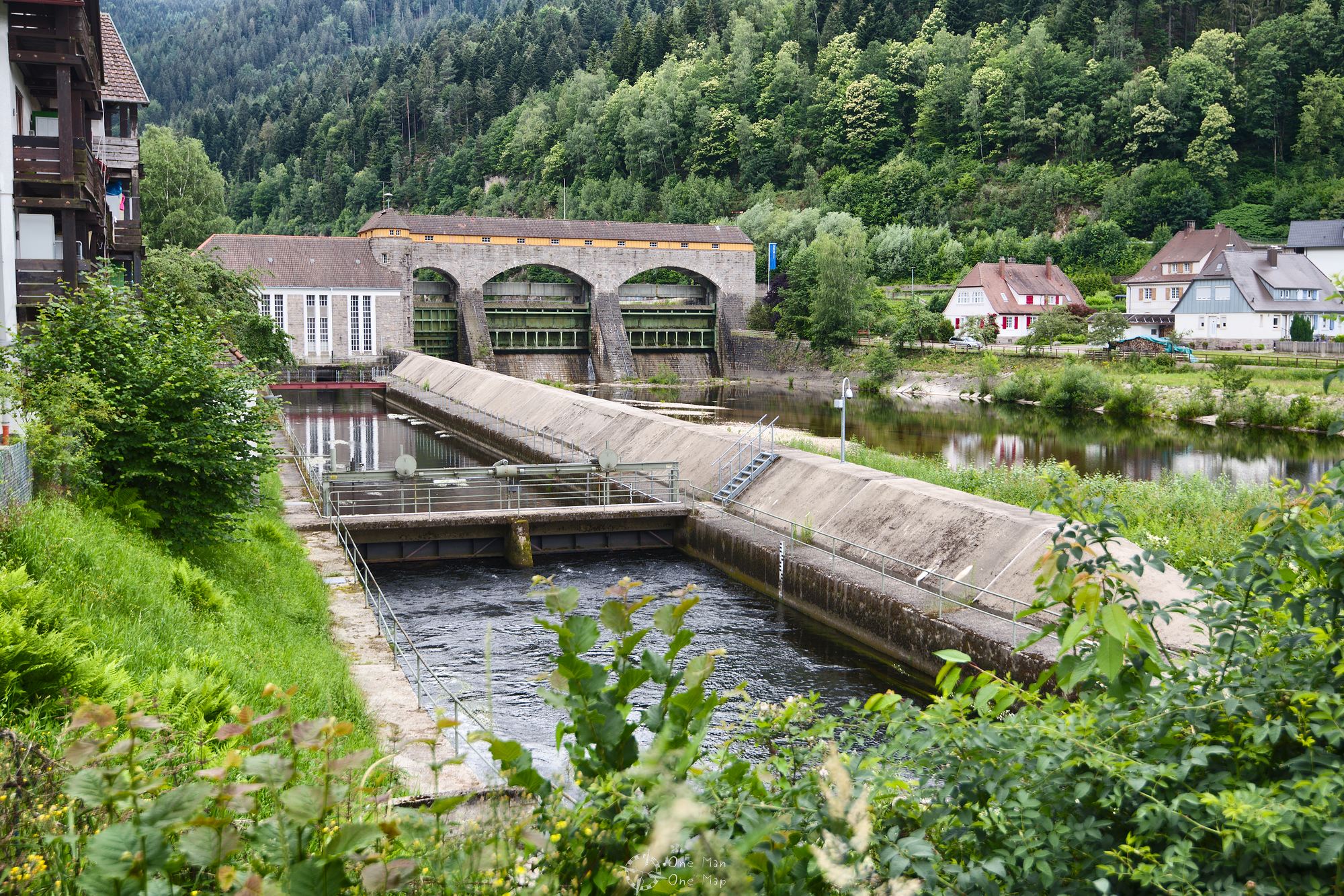
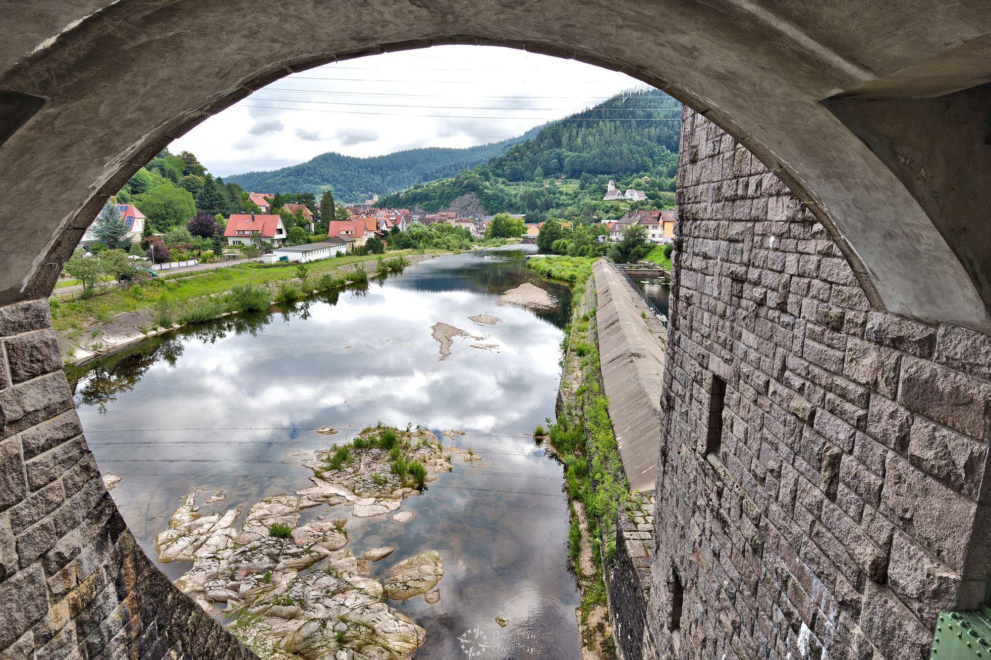
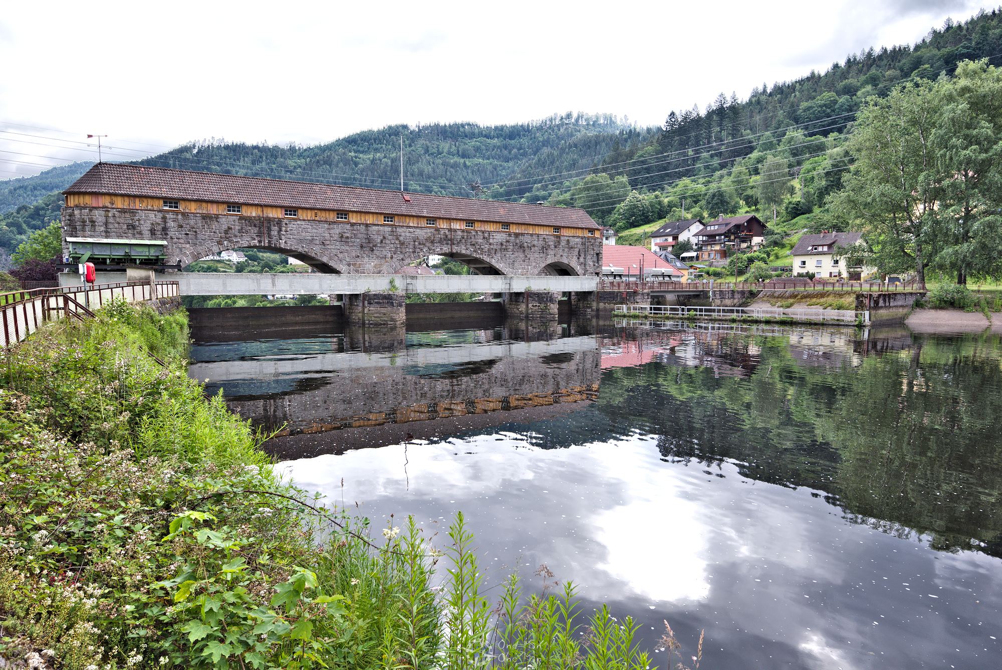
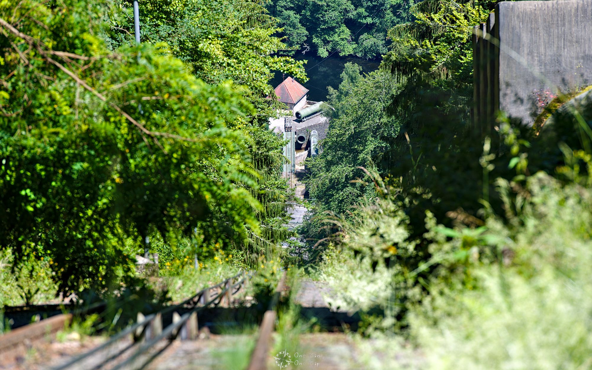
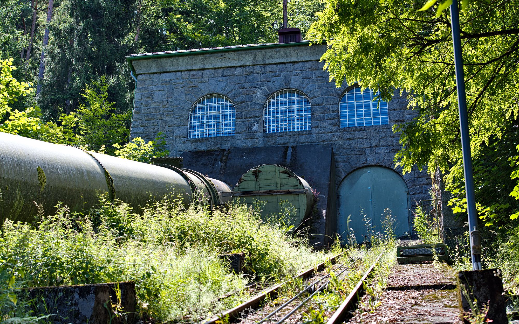
After one kilometer one reaches the small dam at the equalization basin of the power plant, which can be traversed to the other side of the Murg river. There is a small hydro power plant inside the dam which generates up to 2,400 kilowatts, enough for about 2,500 households. The main power plant lies in the other direction.
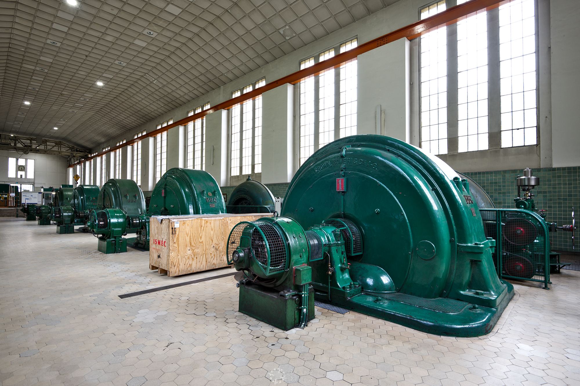
Operator EnBw offers free guided tours on its (german) website, which are always well-attended. If you do not want to travel to Forbach or didn’t get an appointment, you can take the tour from the comfort of your chair today 😉
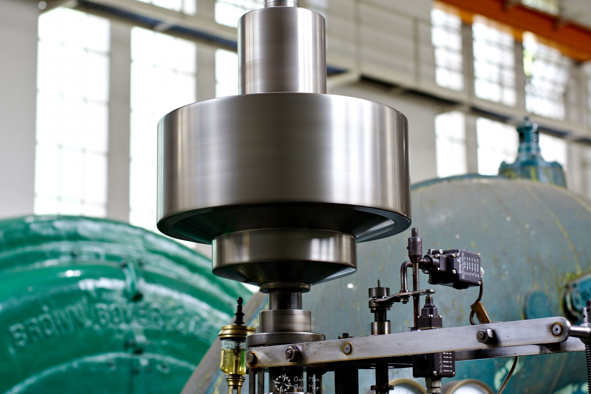
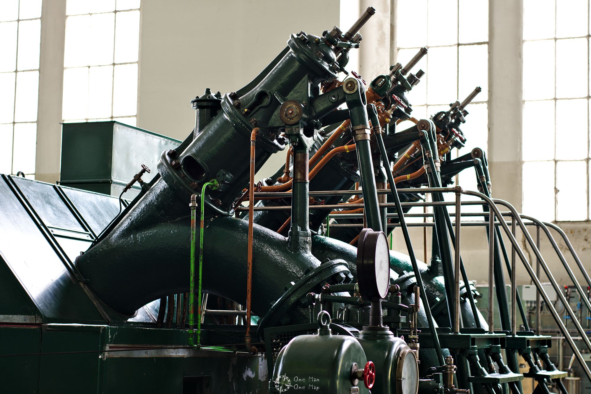
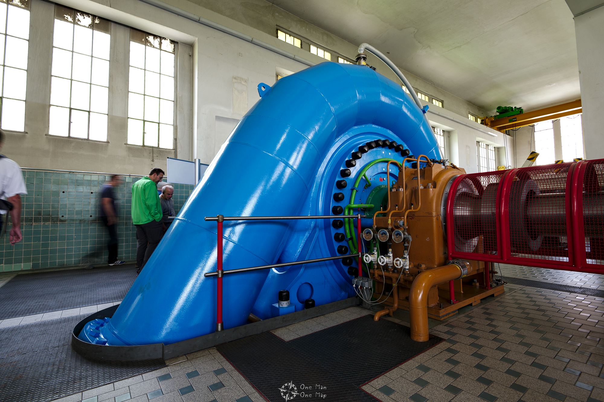
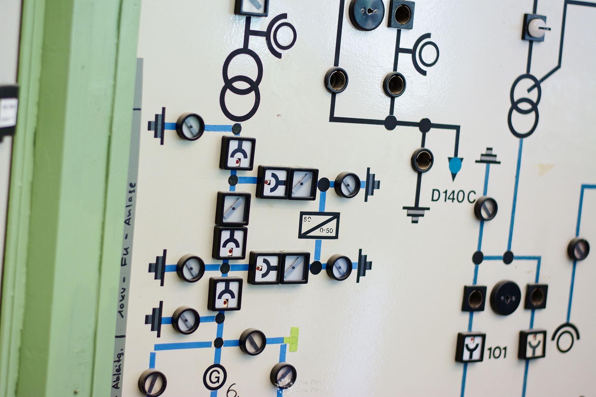
The turbine house in Forbach houses a total of seven turbines, among them two Pelton turbines for the water from the Schwarzenbach dam and five Francis turbines for the water from the Kirschbaumwasen reservoir. The turbines and generators have only been serviced and not replaced since they were commissioned up to almost 100 years ago, so a good part of the controls are is still implemented using simple mechanics.
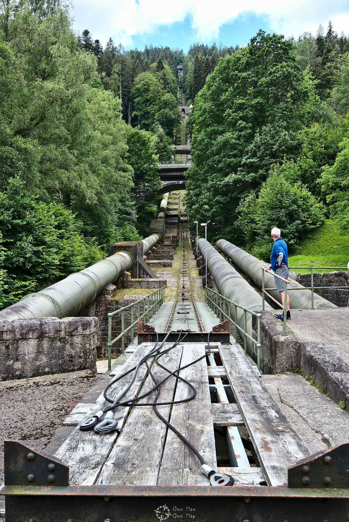
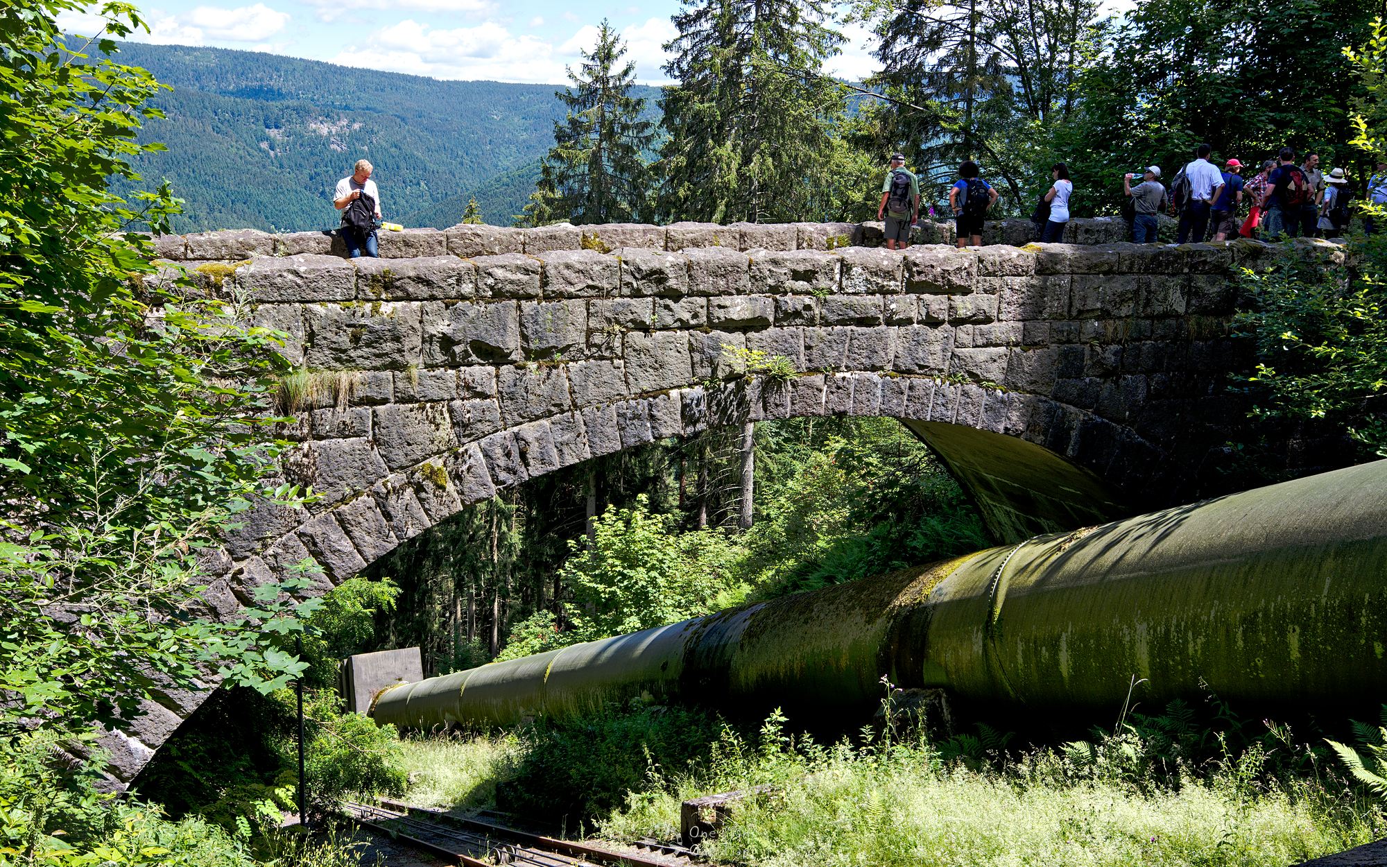
The supply lines were built as above-ground pressure pipes up to 880 meters in length. The bridge in the middle will be crossed in the later course of the hike.
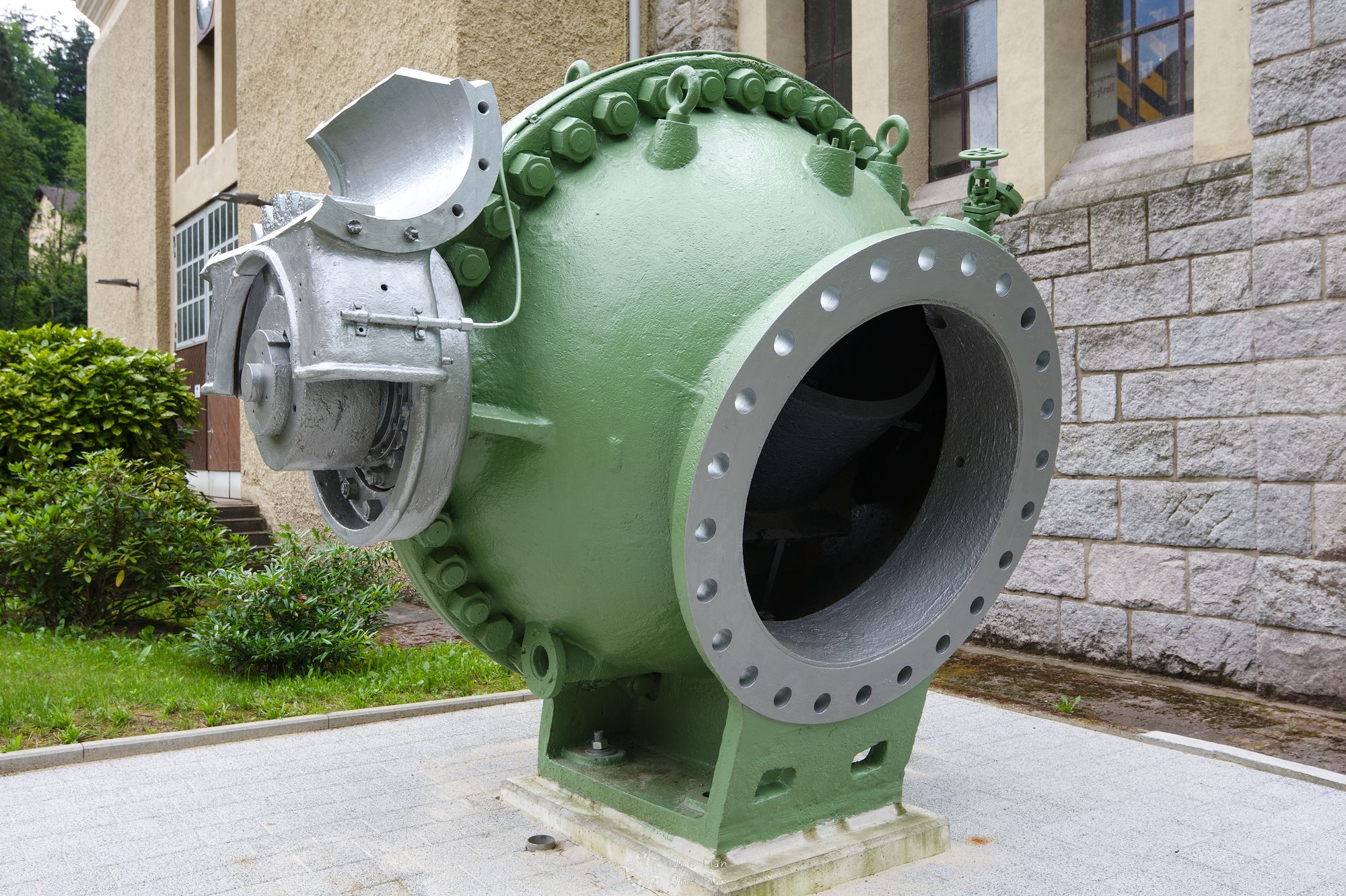
If there is a surplus in the power grid, water can be pumped back up into the Schwarzenbach Reservoir using the large, blue pump. In order not to have to pump the water over the full height of 355 meters, they take the water from the pressure pipe of the Kirschbaumwasen basin instead. The pump then only has to overcome the height difference of 220 meters.
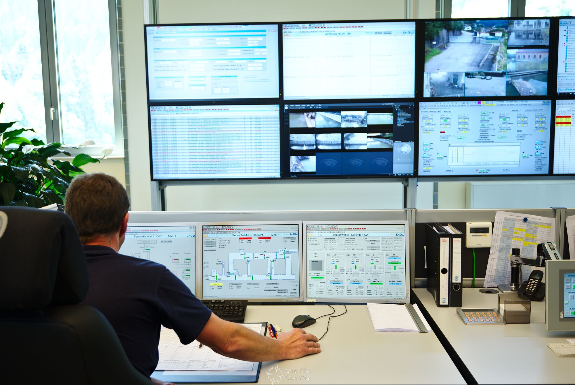
The controls is fully electronic nowadays, even though the remains of the old technology can still be seen everywhere. Not only the local turbines are controlled from Forbach, but they also control several hydroelectric plants in the area. These include, for example, the five hydro power plants along the Iller river. A lot of effort for comparatively little electrical energy: Around 70 megawatts of electric power are generated at peak times in Forbach alone, and the more than 100 hydropower plants throughout Baden-Württemberg sum up to almost two gigawatts. Block II of the Neckarwestheim nuclear power plant near Stuttgart, which is still active until 2022, generates 1.4 gigawatts around the clock in comparison.
In 2010, EnBW applied for an expansion through additional reservoirs and power plants. Since the existing equalization basin down in the valley would no longer be sufficient, a three-times larger, underground cavern storage facility is to be dug into the mountain. The new power plant would also disappear completely in the mountain and the old buildings would remain as a technical monument.
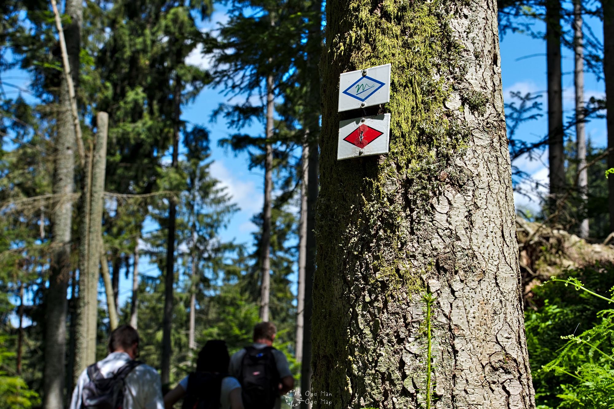
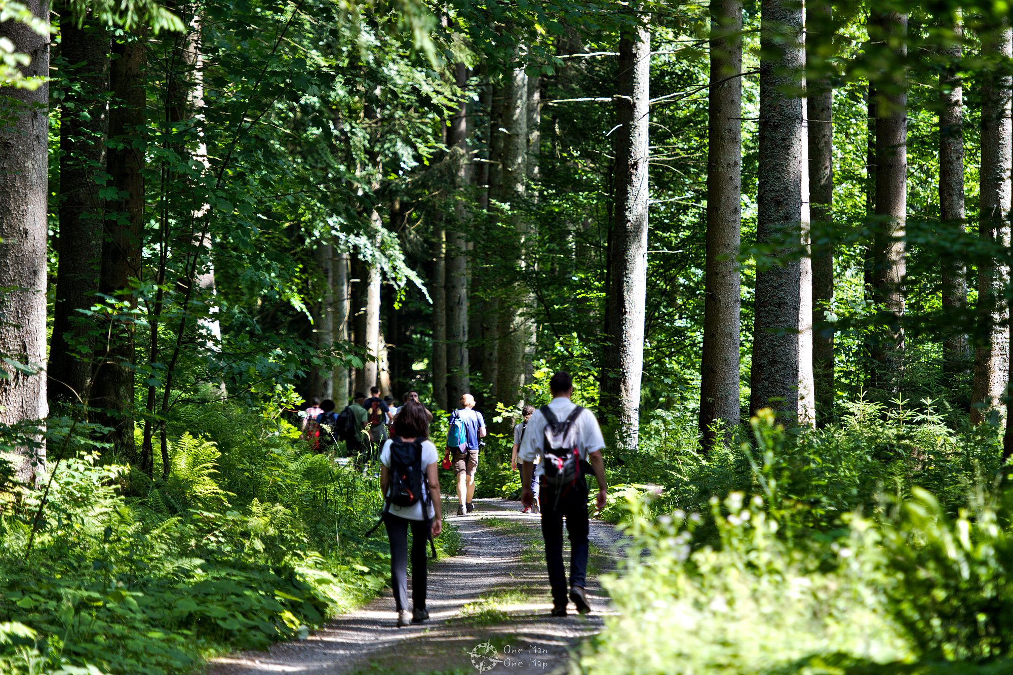
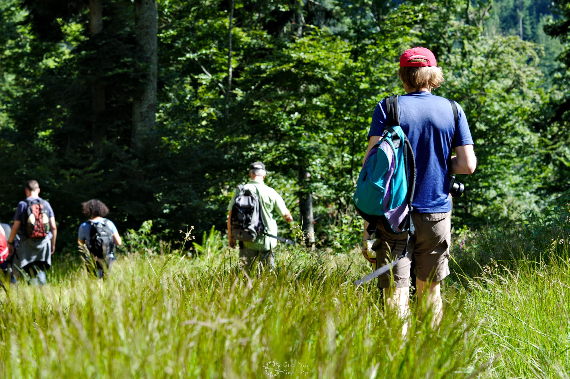
Second stage: Along the Murgleiter to the Schwarzenbach dam
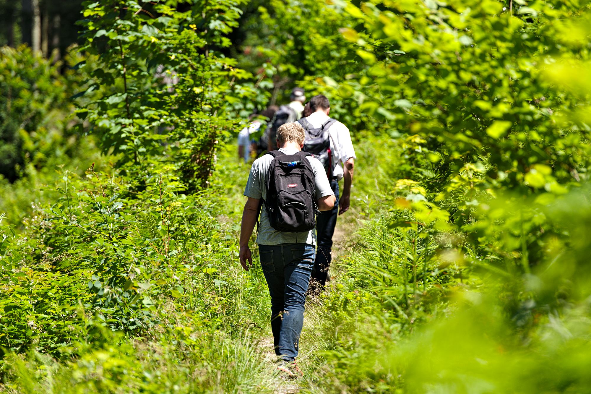
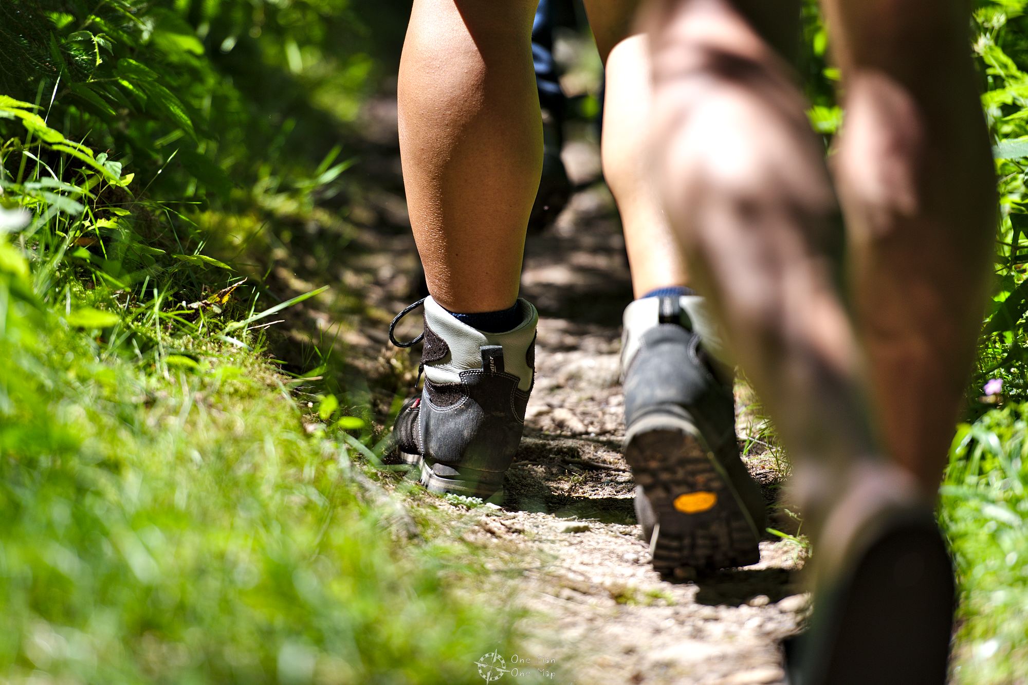
The hike continues through the town center of Forbach and then along the well signposted “Murgleiter” up to the highest point of the hike at an elevation of 728 meters.
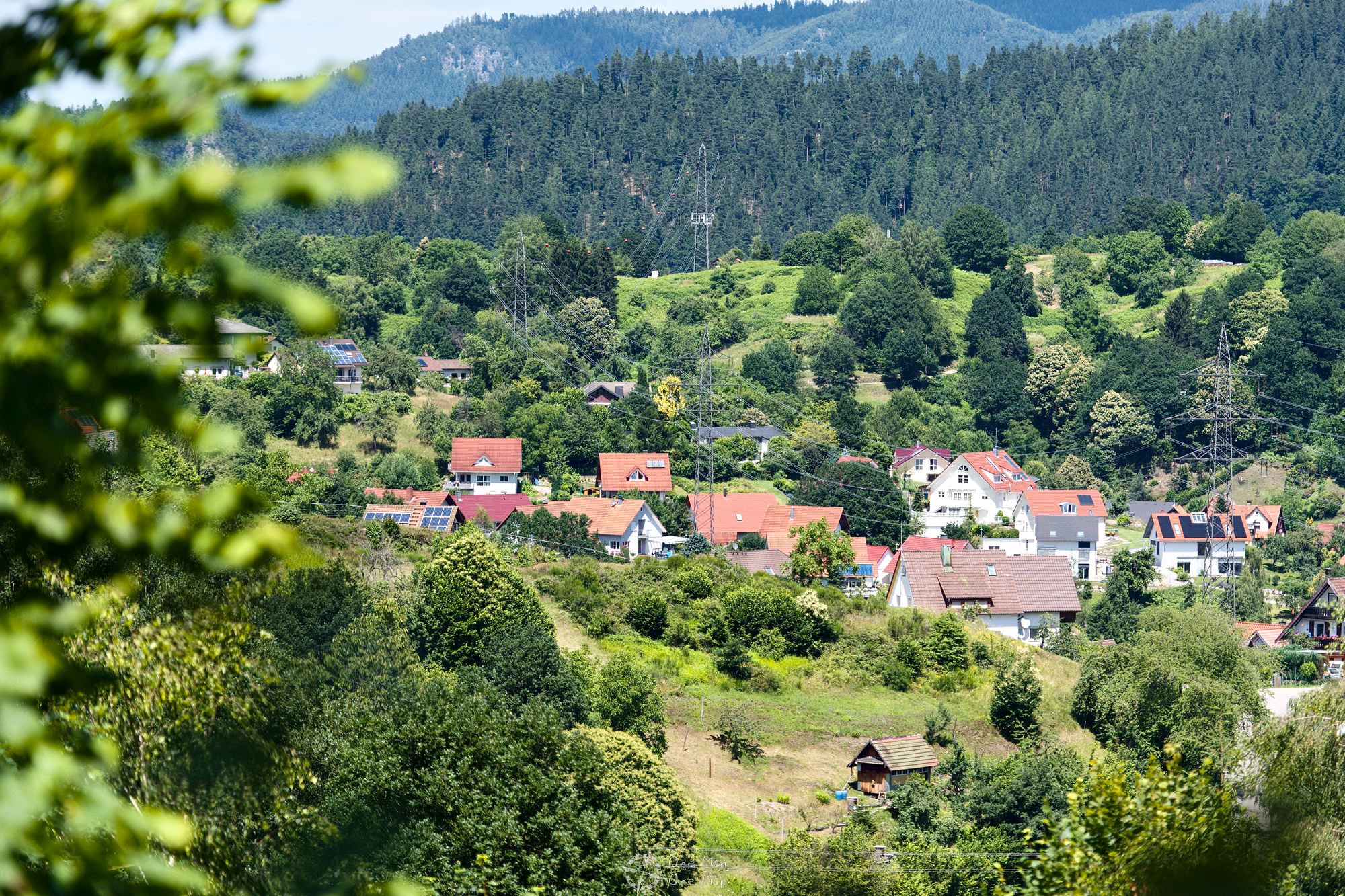
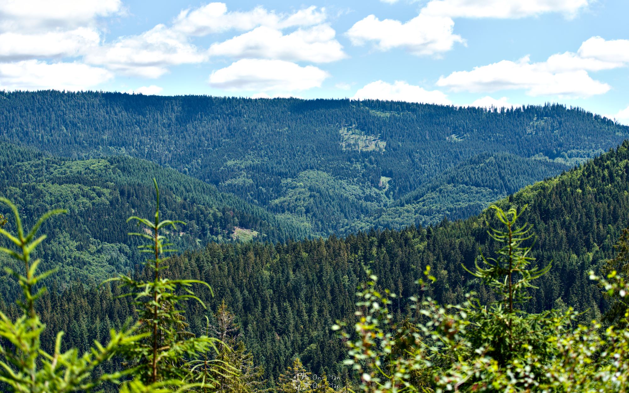
Along the way there is a lot of nature to be seen, but there’s also the one or other beautiful view on the Black Forest.
About 280 meters above the Rudolf Fettweis Hydro Plant a bridge crosses the pressure pipes. Between them run the rails of the inclined elevator used for construction and later maintenance.
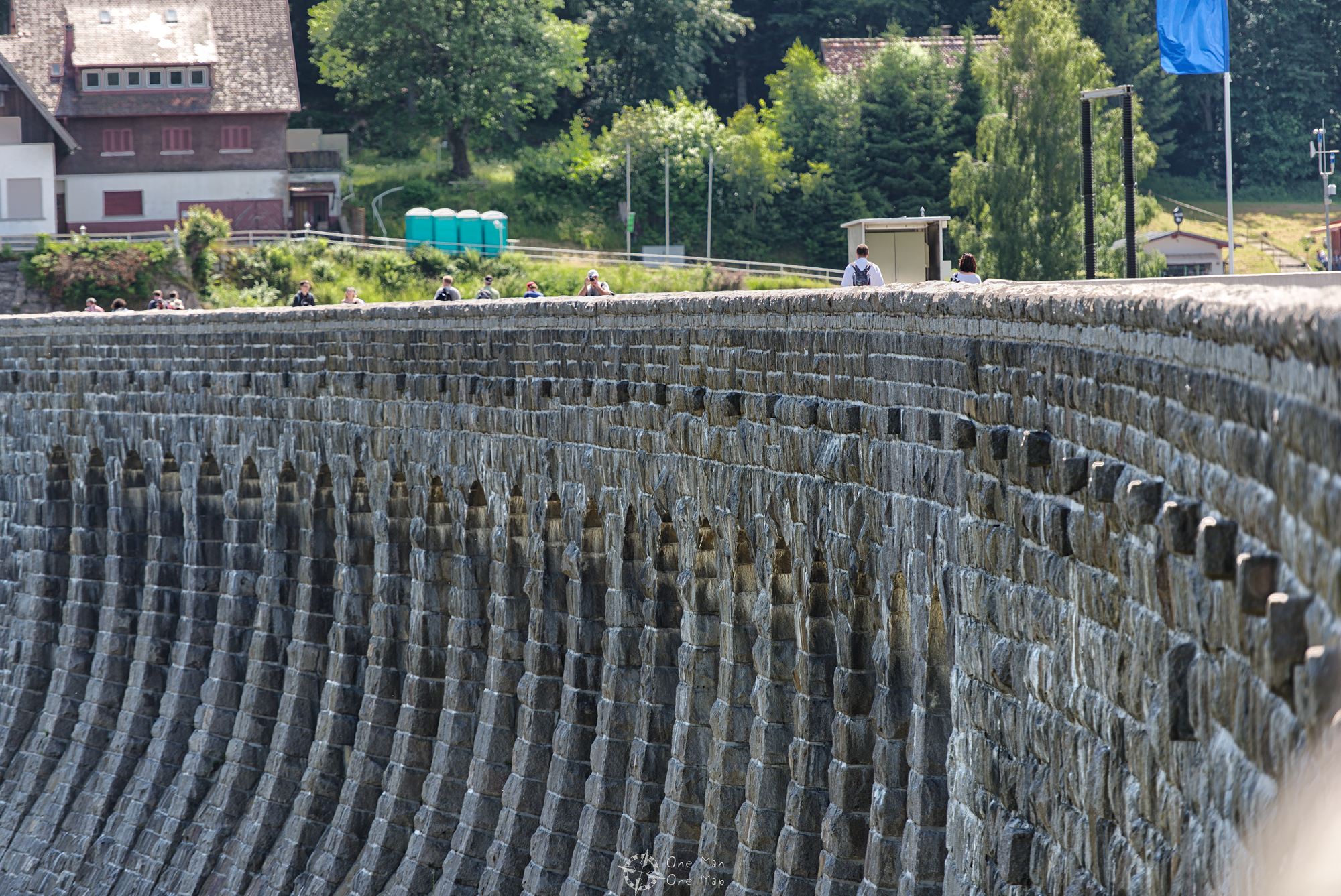
Stage three: The Schwarzenbachtal dam
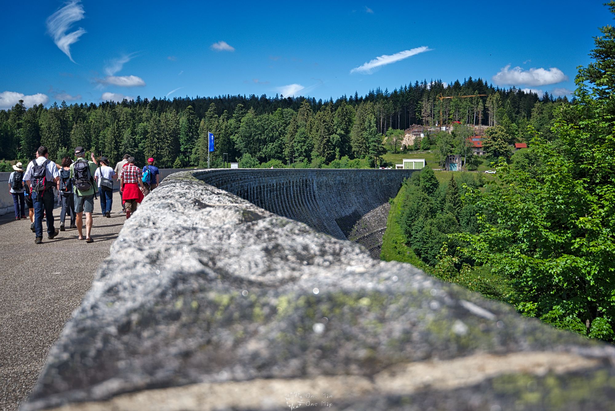
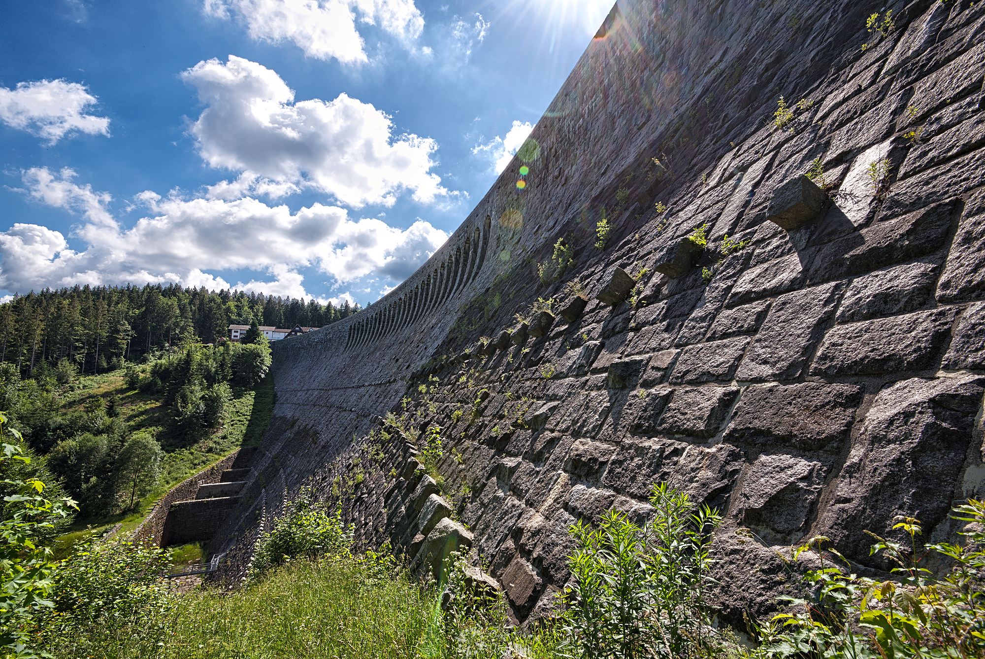
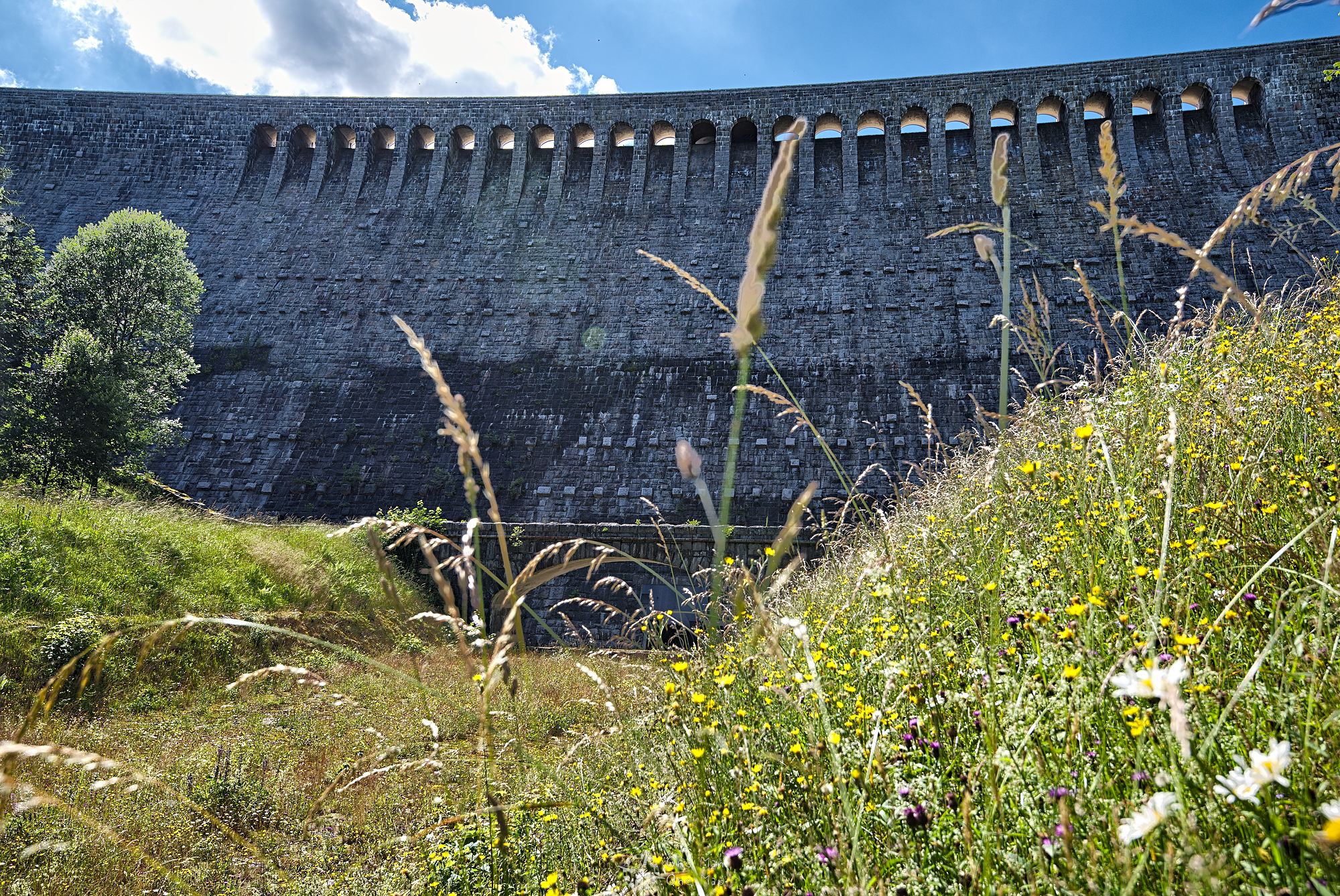
After about seven kilometers since the start, the forest suddenly opens up and the 400 meter long and 65 meter high Schwarzenbach dam appears out of nowhere. back in 1922 its construction had presented the workers with great challenges. A field railway and an inclined lift had to be constructed for the delivery of the building material from a distant quarry . Dynamite was scarce in the postwar period, blasting was done with liquid air instead.
During the tour we were shown a frightening and at the same time entertaining black and white movie filmed during the construction works nearly 100 years ago. The term “work safety” didn’t seem to have been known at that time… 😯
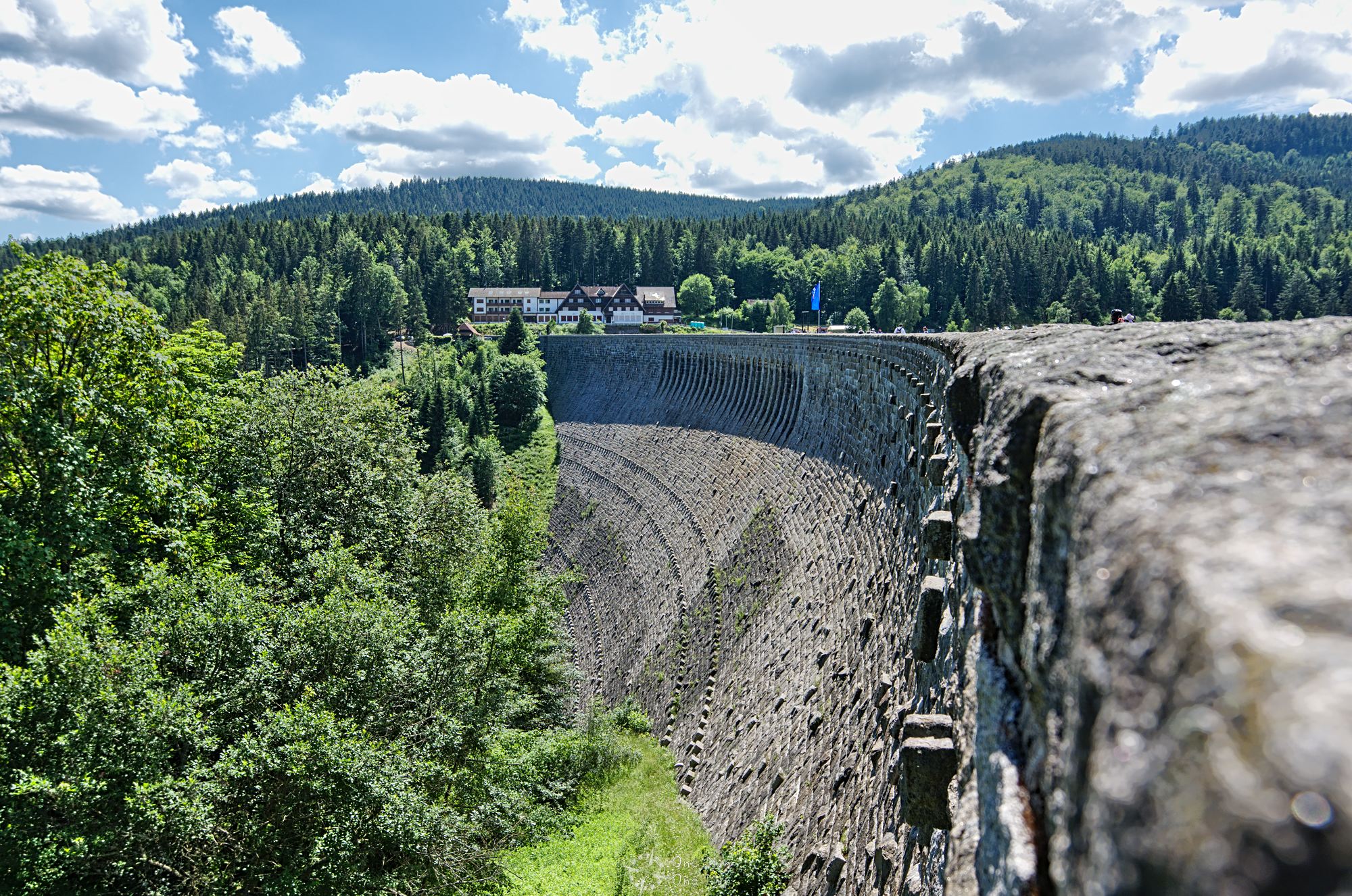
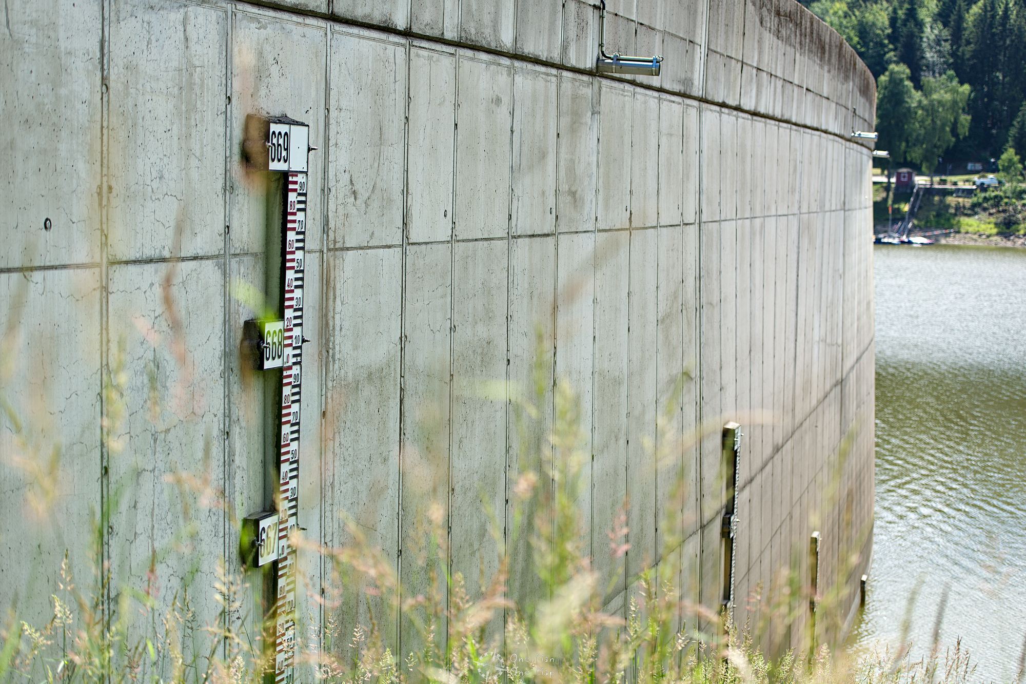
The reservoir holds 14.4 million cubic meters of water, compared to other German reservoirs that’s somewhere in the midfield. Despite bombardments during the Second World War, it was emptied only three times: in 1935, 1952 and 1997. No wonder, emptying the resorvoir completely takes two and a half months. The last emptying in 1997 became an unexpected crowd puller because in addition to weapons from World War II, coins and other items were found. It also helped with dismissing the legend of a flooded city which supposedly still existed on the bottom of the lake.
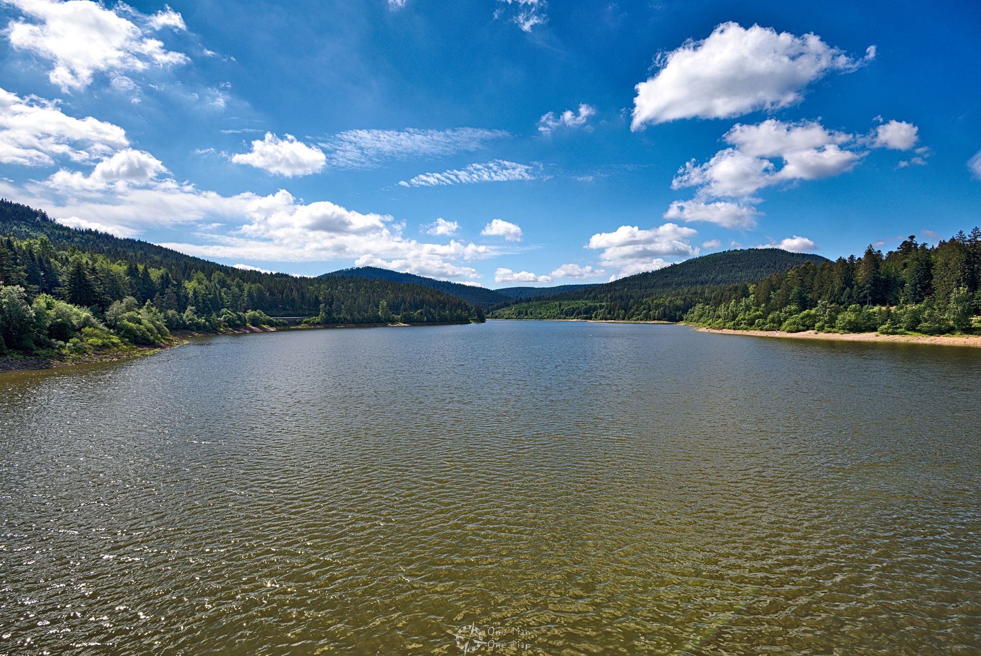
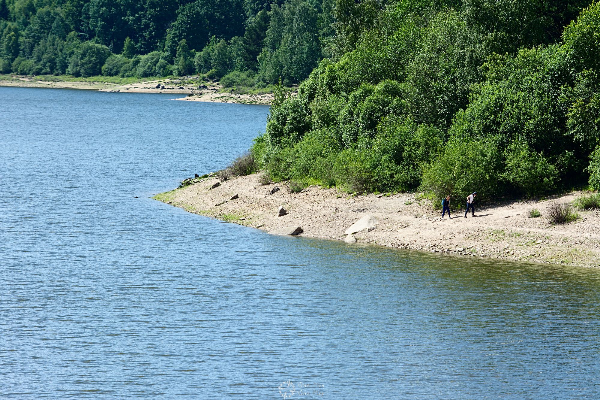
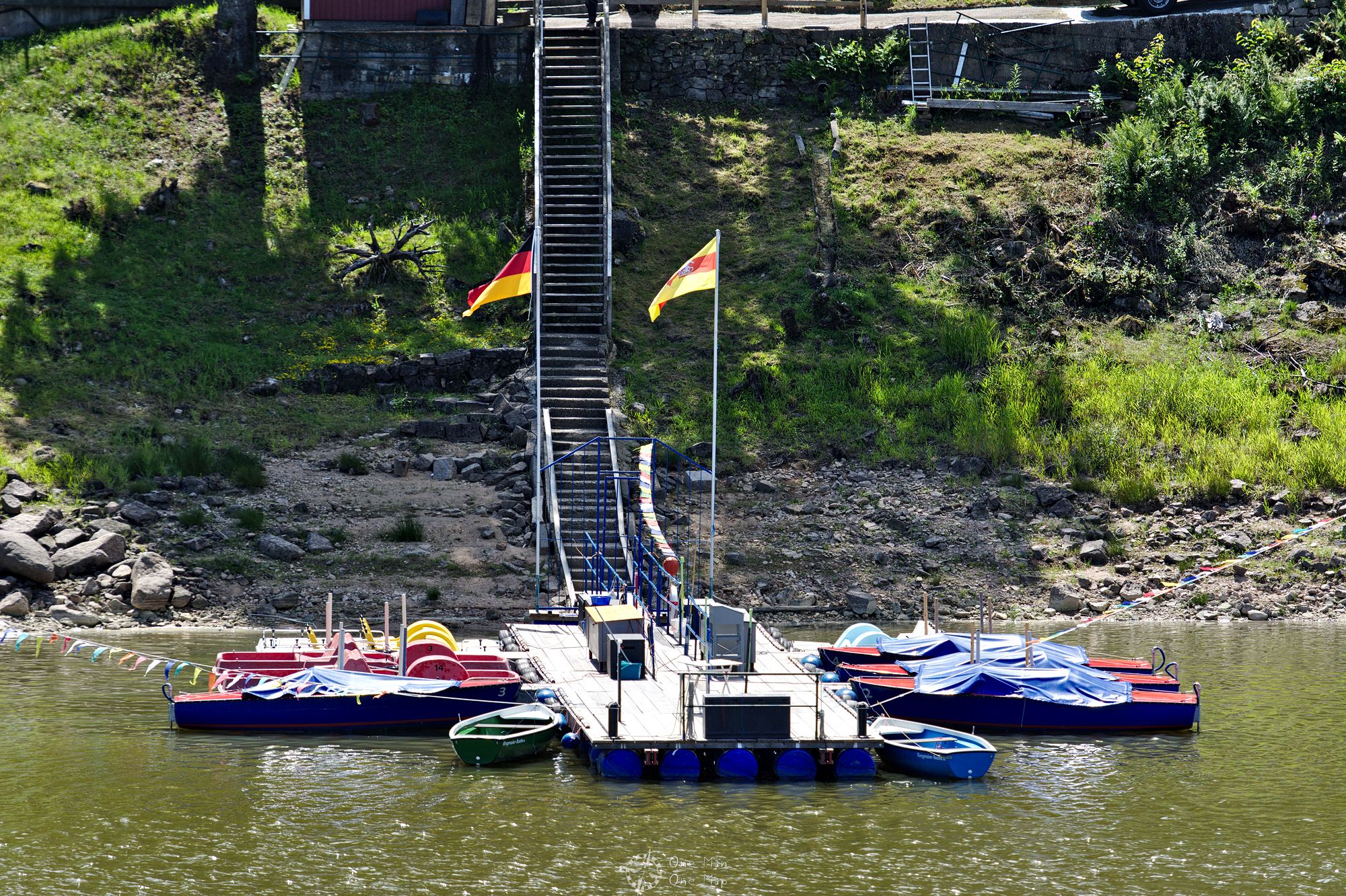
Unfortunately the reservoir is not a good recreational area (anymore?). Although there are a small refreshment stand near state road L83 on the southern side of the reservoir and a pedal boat rental station, the pedal boat rental was closed when we visited the dam in June 2018. This might have been the case due to the rather low water level.
Fourth stage: Down to Raumünzach train station
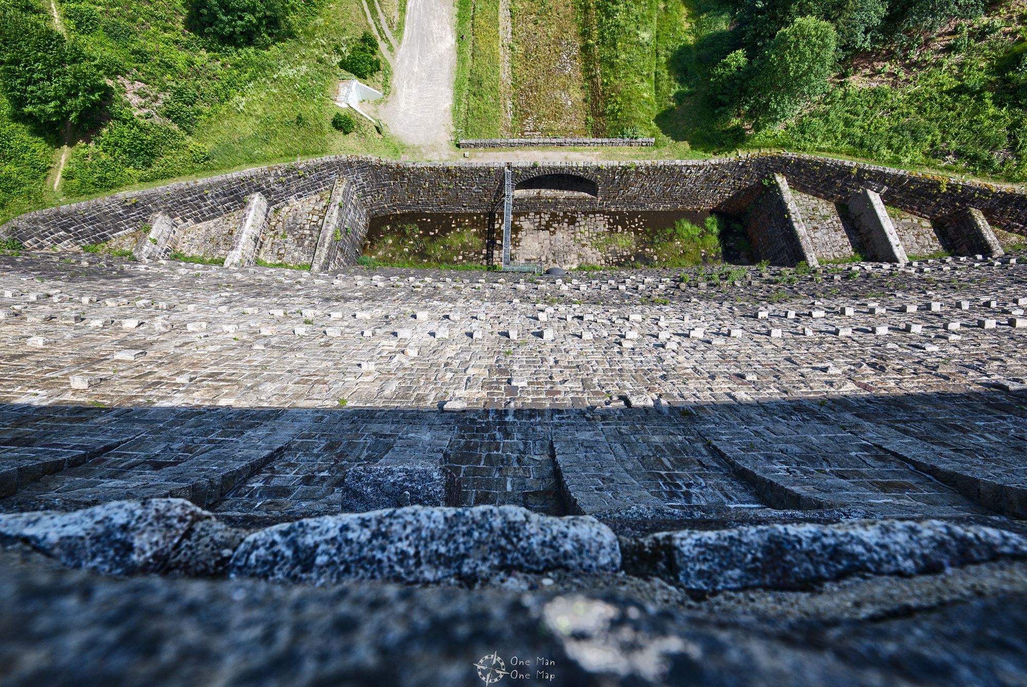
The four kilometer descent to the Raumünzach train station first leads to the bottom of the dam and then along the dried Schwarzenbach river back down to the bottom of the valley. The true size of the dam becomes even more clear from below.
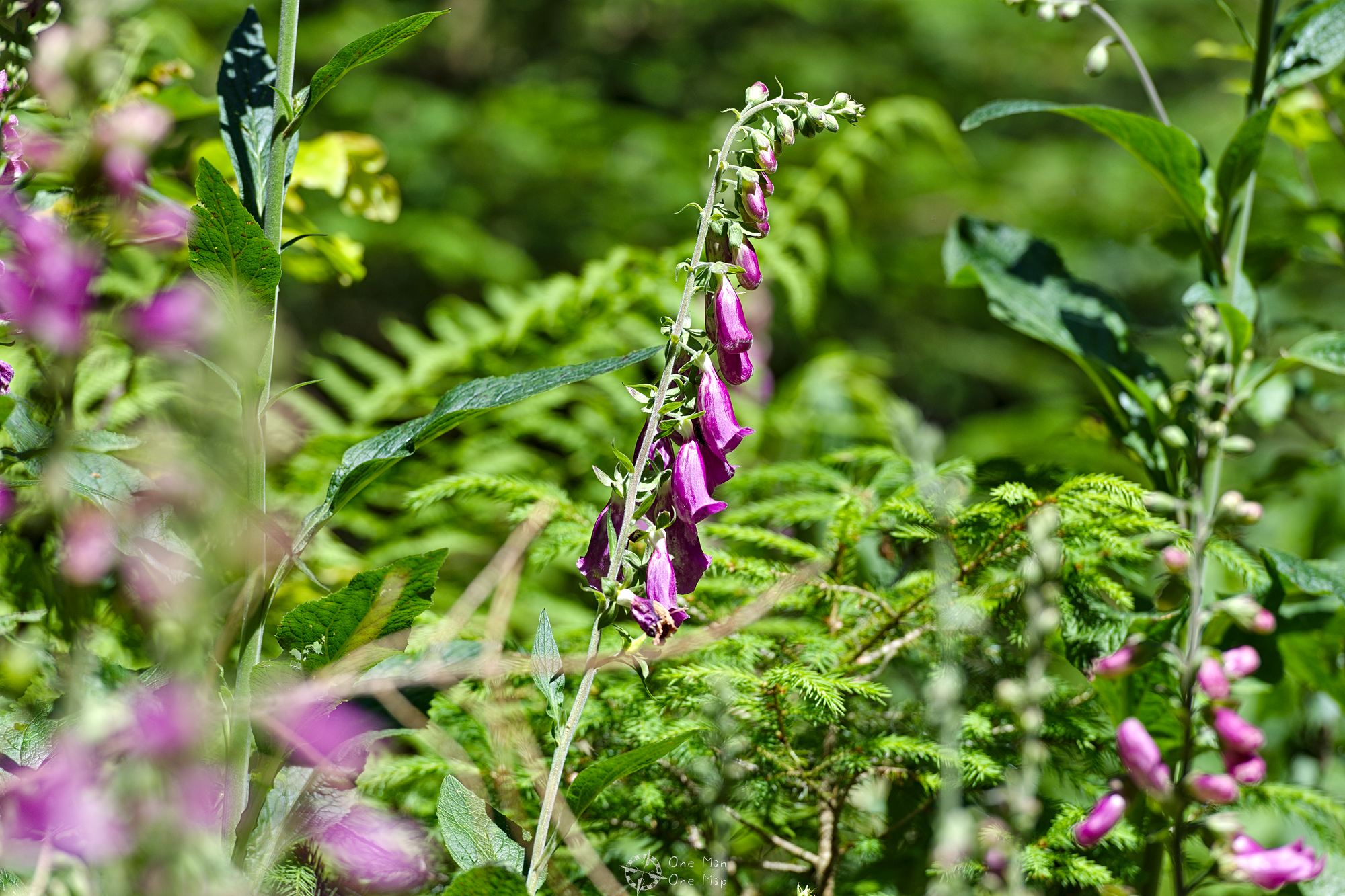
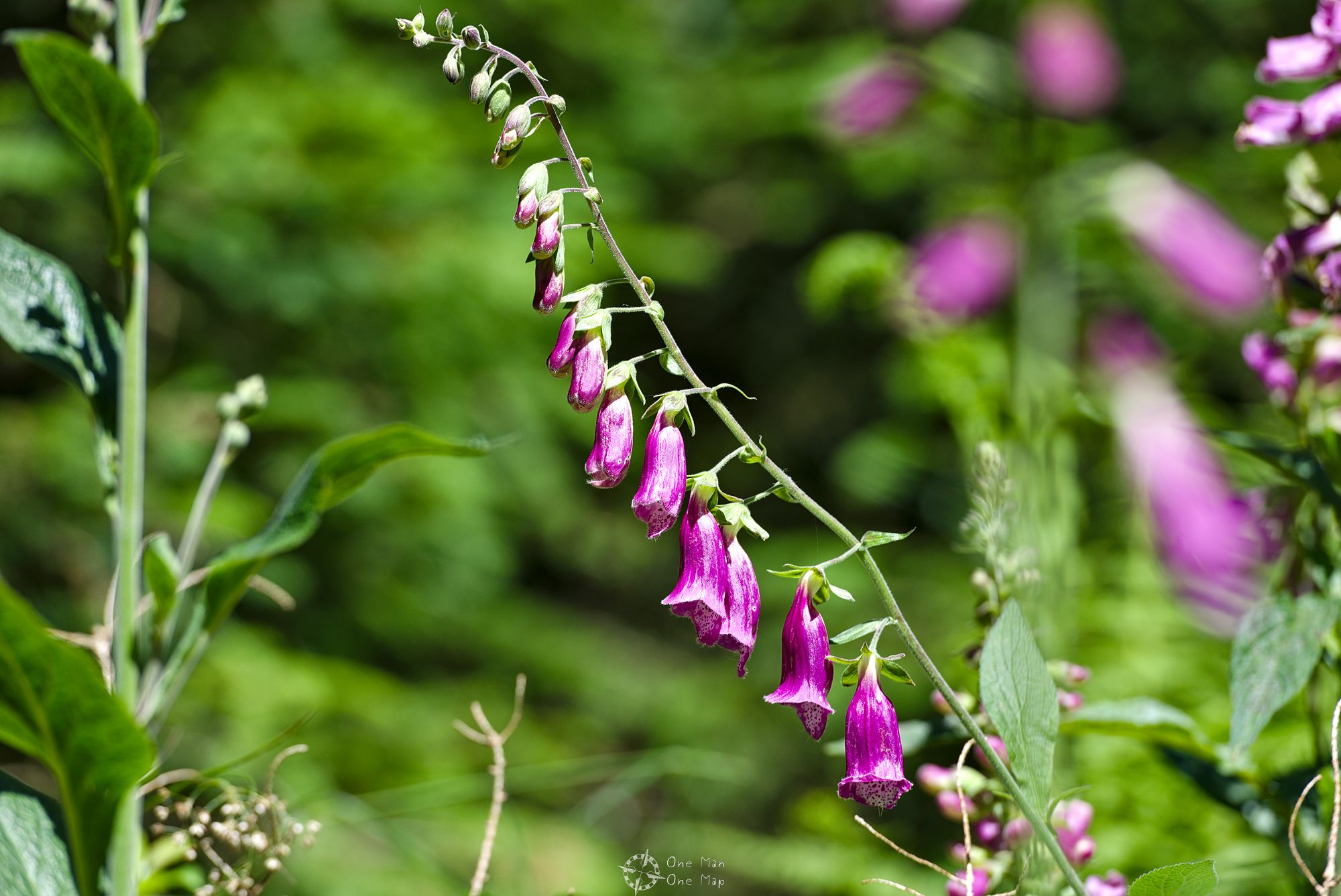
Again, there is a lot of forest and nature to see on the way down. Red foxglove seemed to flourish magnificently. Caution: All plant parts are highly toxic!
The last piece of the descent is especially steep, at the steepest point one goes down just under 200 meters on a length of just one and a half kilometers.
From the train station in Raumünzach you can either reach the starting point in Forbach within 5 minutes or the train station Karlsruhe within 71 minutes. It is advisable to plan the descent according to the timetable, as the trains run only once per hour at the weekend.
This post was written by Simon for One Man, One Map. The original can be found here. All rights reserved.