Dieser Artikel ist auch auf Deutsch verfügbar. Click here to find out more about Albania!
For an overview on Albania, have a look at the introductory post.
The south is definitely Albanias most beautiful part. In the triangle between Vlorë, Berat and Sarandë everything comes together: sea, mountains, mountain villages, national parks and beaches. Everybody interested in culture, history and/or hiking should head to Berat and Gjirokastër. Sun worshippers can jump from beach to beach along the coast.
We focused on the coastal region between Vlorë and Sarandë and made a detour to Berat. We had to skip the mountains between Berat and Girokastër with the Blue Eye (Syri i Kaltër, a very deep water source with bright turquoise water), unfortunately. A map with all mentioned sights and a GPX file for download can be found at the end of the post.
Berat
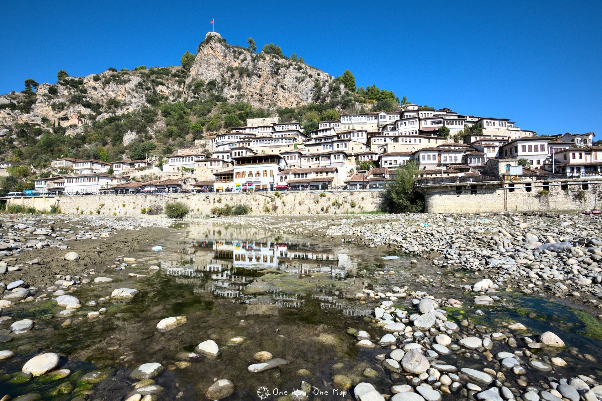
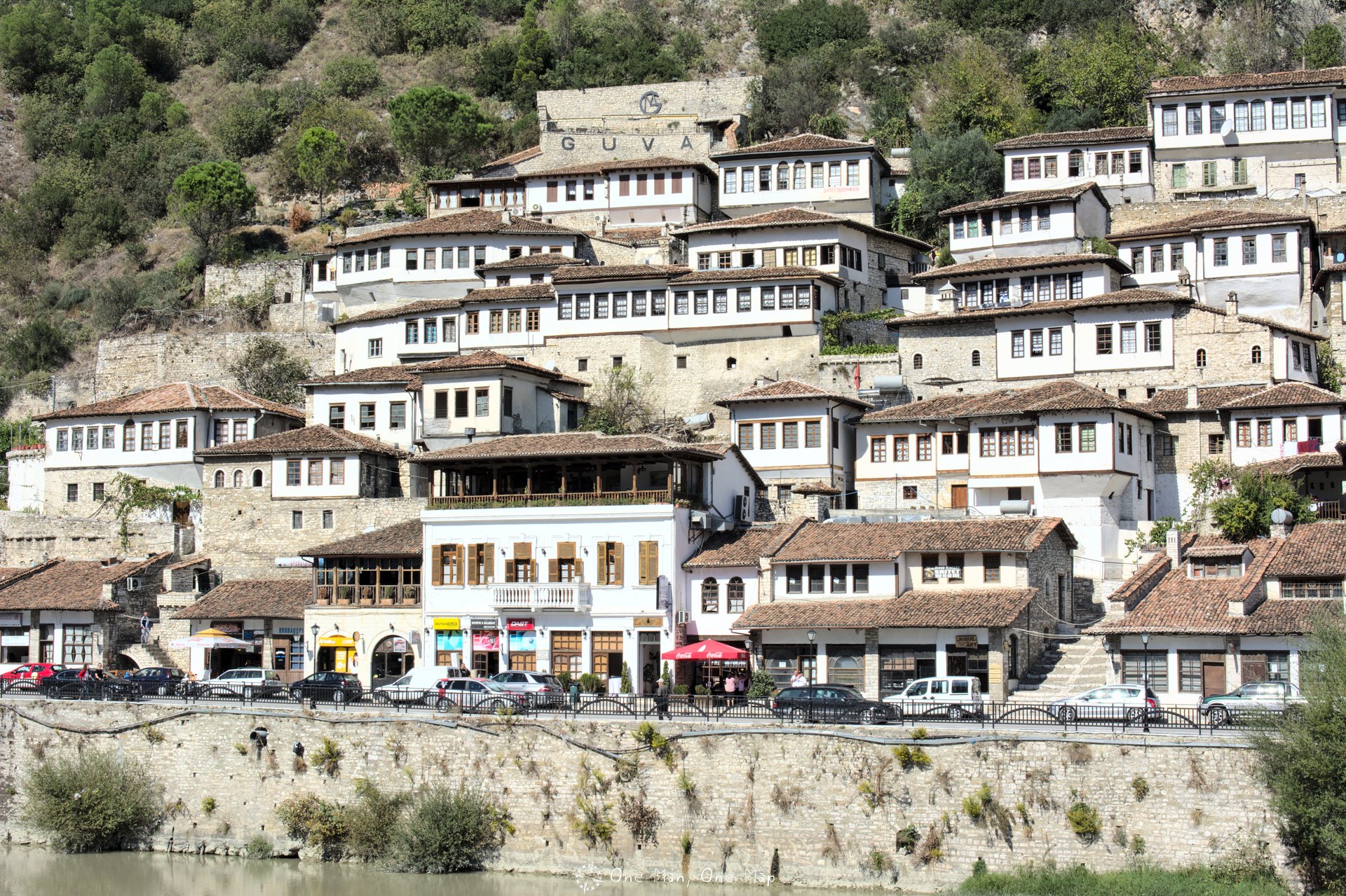
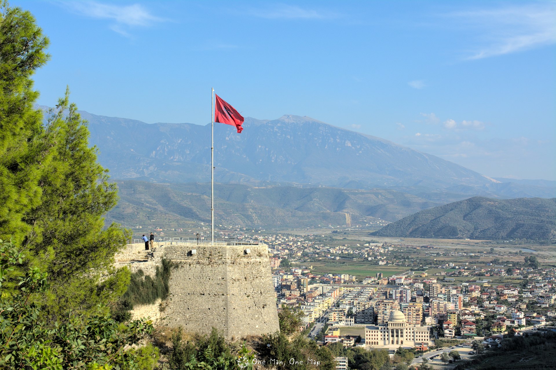
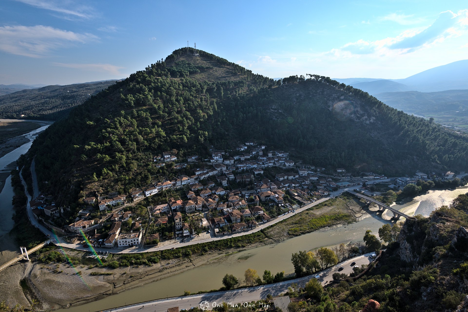
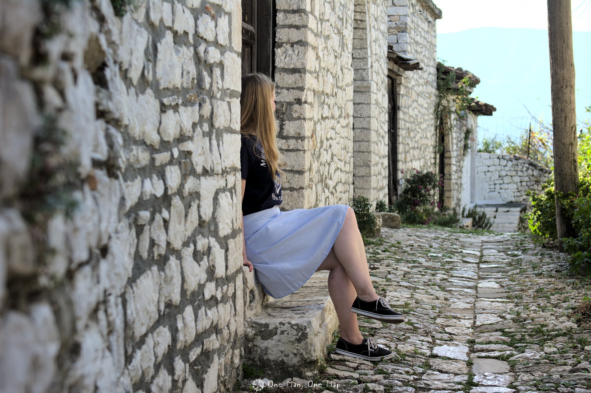
The City of Thousand Windows, as Berat is also called, is one of the most important sights in the country. The typical, whitewashed Ottoman houses in the districts Mangalem and Gorica as well as the old fortress Kalaja high above the city are tourist magnets. In 2008 the old town was declared a museum city and added to the list of UNESCO World Heritage Sites.
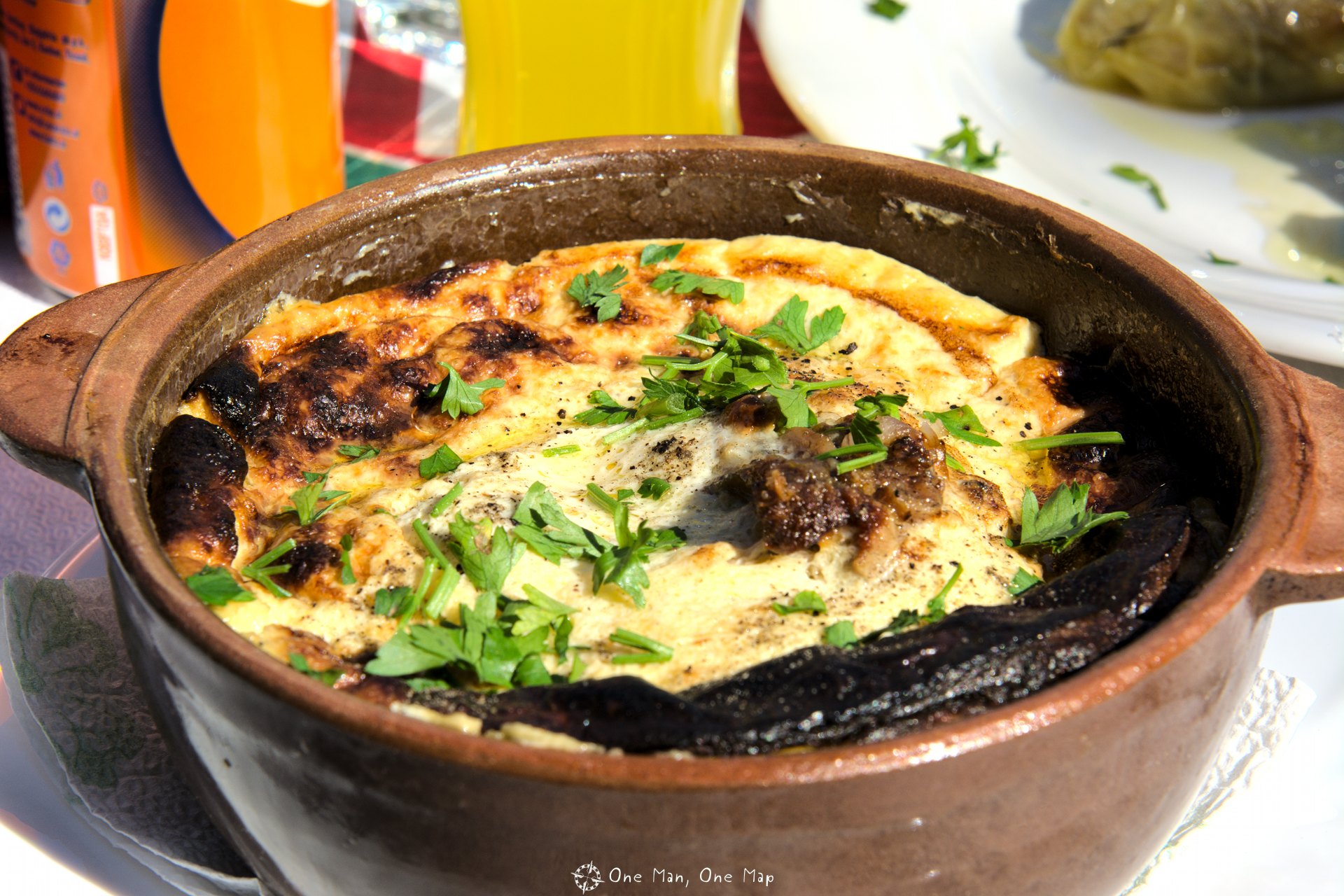
Berat is the best place to taste one of the Albanian national dishes: Tavë Kosi. Made from lamb, eggs and yoghurt, the dish turns into some kind of “quiche” when baked in the traditional ceramic bowl. At Restaurant Antigoni you can sit on the terrace and look over the river Osum, the old town and the fortress while waiting for a dish of Tavë Kosi.
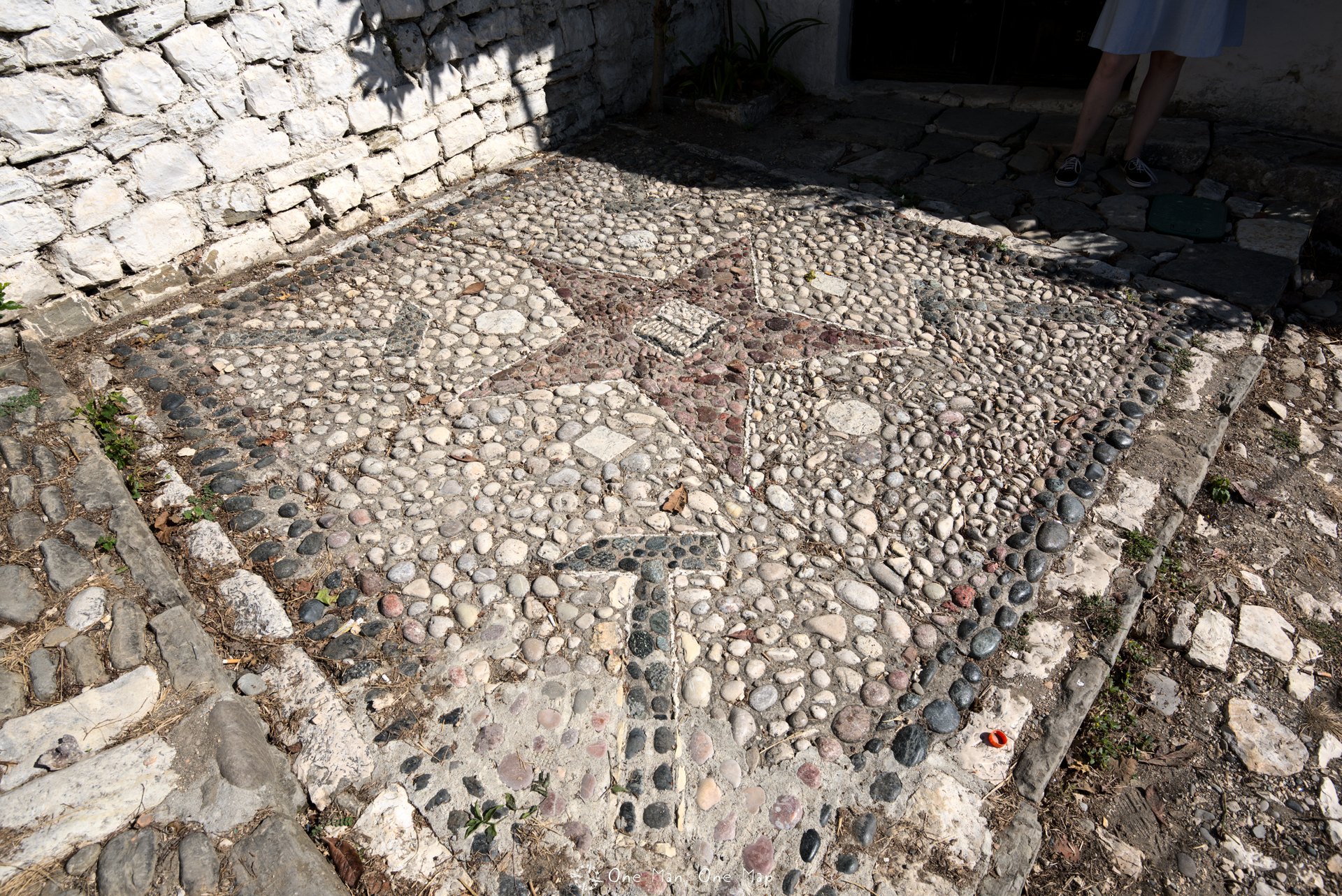
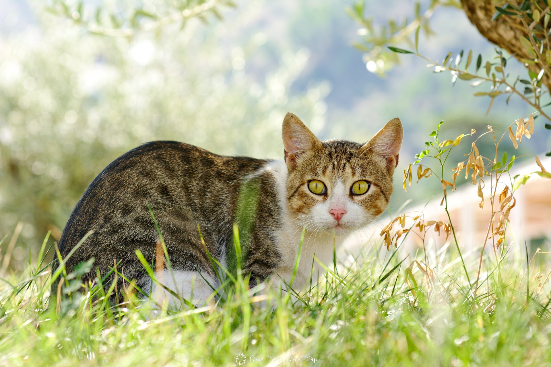
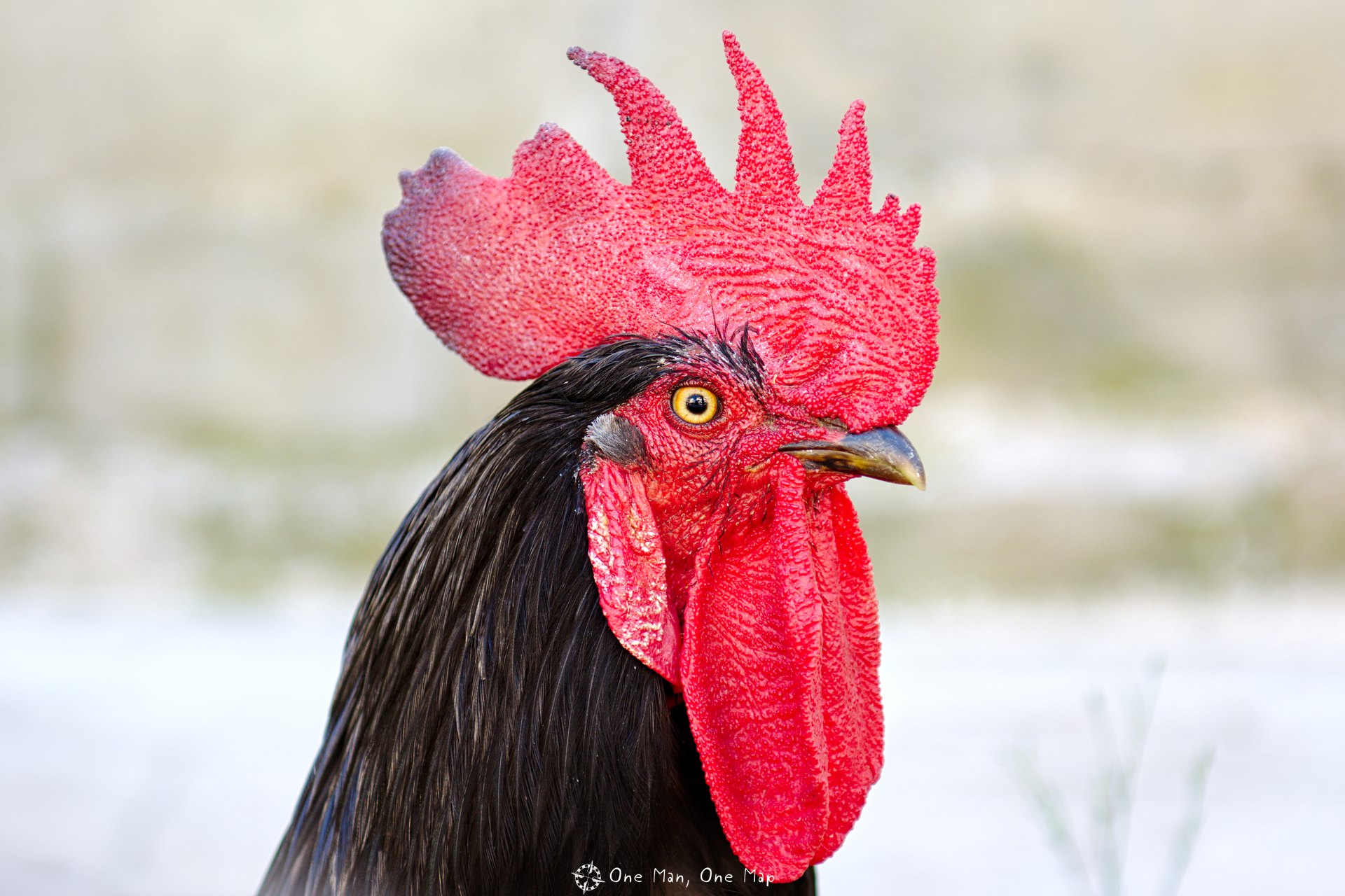
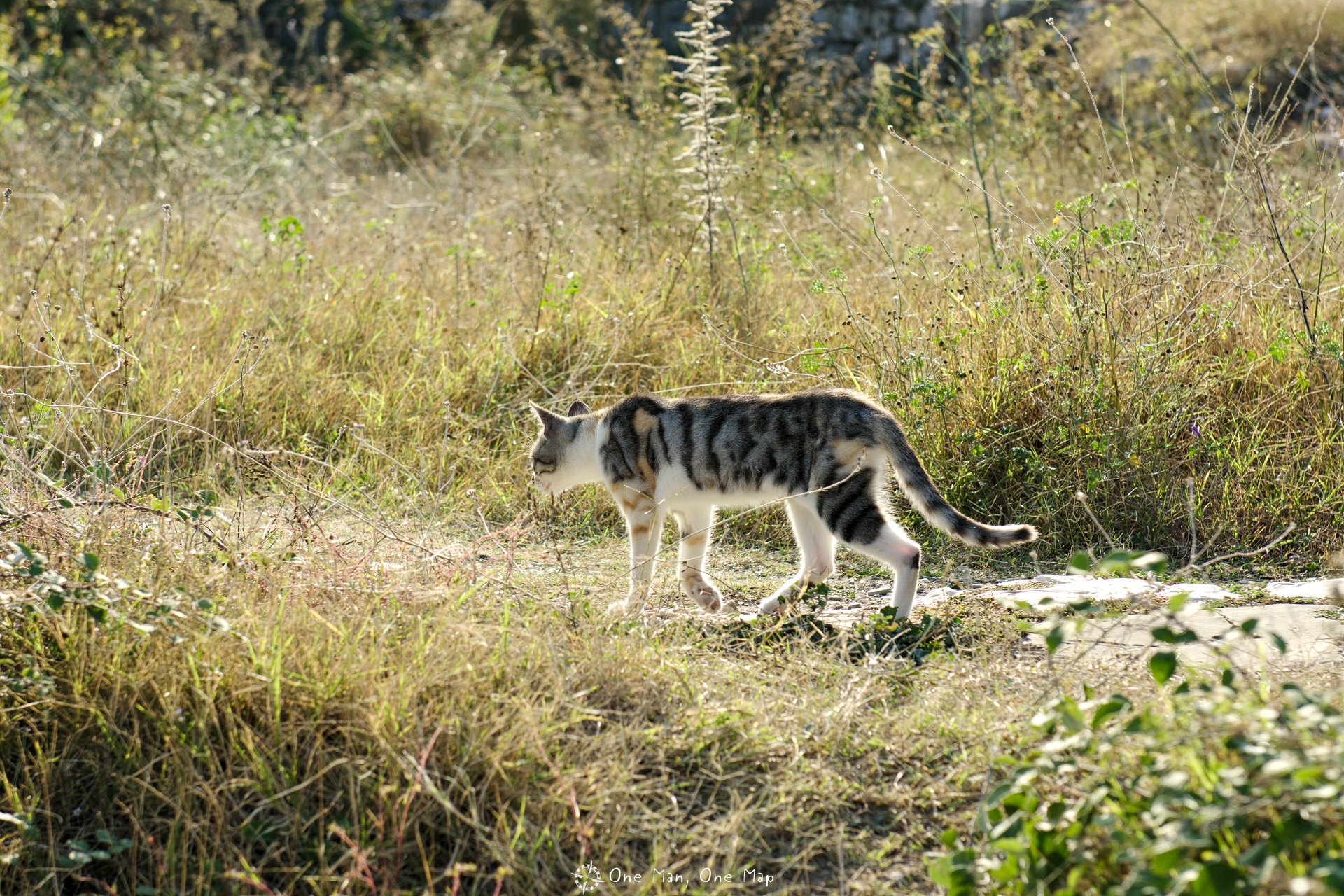
But not just the food is traditional. Between the hammer-and-star mosaics, chicken and cats one can’t help but feel like under Communism in the 1970s…
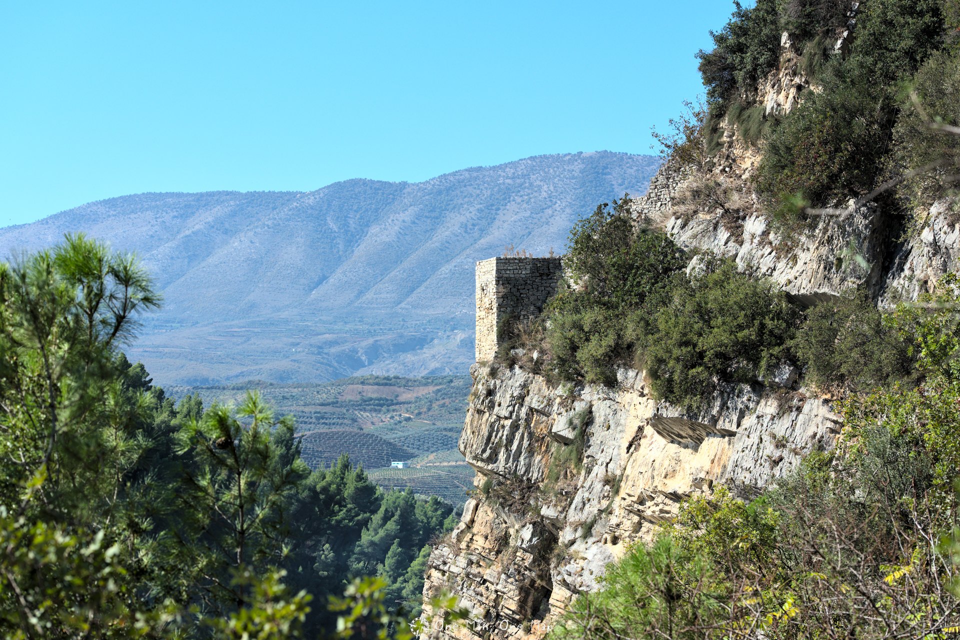
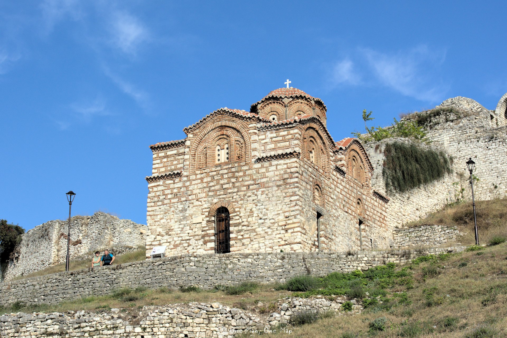
From the old Fortress Kalaja one has an excellent view on the mountains and on the Gorica quarter on the other side of the river.
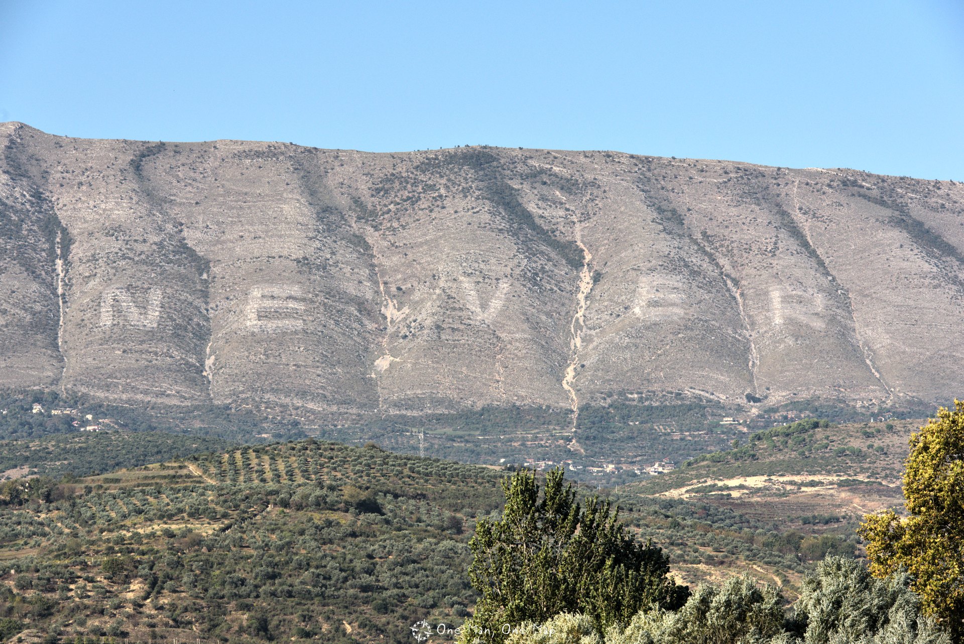
In 1968, a whole army of villagers spent ten days painting ENVER in 100-meter-high letters on Mount Shpirag in honor of dictator Enver Hoxha’s 60th birthday. After the collapse of the Communist regime, the army burned the much hated letters from the mountain with Napalm in 1994. But three years later faithful communists had restored them, and ENVER became a tourist attraction.
Of course this was hard to bear for the inhabitants of the region. In 2012 they finally swapped the first two letters and changed ENVER to NEVER. You can hardly say it more clearly, or hardly any bigger.
The Kalaja Fortress is simply huge. At the longest point the area measures 600 meters, at the widest almost 300 meters. The castle district consists of stone houses, museums, ruins, icons and buildings from different epochs with narrow paths inbetween. Eight churches and two mosques are located on the site.

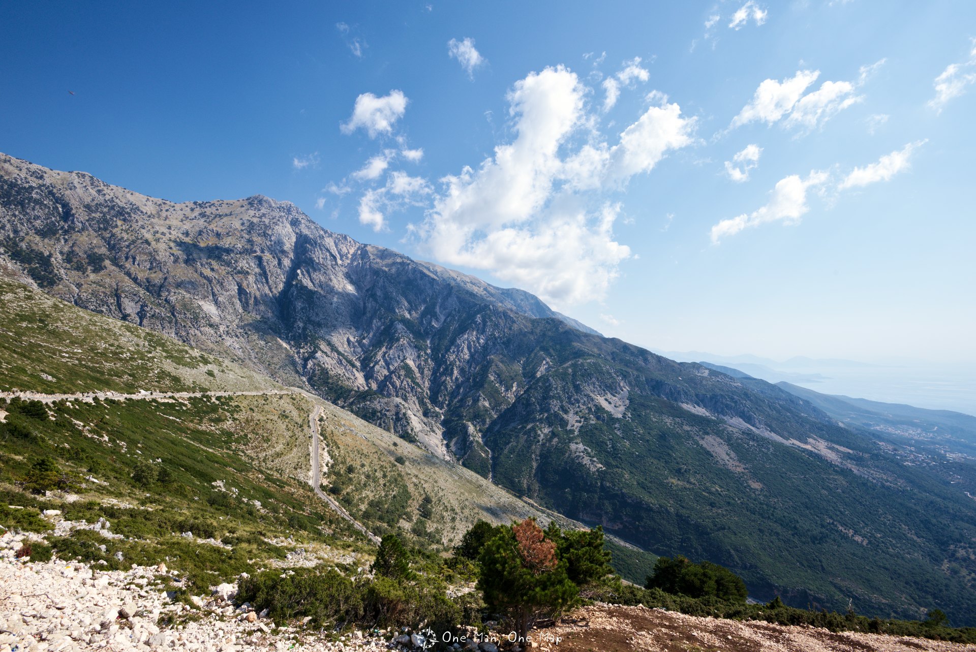
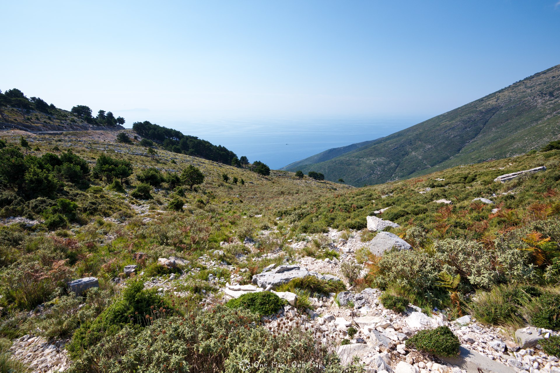
Over the Llogara Pass
If you want to reach Himarë and Sarandë coming from he North, you inevitably have to cross the 1000 meter high Llogara Pass between Orikum and Vlorë. You will already realize during the ascent from Orikum that the world is different here. Everything is much greener and lusher than in the North and East of the country. At some point you have finally made it, leave the dense forests behind, and suddenly the sea and coast open up in front of you. Simply breathtaking 🙂
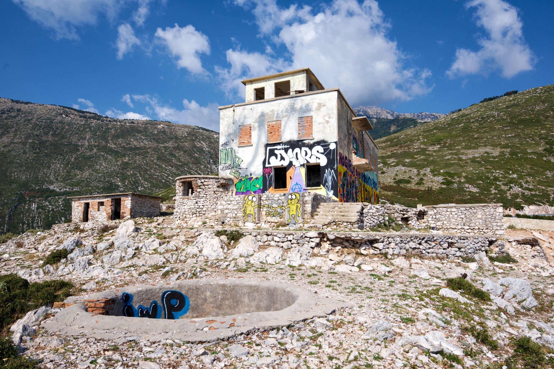
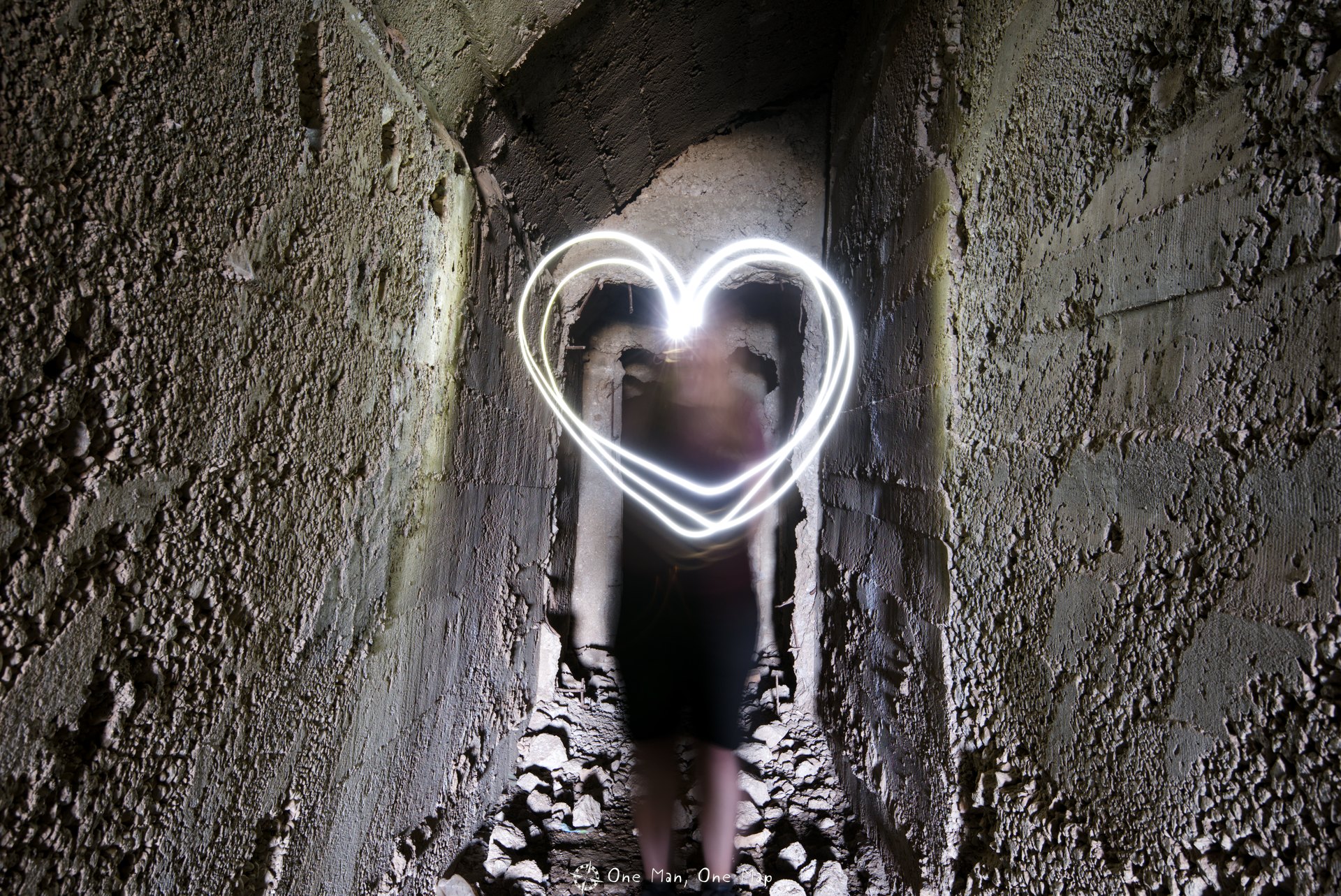
There is a fairly large bunker built during the regime of dictator Enver Hoxha below one of the road bends close to the pass. Urban Explorers can find more information about Albanias Bunkers here.
Along the coast
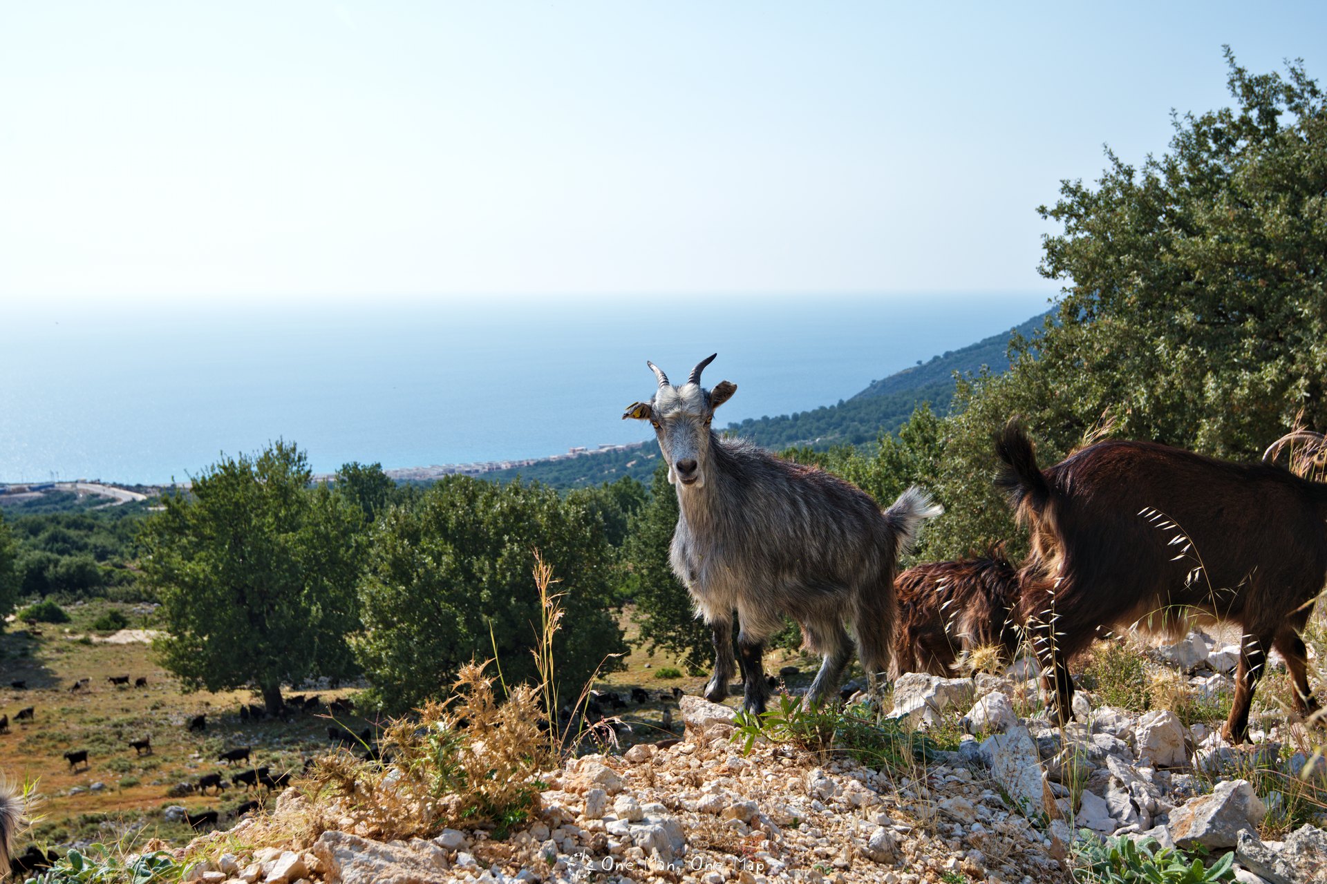
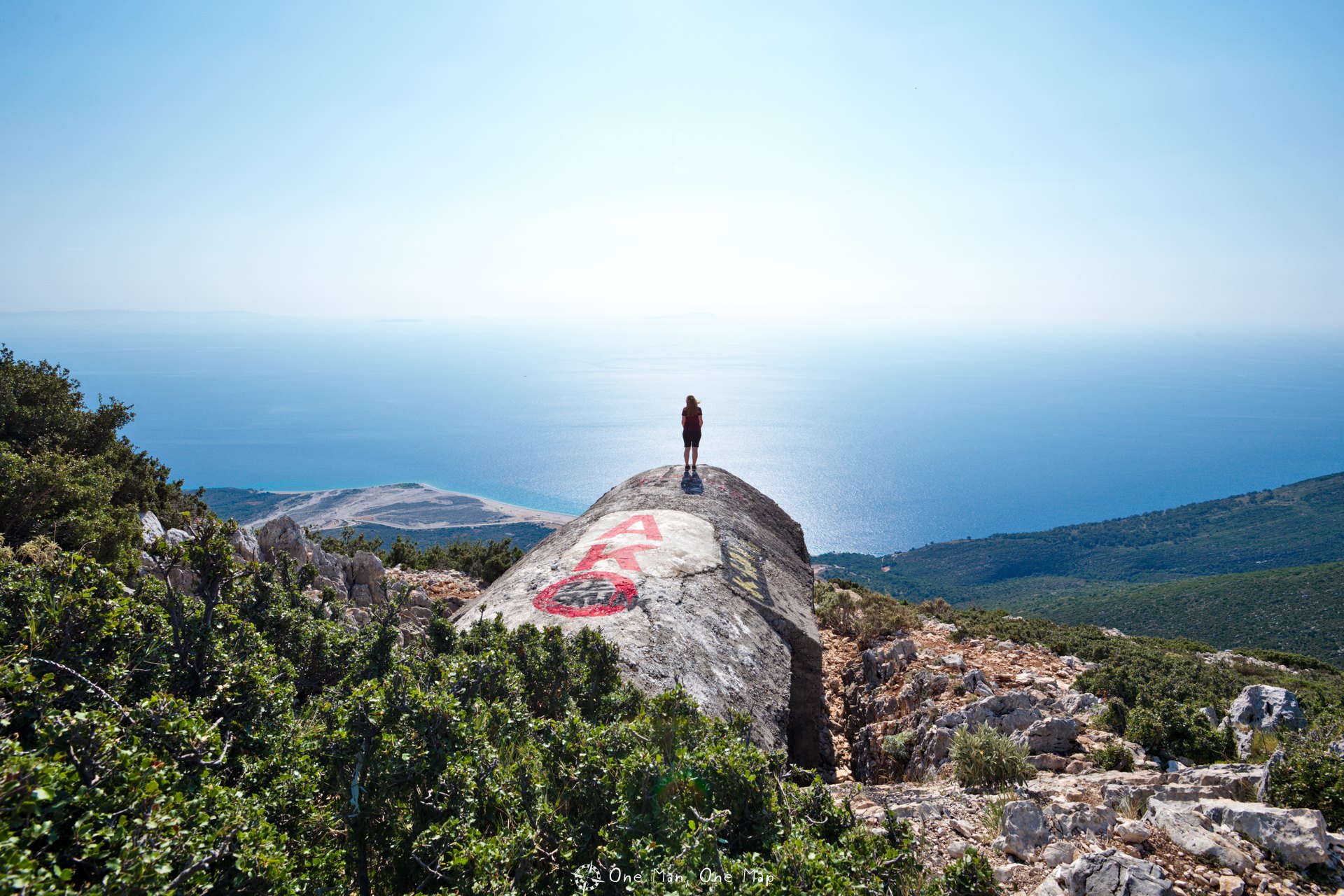
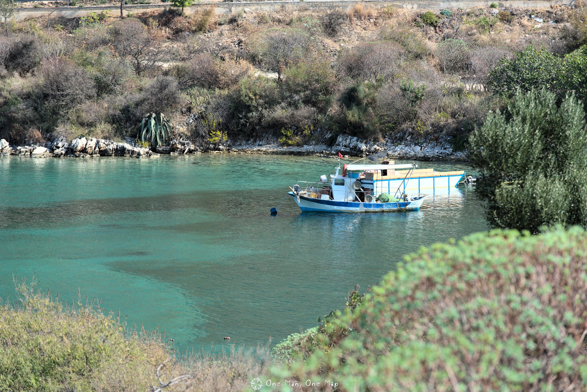
The coastal road stretches for about 70 kilometers between the Llogara Pass and Lukove. It doesn’t really matter where you settle down, the view is always fantastic. We rented an apartment in Himarë and spent three days exploring the area from there.
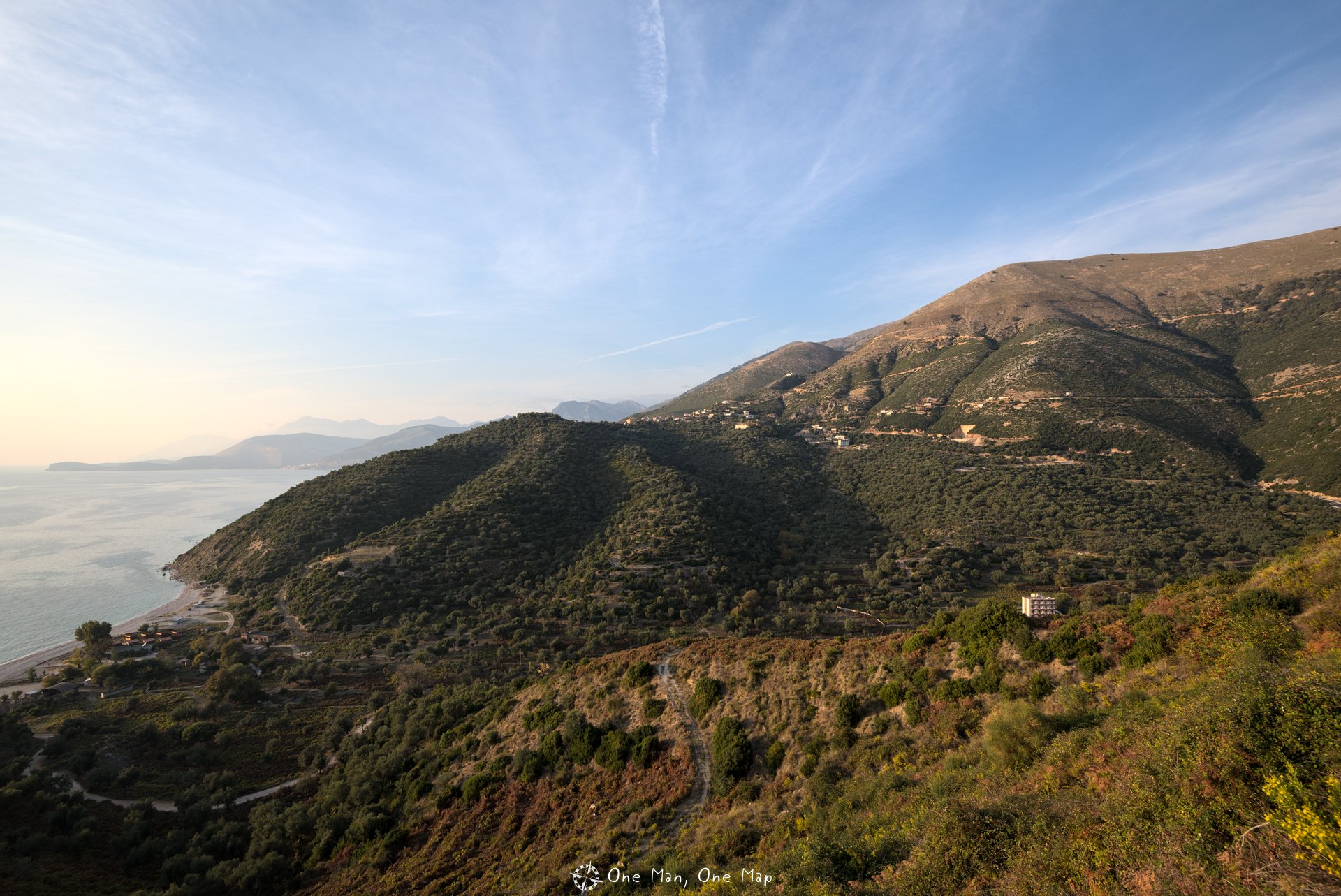
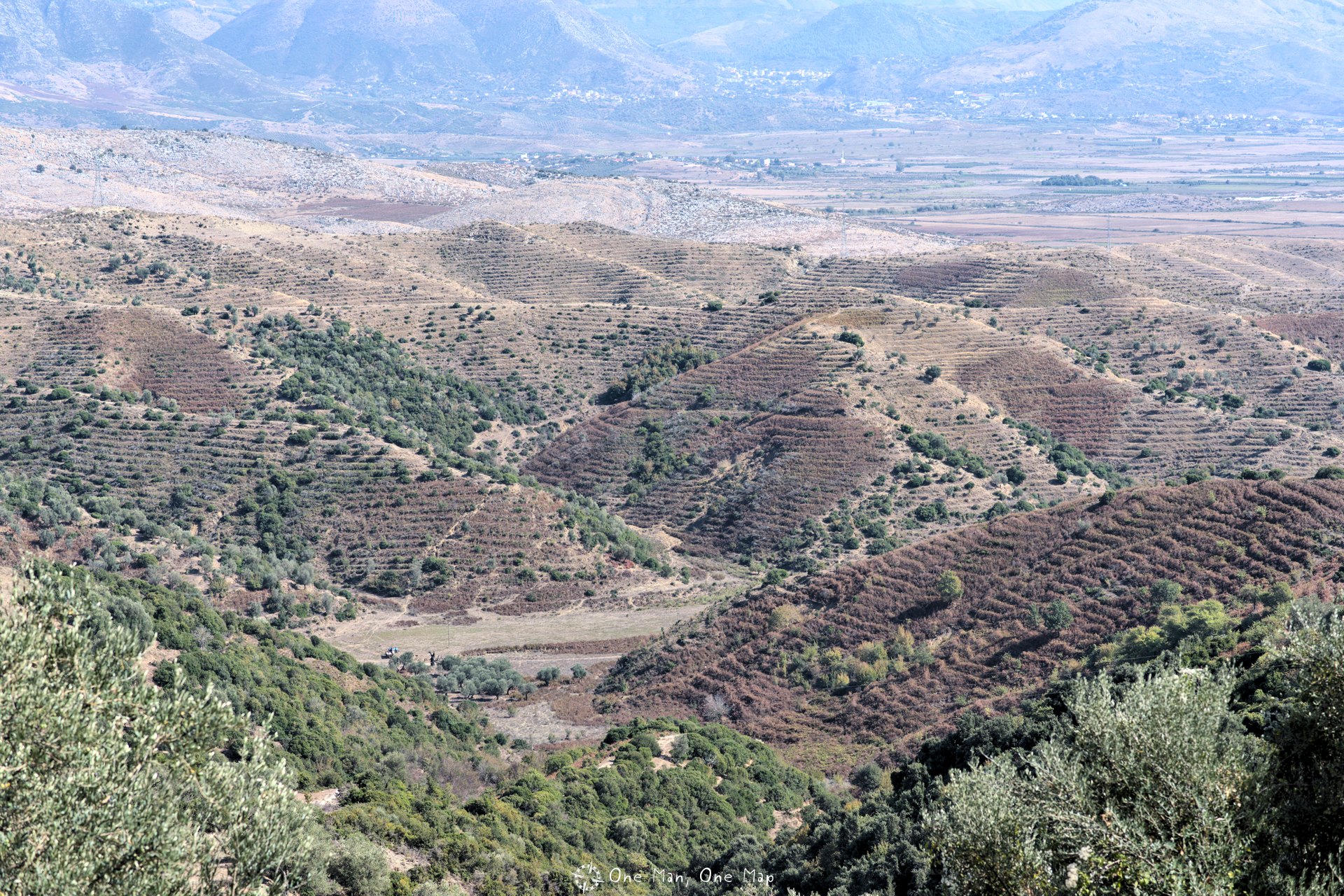
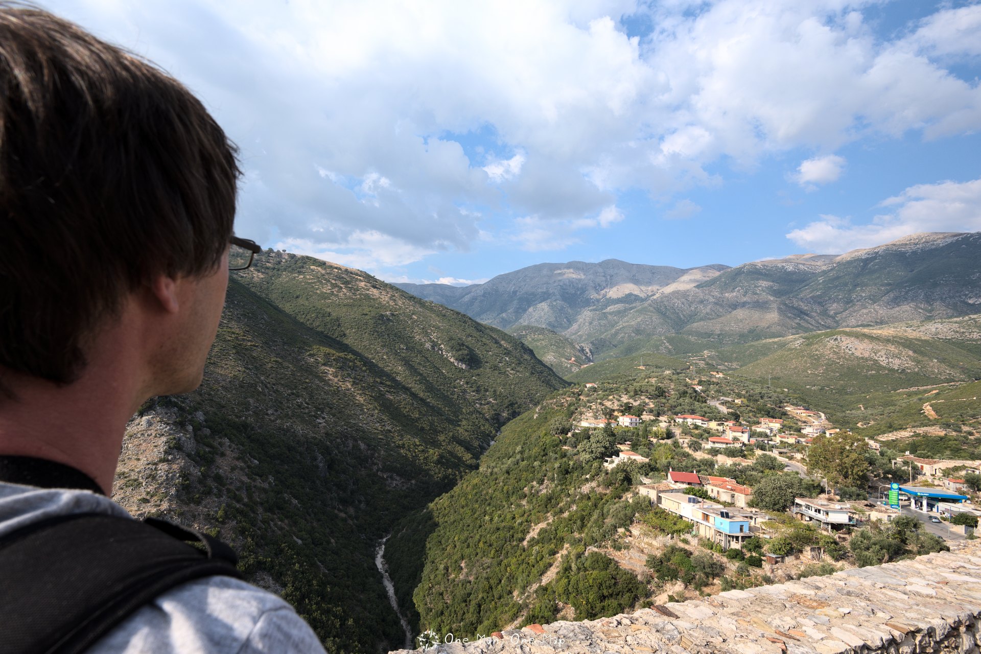
Between Lukovë and Sarandë, the SH-8 main road leads through the hinterland for a short while because the 802 meter high Maja Shëndëlliut mountain stands in the way. The farmers’ terraces neatly dug into the slopes of the hills make the whole area look like a futuristic city from the future.
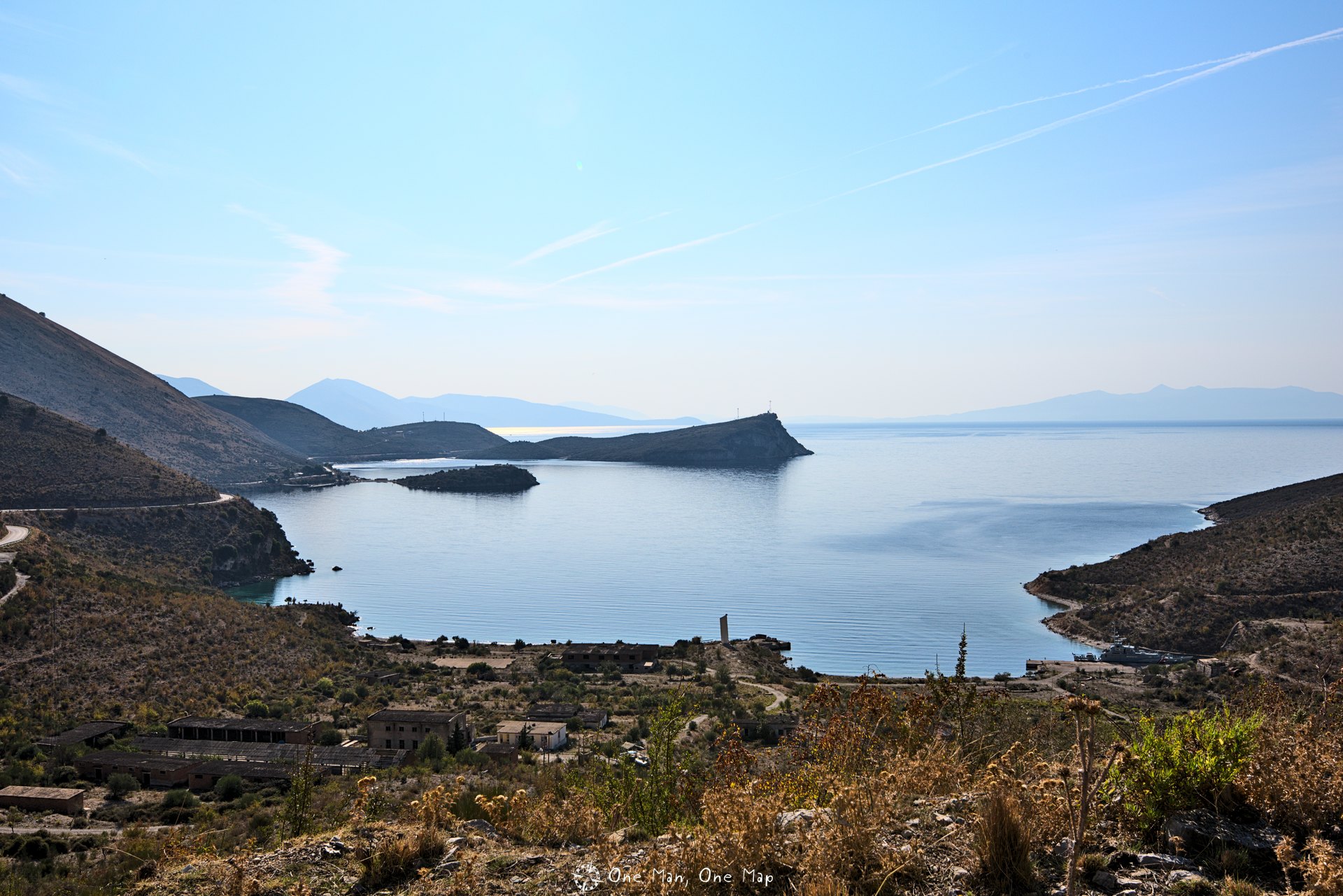
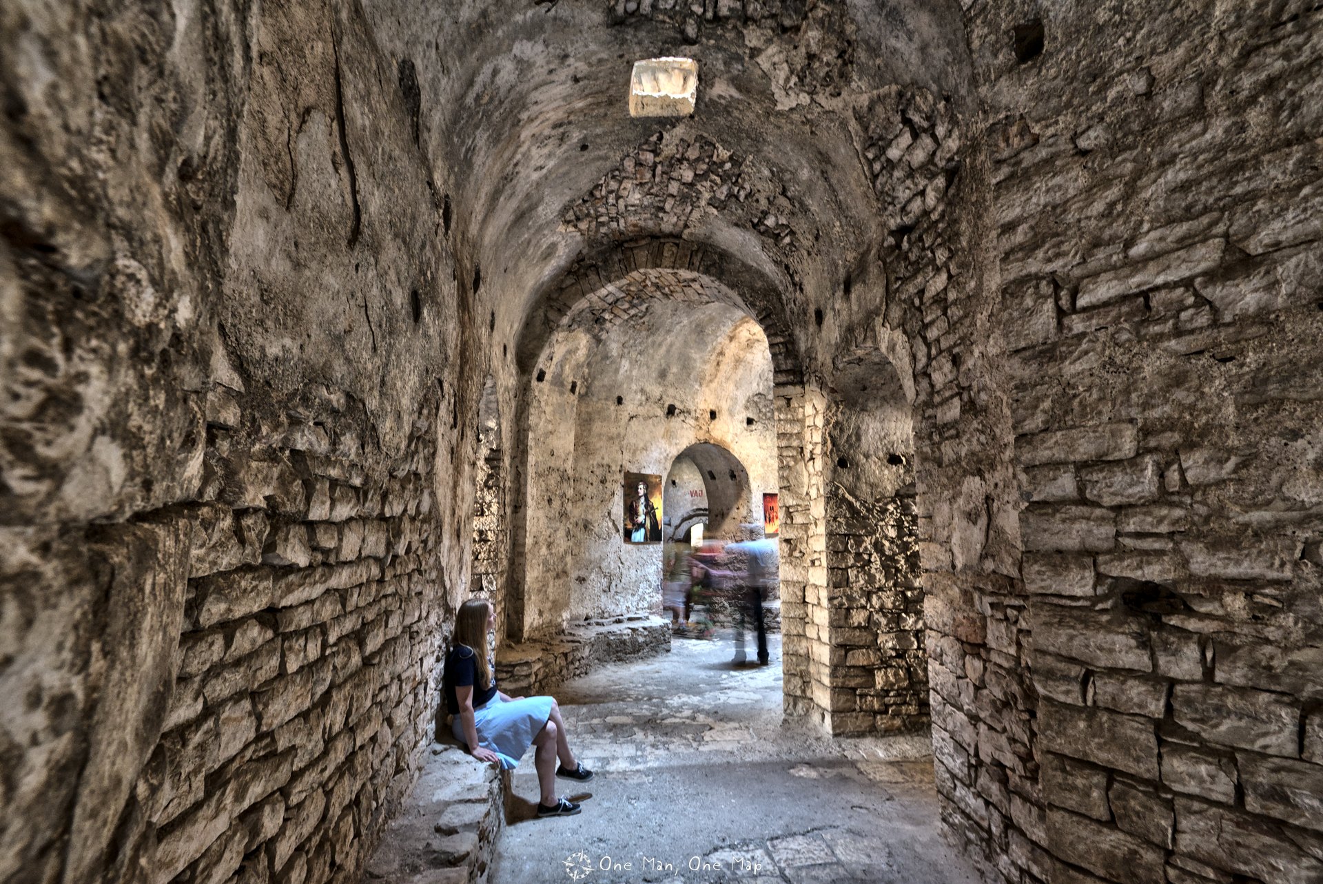
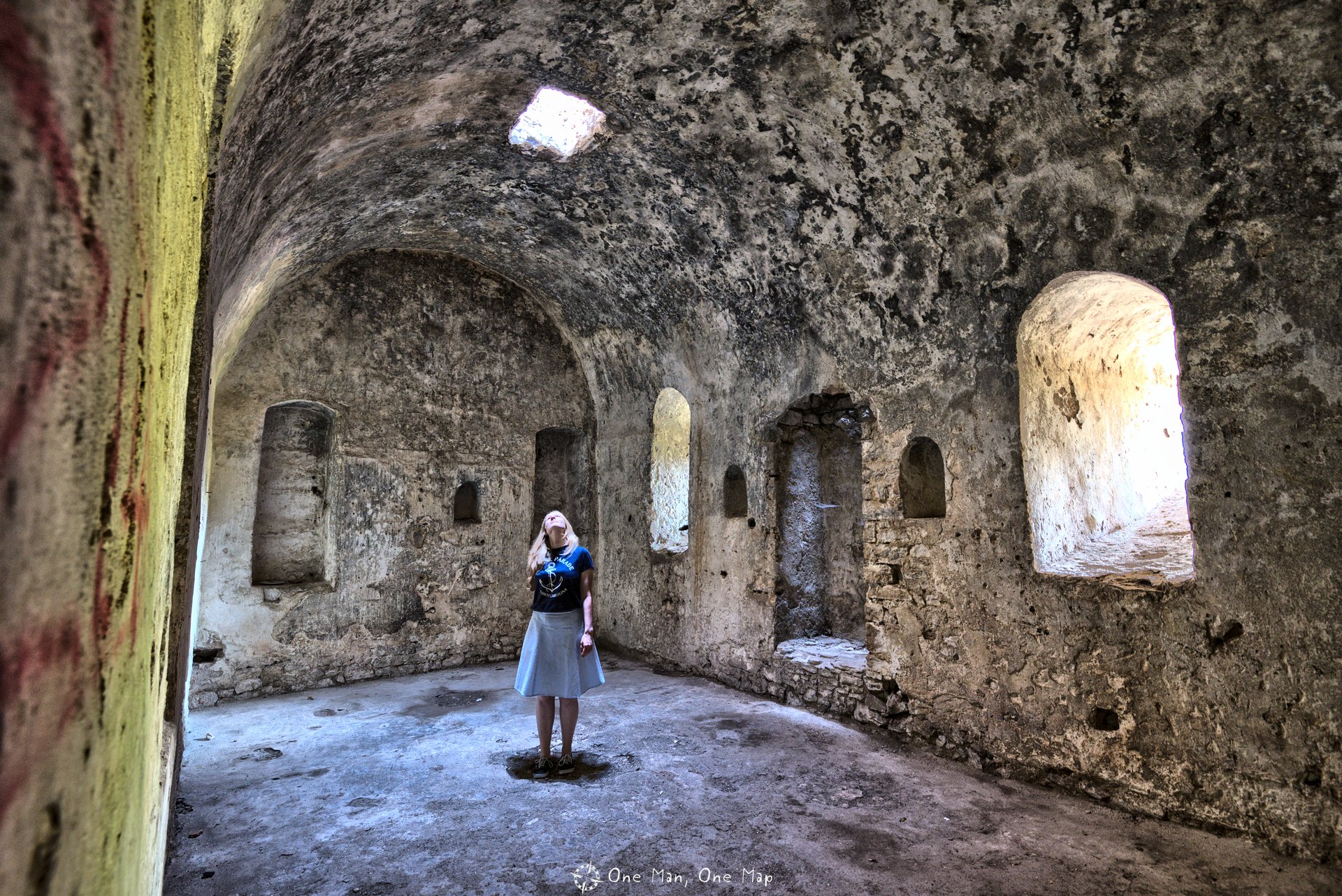
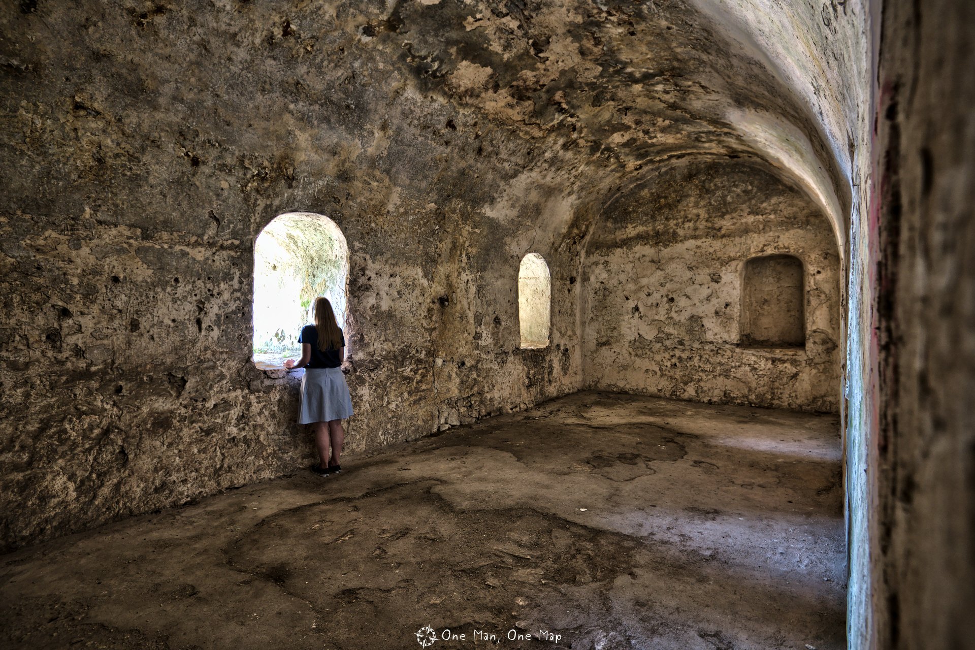
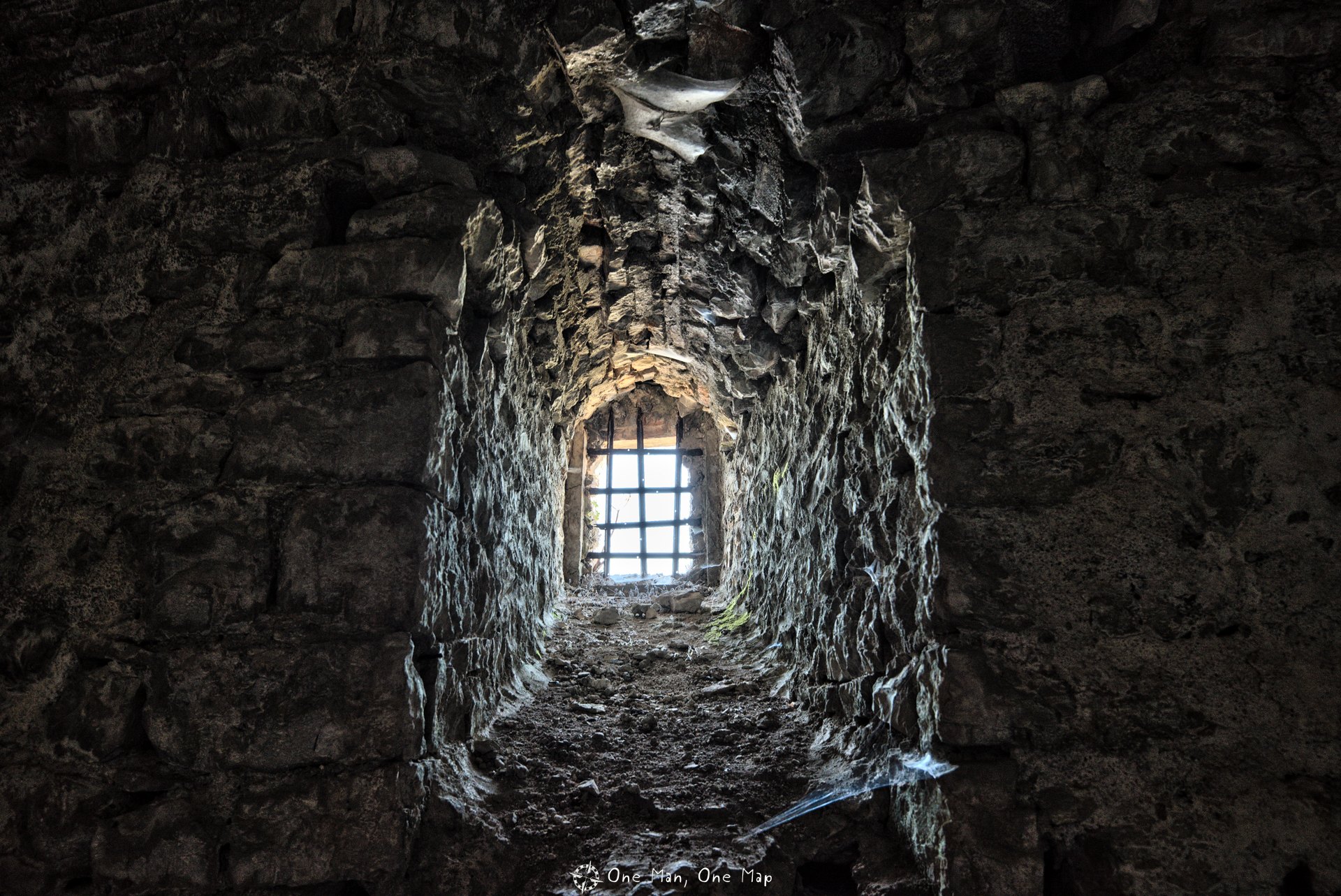
The Old Fortress of Porto Palermo
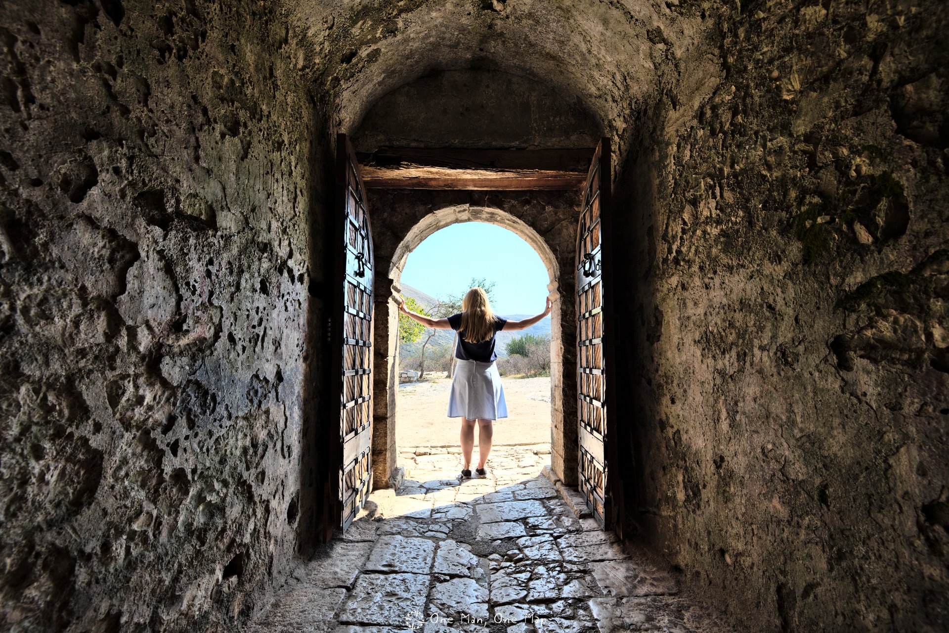
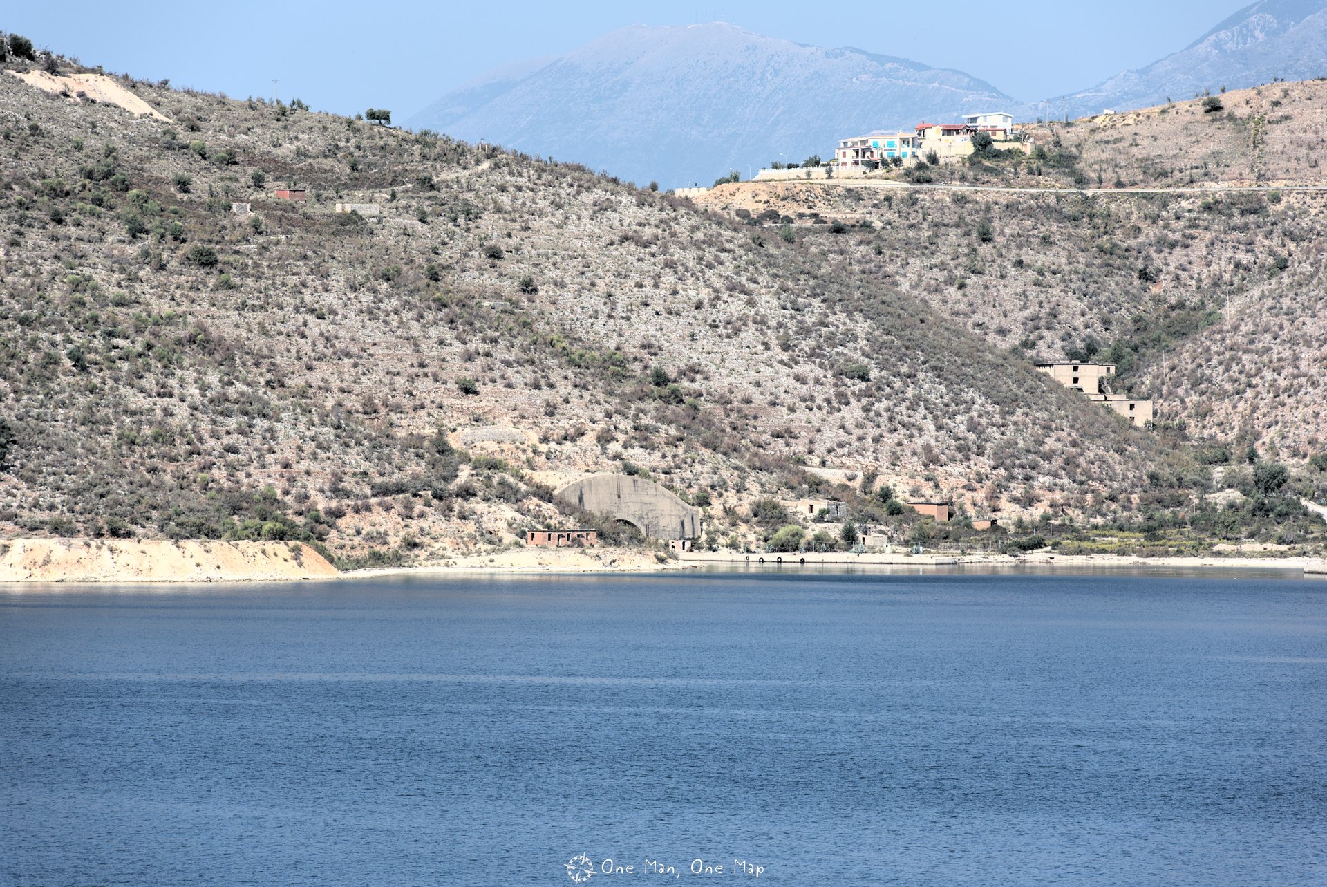
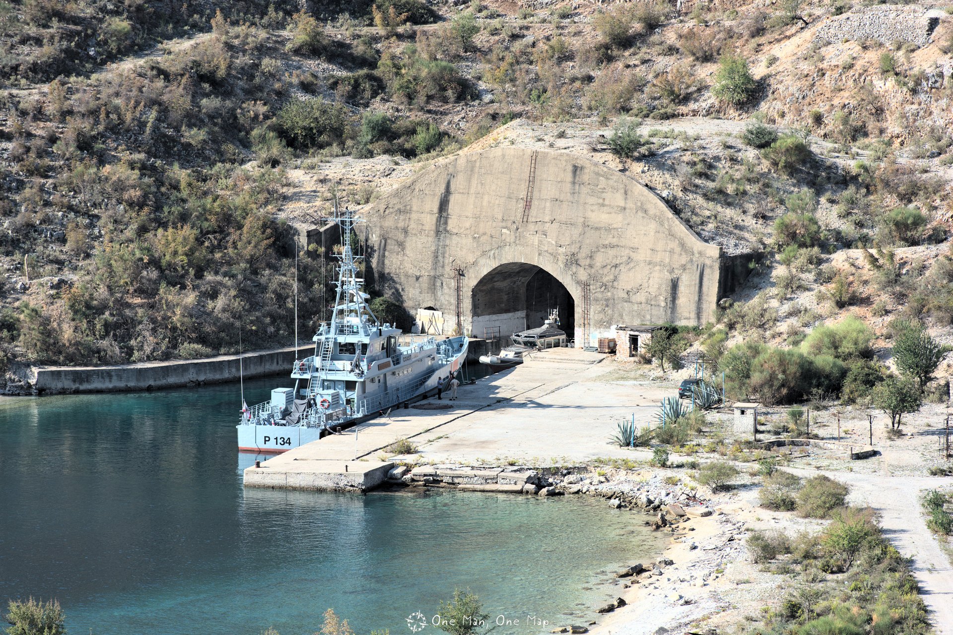
Probably the biggest tourist attraction along the south coast – aside from the beaches – is the old fortress of Porto Palermo (Kalaja e Porto Palermos). It is located on a small peninsula in the bay of Porto Palermo and was formerly part of the military facility on the other side of the bay. Who built the fortress is still not very clear. But it is certain that it was used and modernized by the Turks in 1662 to control the insurgent population in the region.
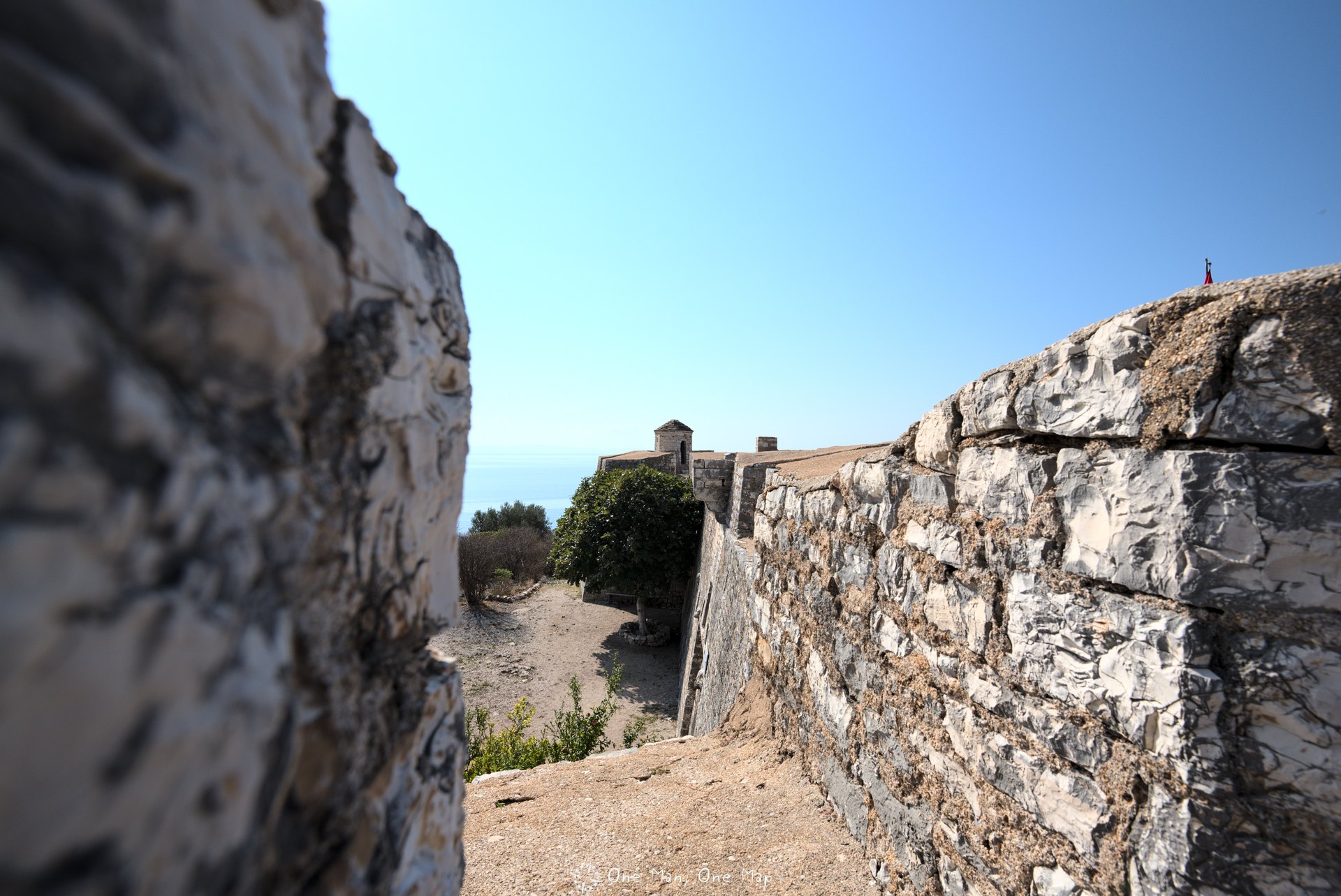
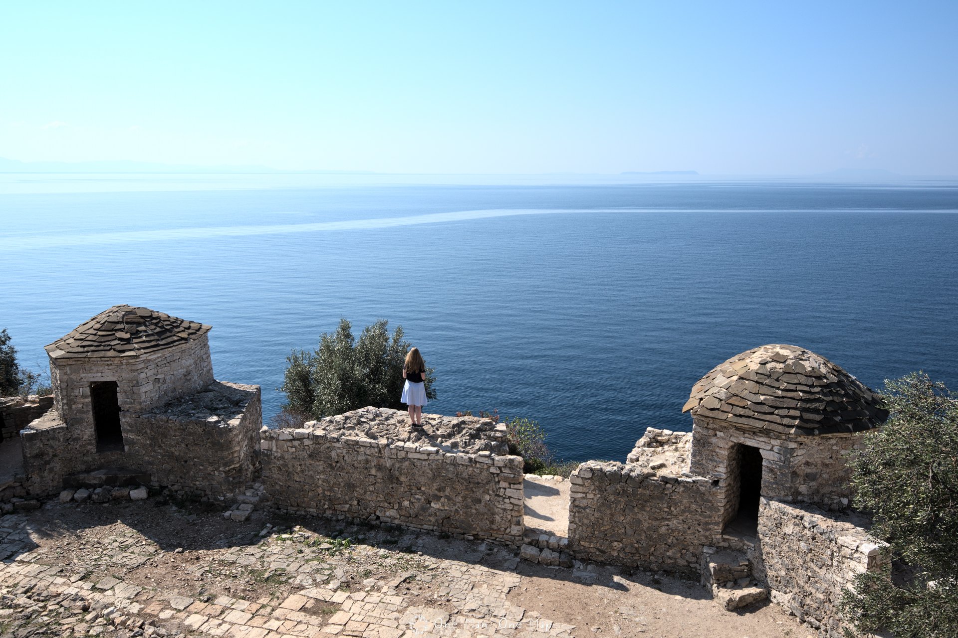
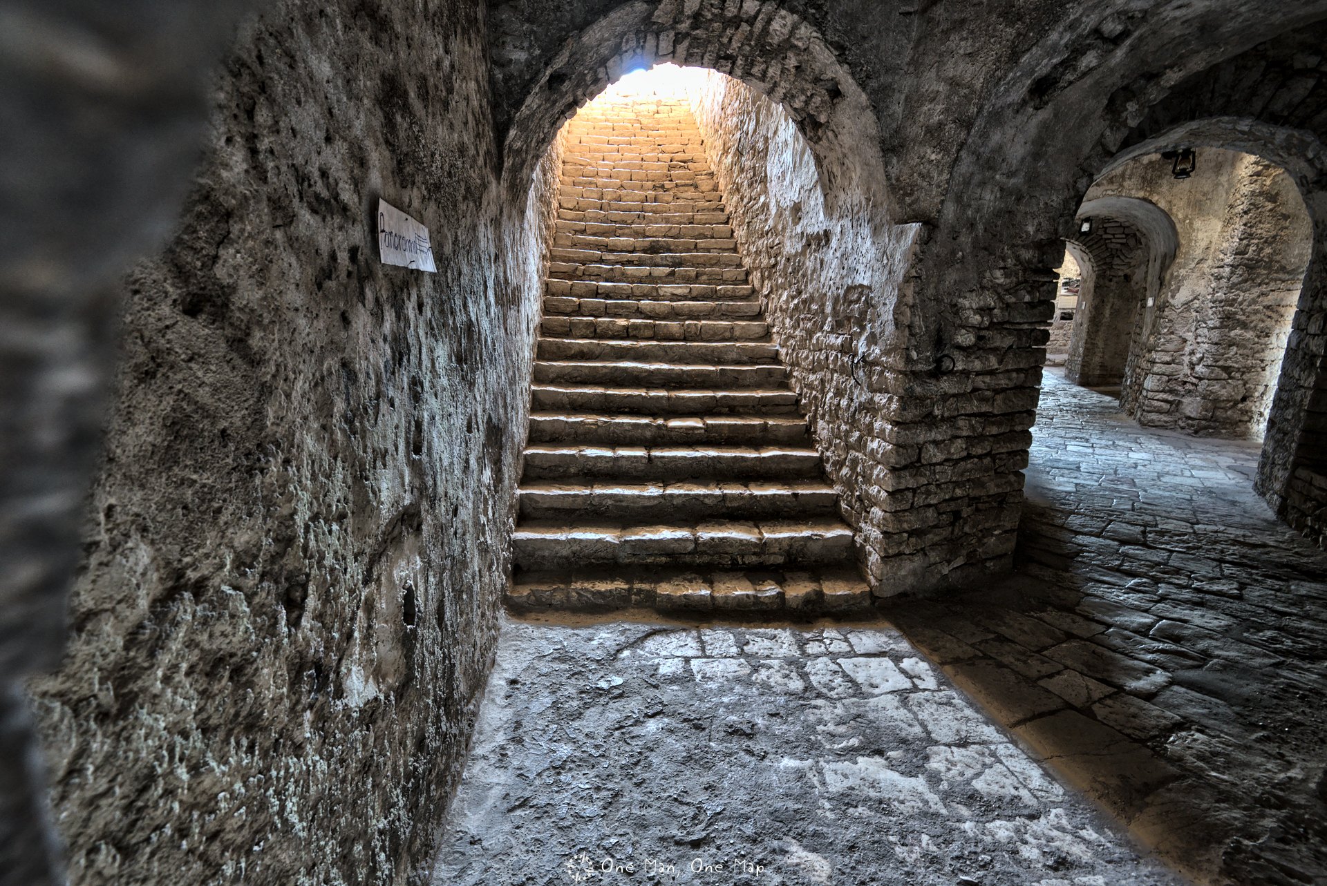
The insides of the fortress offer lots of beautiful perspectives for photographers. In theory the admission fee is 100 Lek (about 80 Euro-Cents). Depending on the time of day, someone is waiting in front of the entrance and collects the money – or not. Allegedly sometimes a local waits in front of the door when the official gatekeeper is not there, collects 200 Lek and puts them into his own pocket 😉
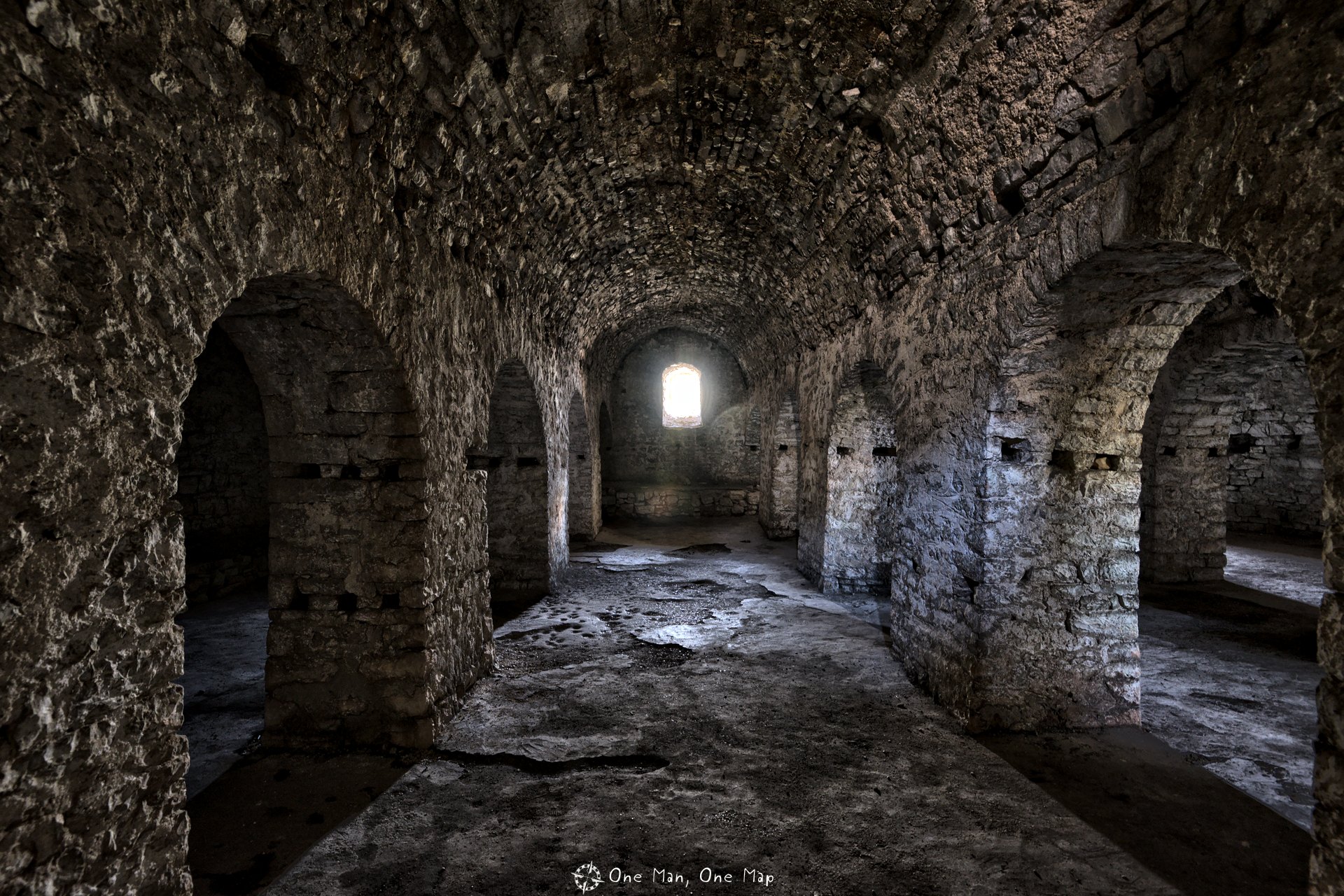
Porto Palermo was an important military base during the reign of Enver Hoxha. Between 1955 and 1968, the Soviet Union stationed a total of twelve Russian Whiskey Class submarines at Vlorë. After Albanias withdrawal from the Warsaw Pact, Hoxha appropriated the four submarines which had been sailing with Albanian crews and stationed them in Porto Palermo.
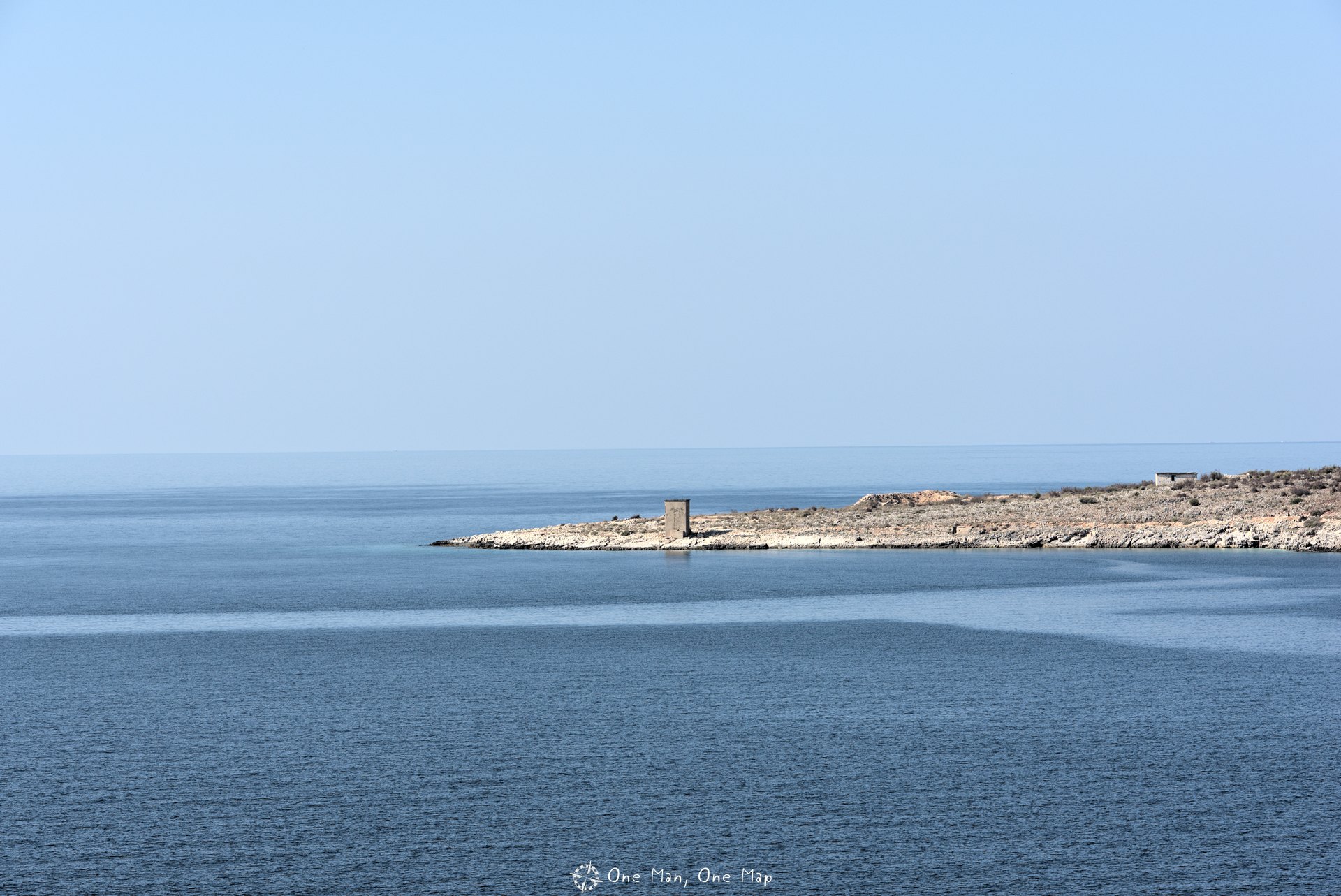
To be able to leave the sheltered bay in the event of a blockade, a 650 meter long and 12 meter high submarine tunnel was constructed. The four submarines all fit inside one after the other. The outer tunnel entrance was not visible from the sea.
More information about the Albanian bunkers can be found here.
The old Castle of Himarë
The old Castle of Himarë (Kalaja e Himarës) is located in Kastro, the old town of Himarë, about two kilometers from today’s city center. The castle itself is not in a very good condition, but one should not miss the great view from a hill between two valleys.
 +
+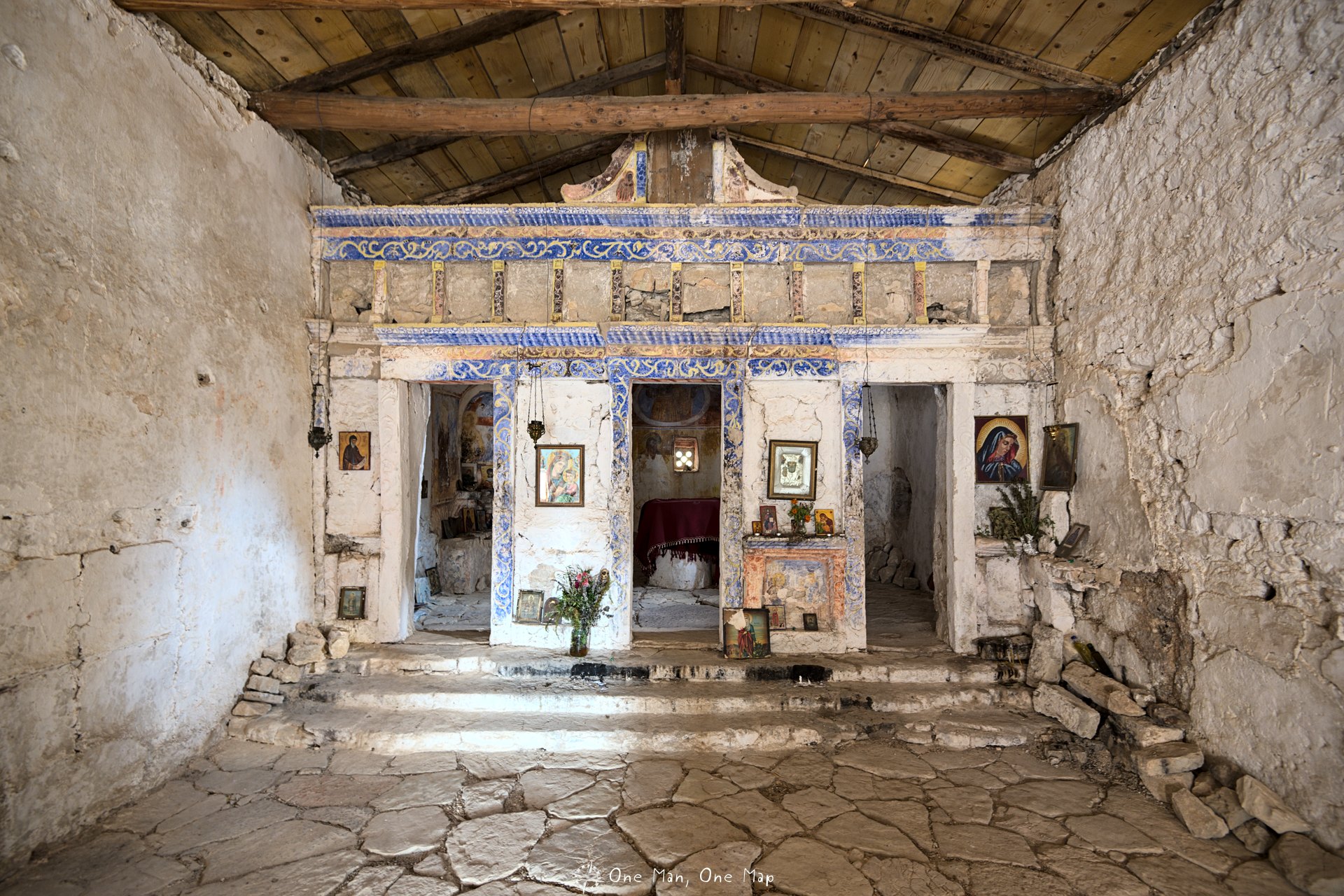
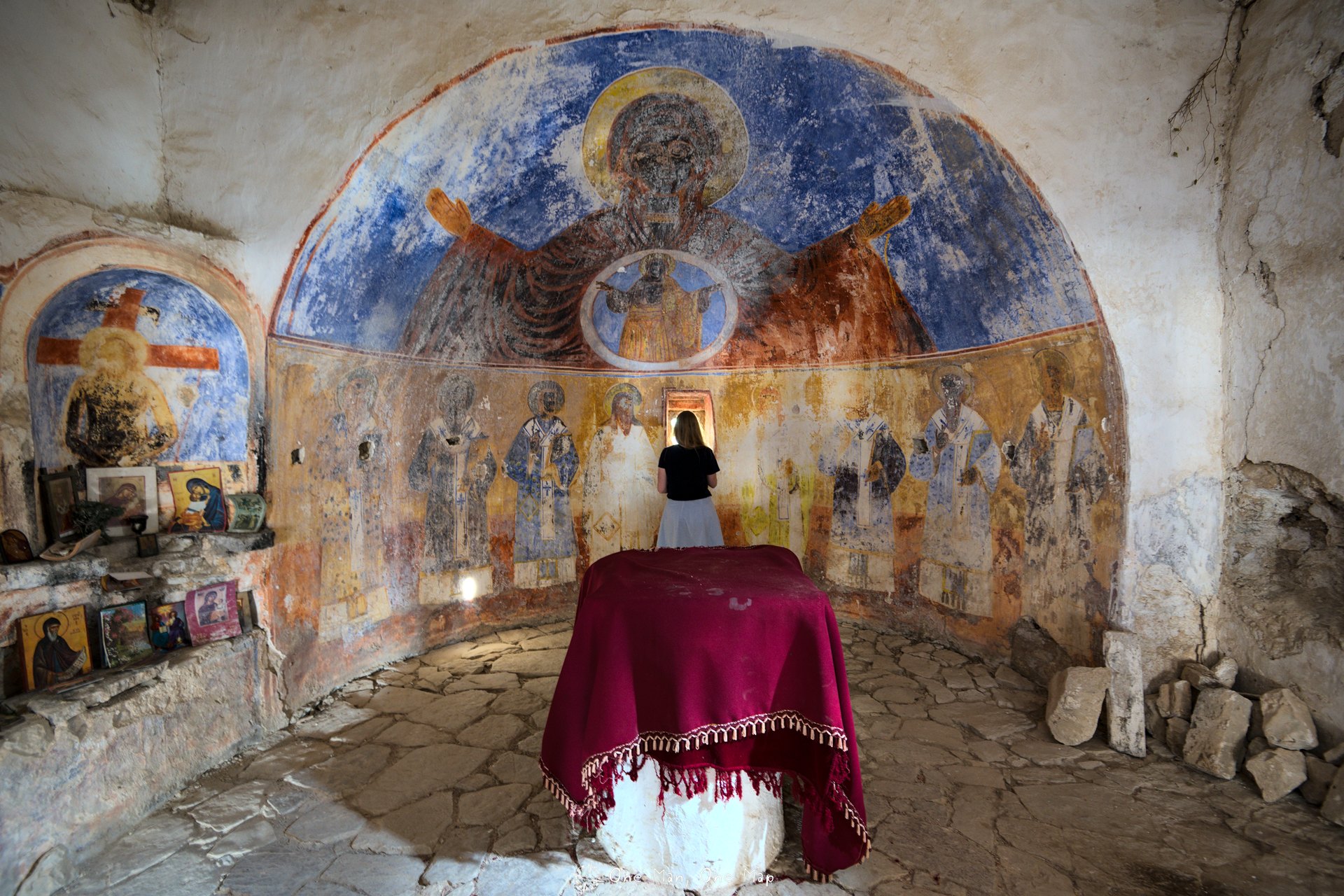
There are a number of sanctuaries within the walls of the castle. Among them is a small Episcopal church which was built on the ruins of a temple dedicated to the Greek god Apollo.
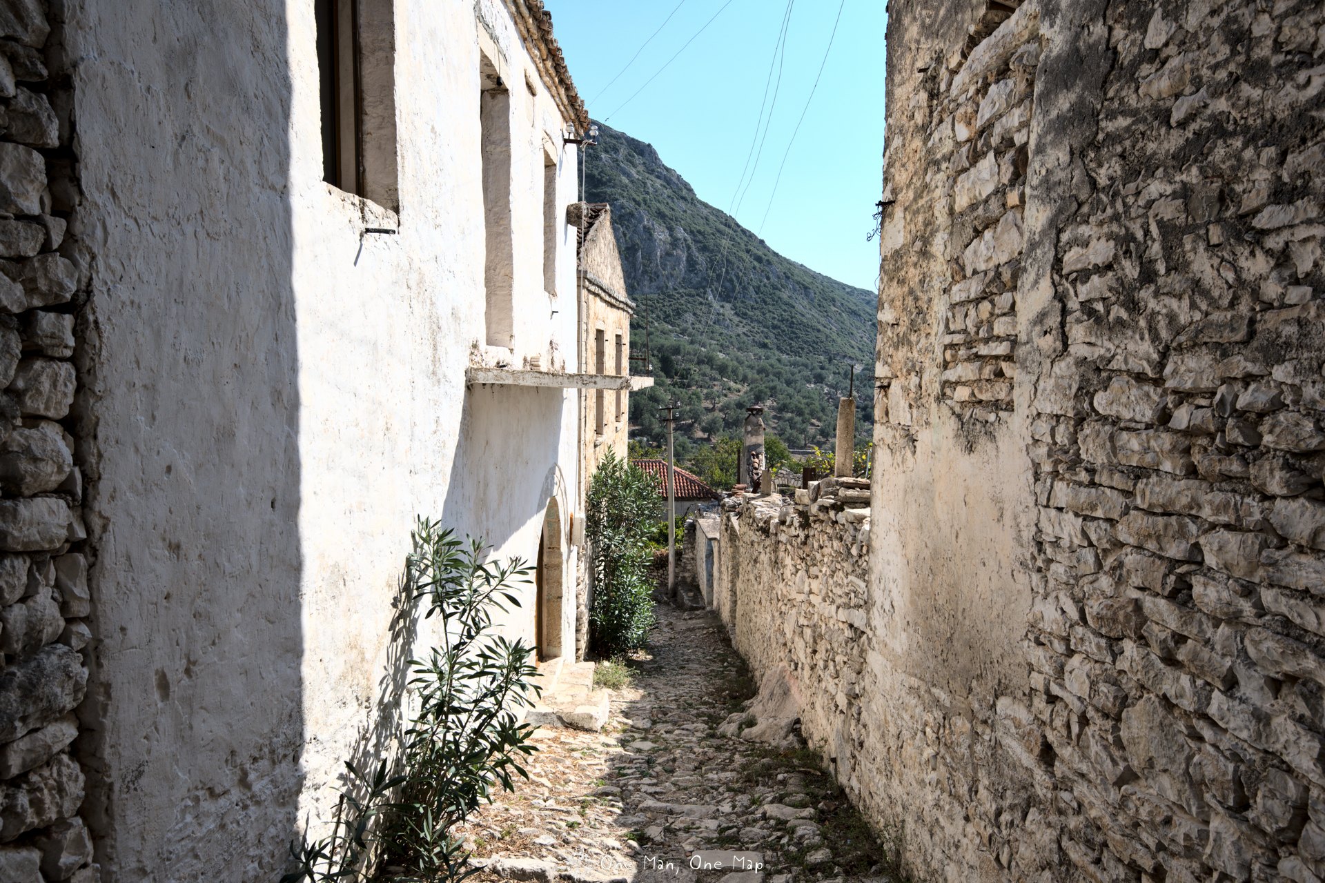
Old Qeparo
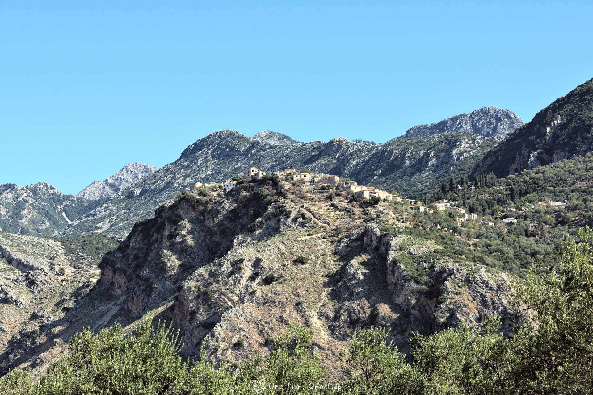
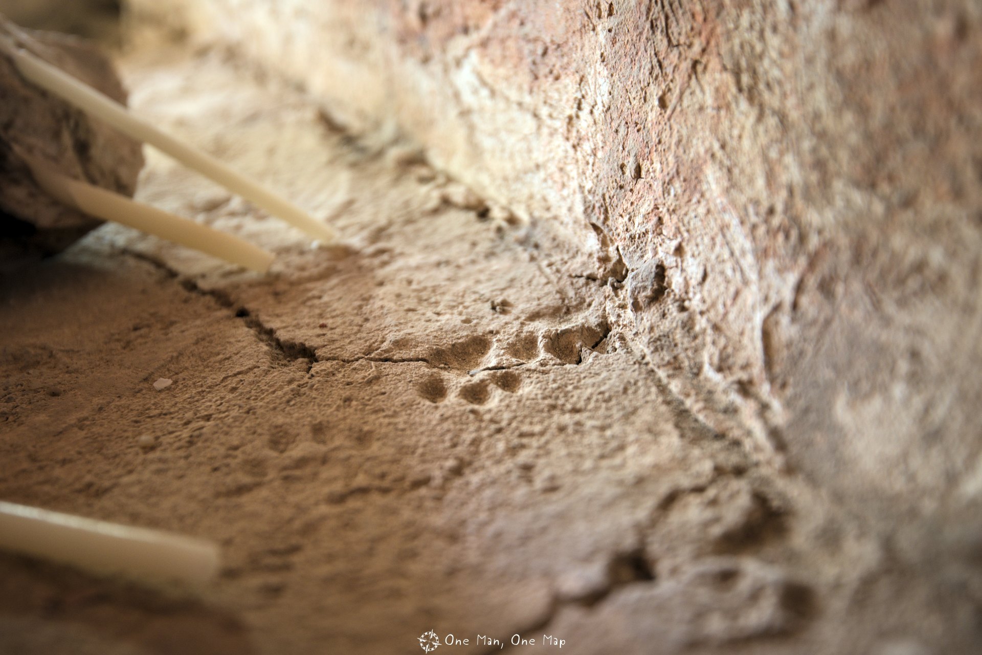
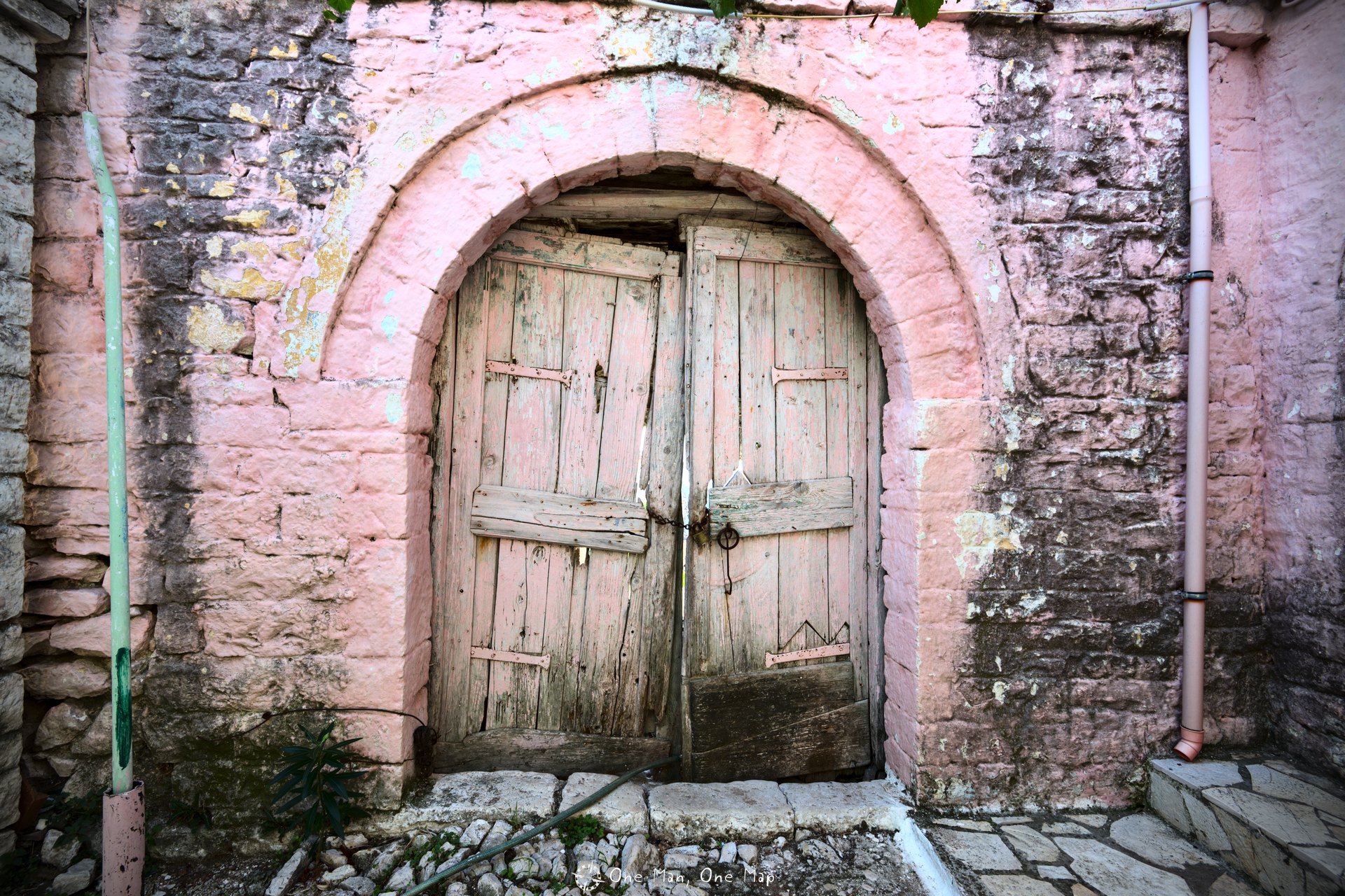
Himarë is not the only place with an old and a new town center. In Qeparo people gradually settled further down in the valley too, to be closer to their fields and to escape the coldness of the mountains. In 1957 the village was divided into the old part (Qeparoi i Sipërm) and the new part, and the old part was slowly abandoned.
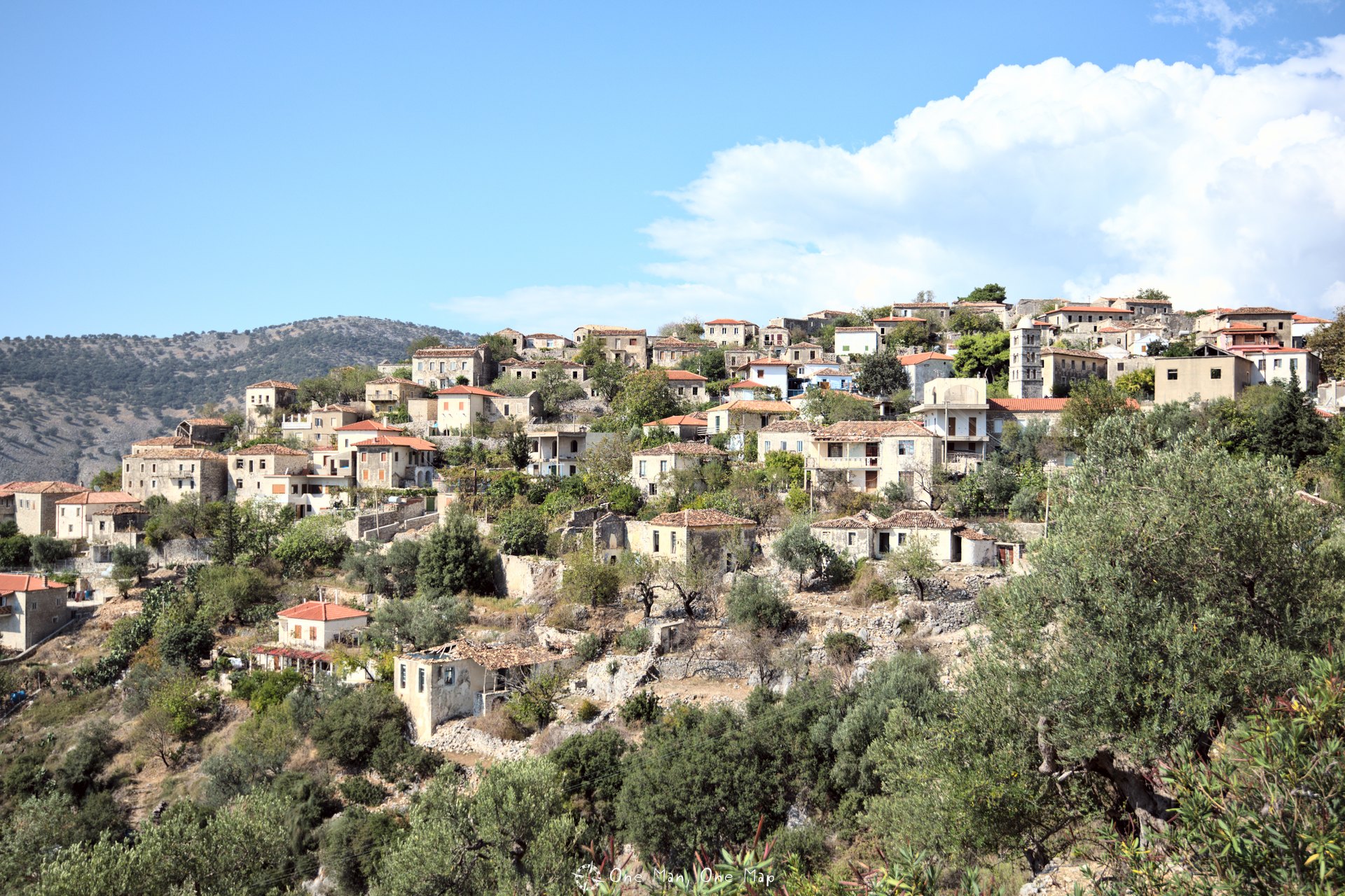
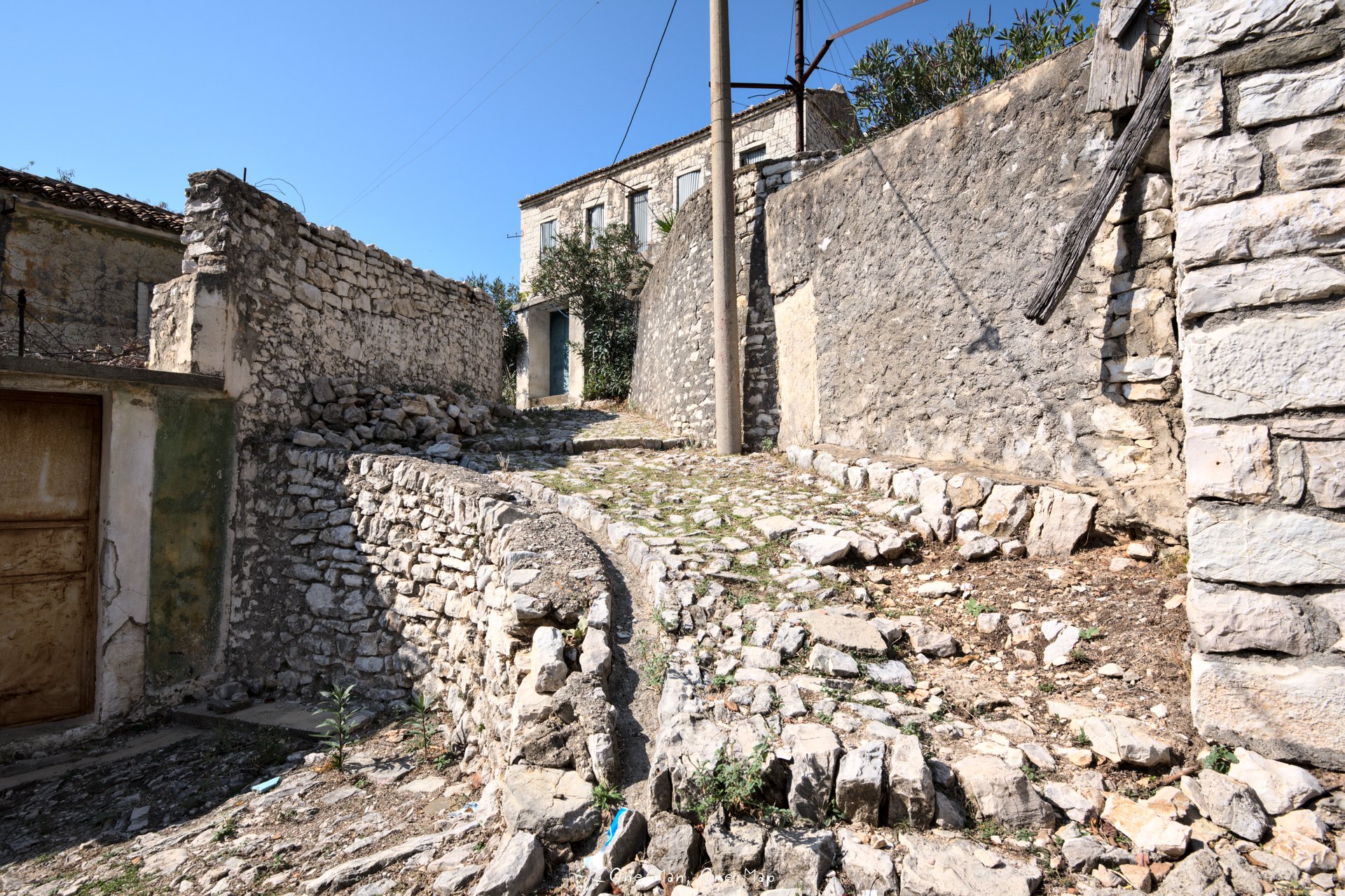
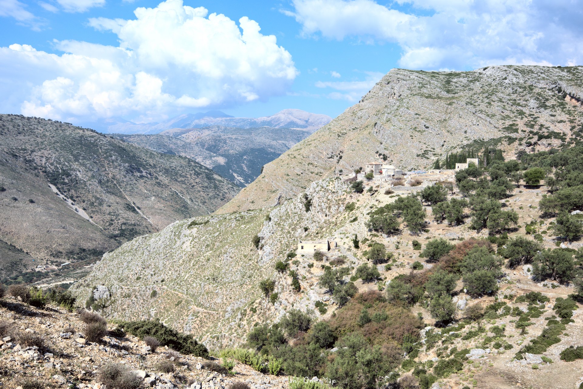
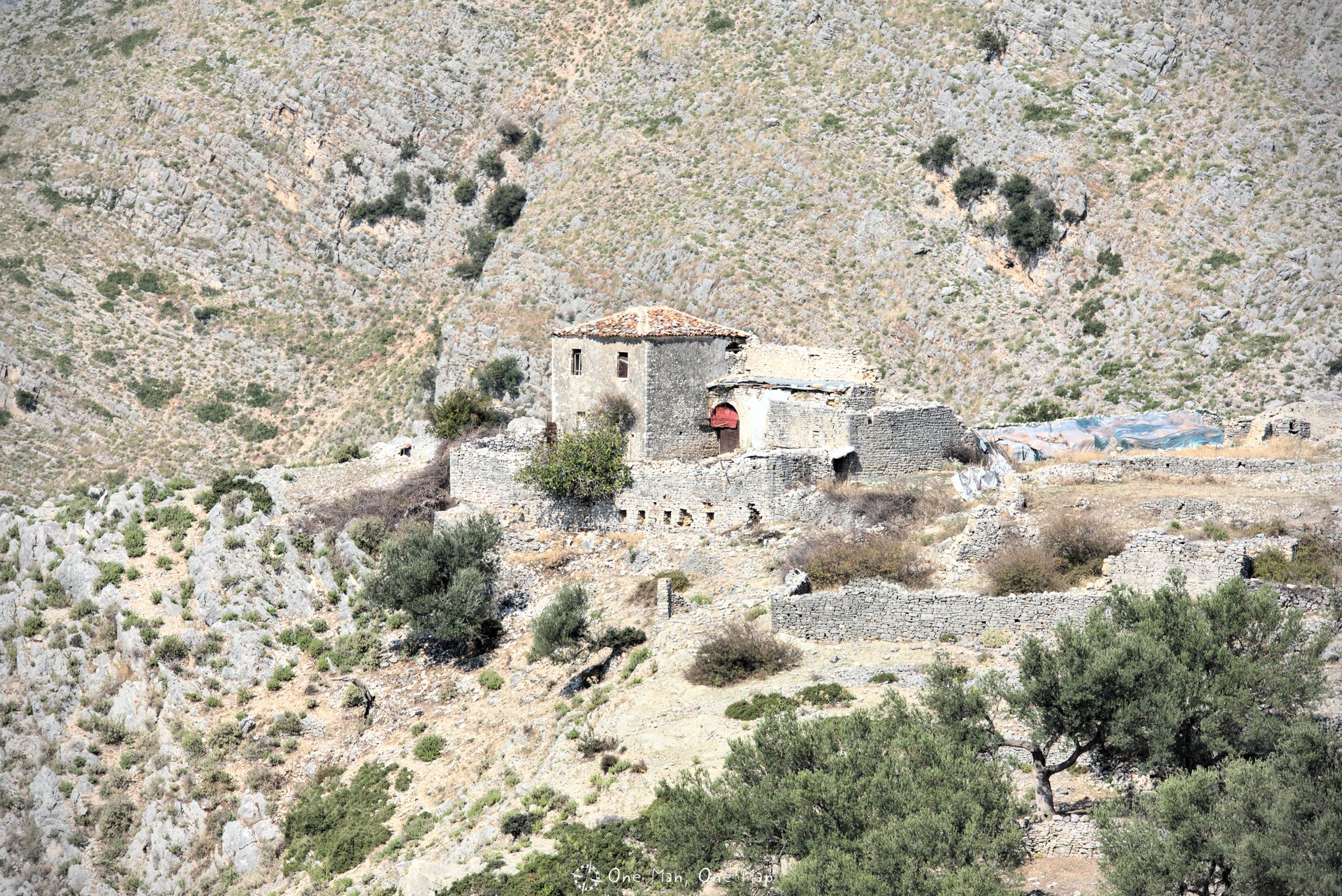
Today old Qeparo is a ghost town. Only very few houses on the edge of the settlement are still inhabited, the rest is left to decay.
From the southern side one has an excellent view of the surrounding mountains. From here you can also hike the 5 kilometers to the village of Kudhës further back in the valley.
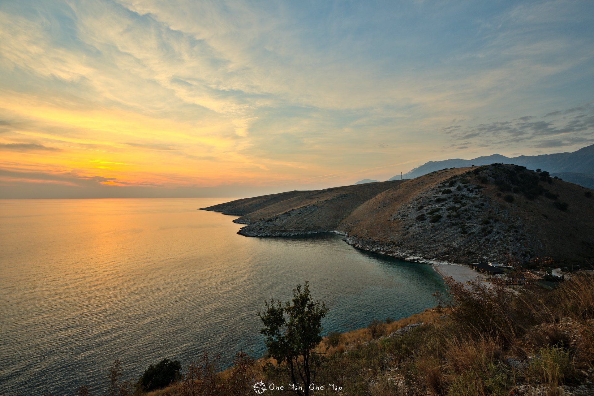
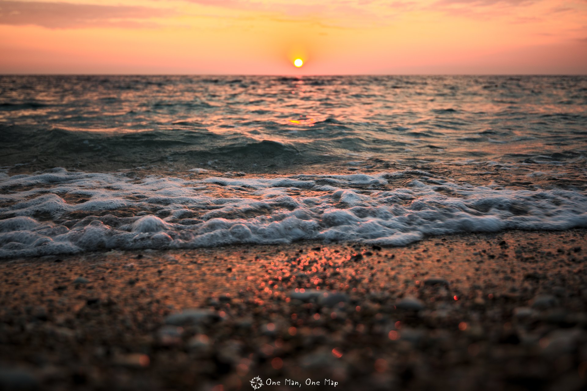
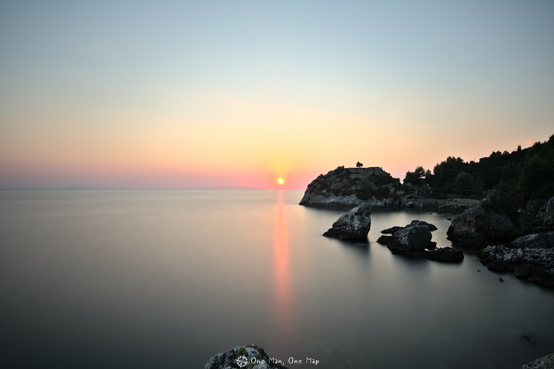
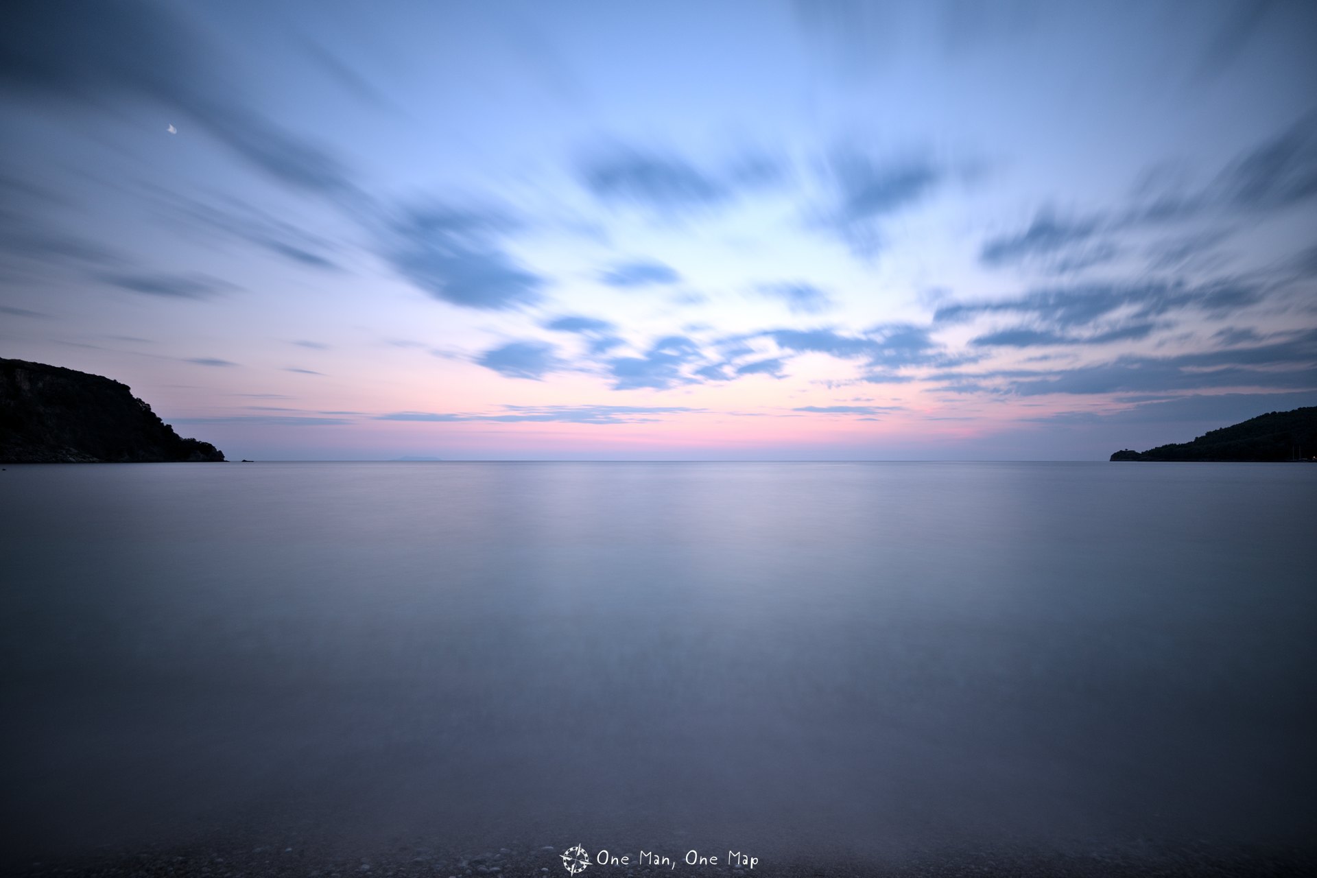
Beaches and sunsets
I’m not a beach person, but I’m always up for a great sunset. And there was clearly no shortage of them in Southern Albania. Along almost the entire coast you have a good view towards the West and thus on the setting sun.
The next post will be about a whole abandoned railway line, including a locomotive graveyard with 15 locomotives… 🙂
This post was written by Simon for One Man, One Map. The original can be found here. All rights reserved.