| Roca Corbatera via Santa Cueva | |||
| Gebiet | Montsant mountain range, Catalonia, Spain | ||
| Start | La Morera de Montsant | ||
| End | La Morera de Montsant | ||
| Distance | 13 km | Duration | 6 hours |
| Ascent | 612 meters | Descent | 612 meters |
| Medium difficulty Spring Summer Fall | |||
Dieser Artikel ist auch auf Deutsch verfügbar. Click here to find out more about Spain!
The Montsant mountain range, one of the many mountain ranges in Catalonia, is located deep in the hinterland of Tarragona. The path to the highest peak, the 1,163 metre high Roca Corbatera, leads through steep gorges and over rock walls to a protected national park on a mountain ridge. Shortly before the summit there even is an amazingly deep cave which can be explored freely, the Cueva Santa.
The mountain range is about 17 kilometres long and located about 50 kilometres north-west of Tarragona. In contrast to the Montserrat mountains, it does not rise out of the flat land all alone, but is surrounded by other hiking and climbing areas like the Muntanyes de Prades, Siurana, Margalef, the Estrets d’Arnes and the Parc Natural dels Ports national park.
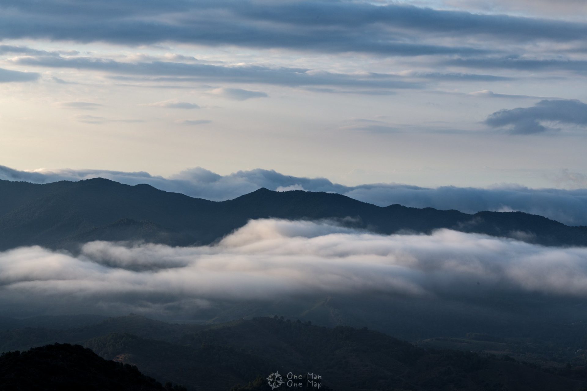
The ascent to Roca Corbatera does not make a good day trip from Tarragona or Barcelona during the warmer months. You have to start the hike very early and be back down in the valley before the sun starts burning down mercilessly at noon. We stayed in an apartment in nearby Arbolí in August and arrived La Morera de Montsant at sunrise. The view during the drive to La Morera was already breathtaking.
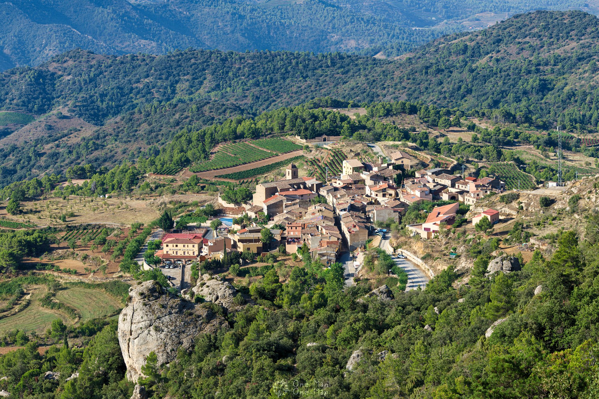
La Morera de Montsant is a small village with typical red stone houses and a rather large church. Right at the entrance of the village there is a public, free parking space for hikers. The hiking trails start a few hundred metres above the village.
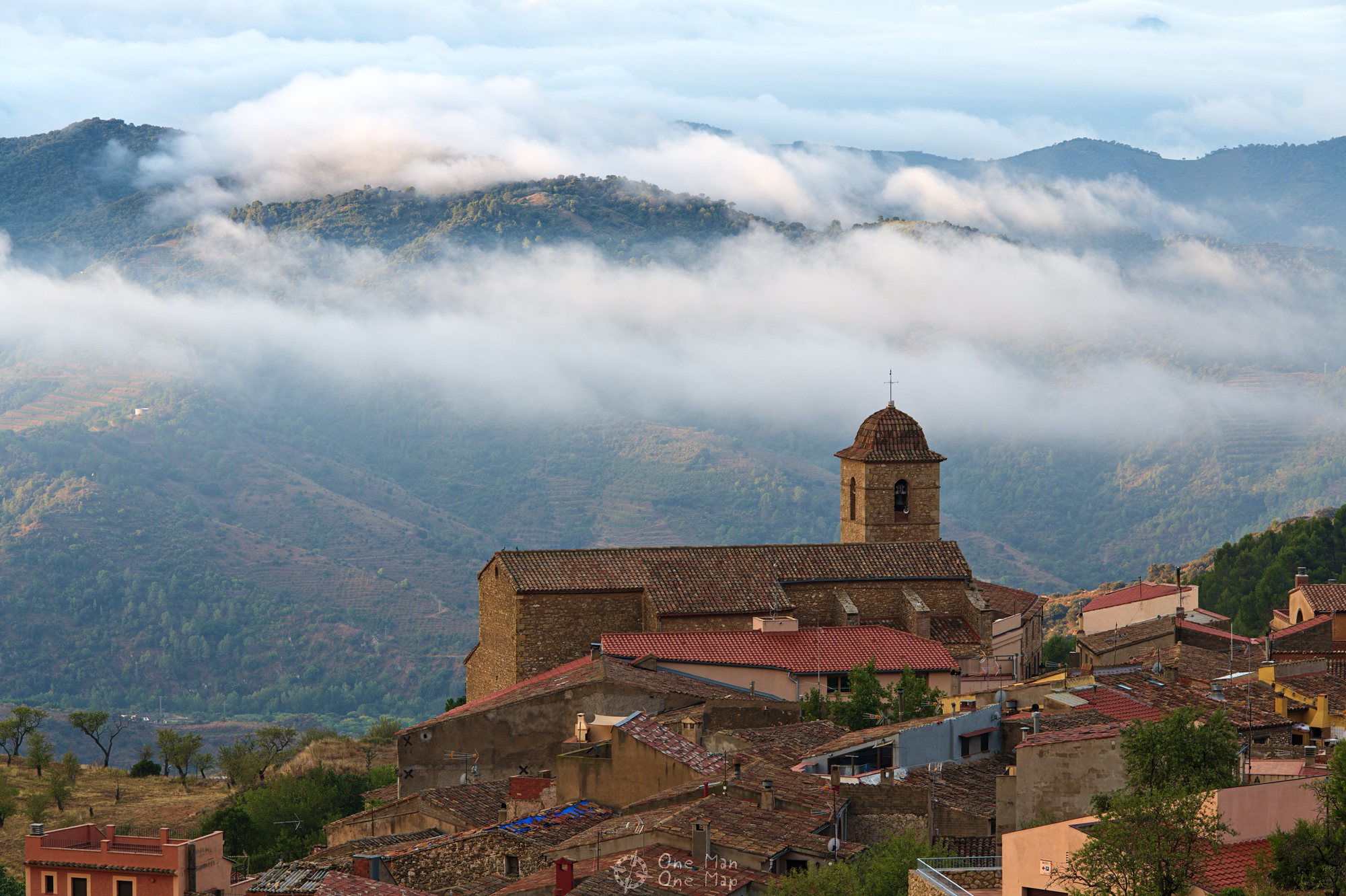

Temperatures may rise to over 30 degrees Celsius at the coast in midsummer, but in the mountains the air cools down quickly at night. Dense clouds were moving over the mountains at seven o’clock in the morning and a chilly ten degrees. Of course a fantastic view for photographers! The Tres Pedres, three big rocks right at the beginning of the hiking trail, are an especially nice place for putting people in scene.
The majority of the altitude difference is covered during the first one and a half kilometres. As soon as you have reached the actual mountain range you have to start climbing.

About half a kilometre after the Tres Pedres the path divides. Normal hikers turn left and continue through the Grau dels Barrots gorge. Adventurers and climbers continue straight to the via ferrata through the Grau del Carrasclet.
In August 2019 the via ferrata through the Grau del Carrasclet was closed due to it being in bad condition, though.

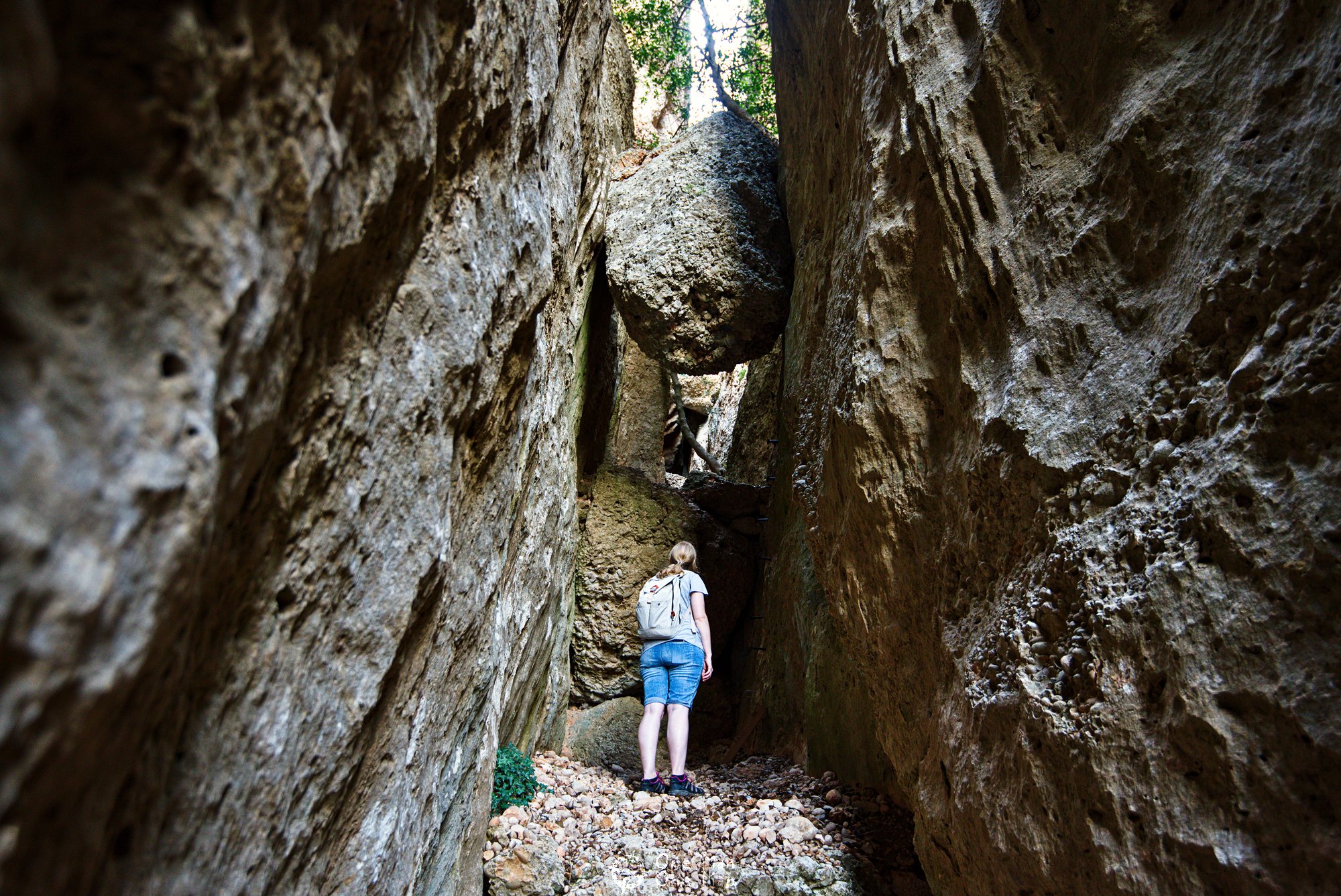
The narrow Grau dels Barrots offers some interesting perspectives. At the beginning it is shaped like a triangle and the sky is hardly visible. Then the gorge becomes wider and the path continues below some big, jammed rocks.
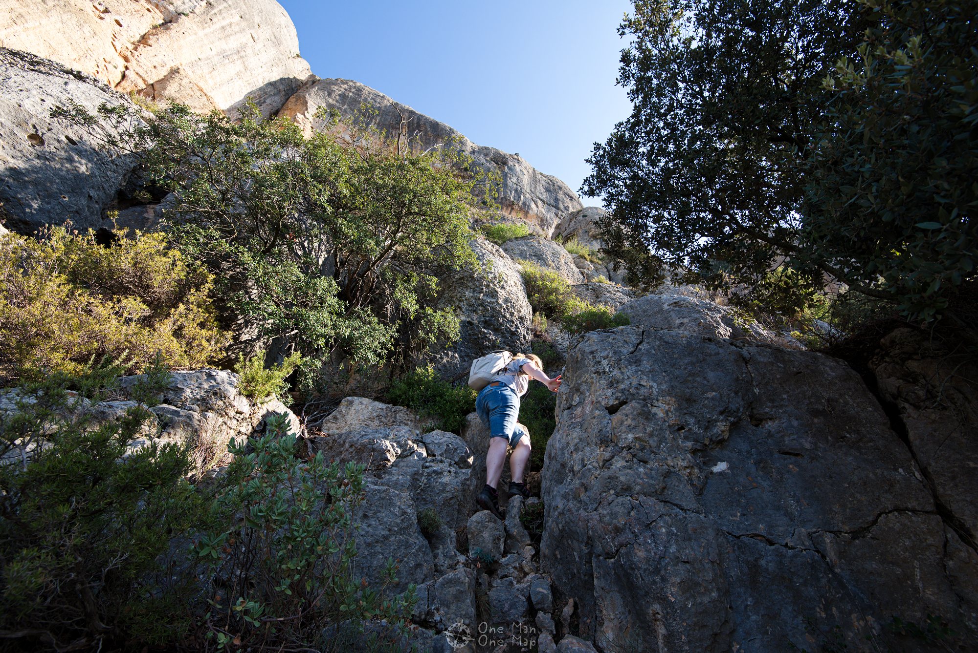
Even in the Grau dels Barrots you can’t can’t continue without some climbing. There are a couple of passages with U-shaped irons and metal pins.
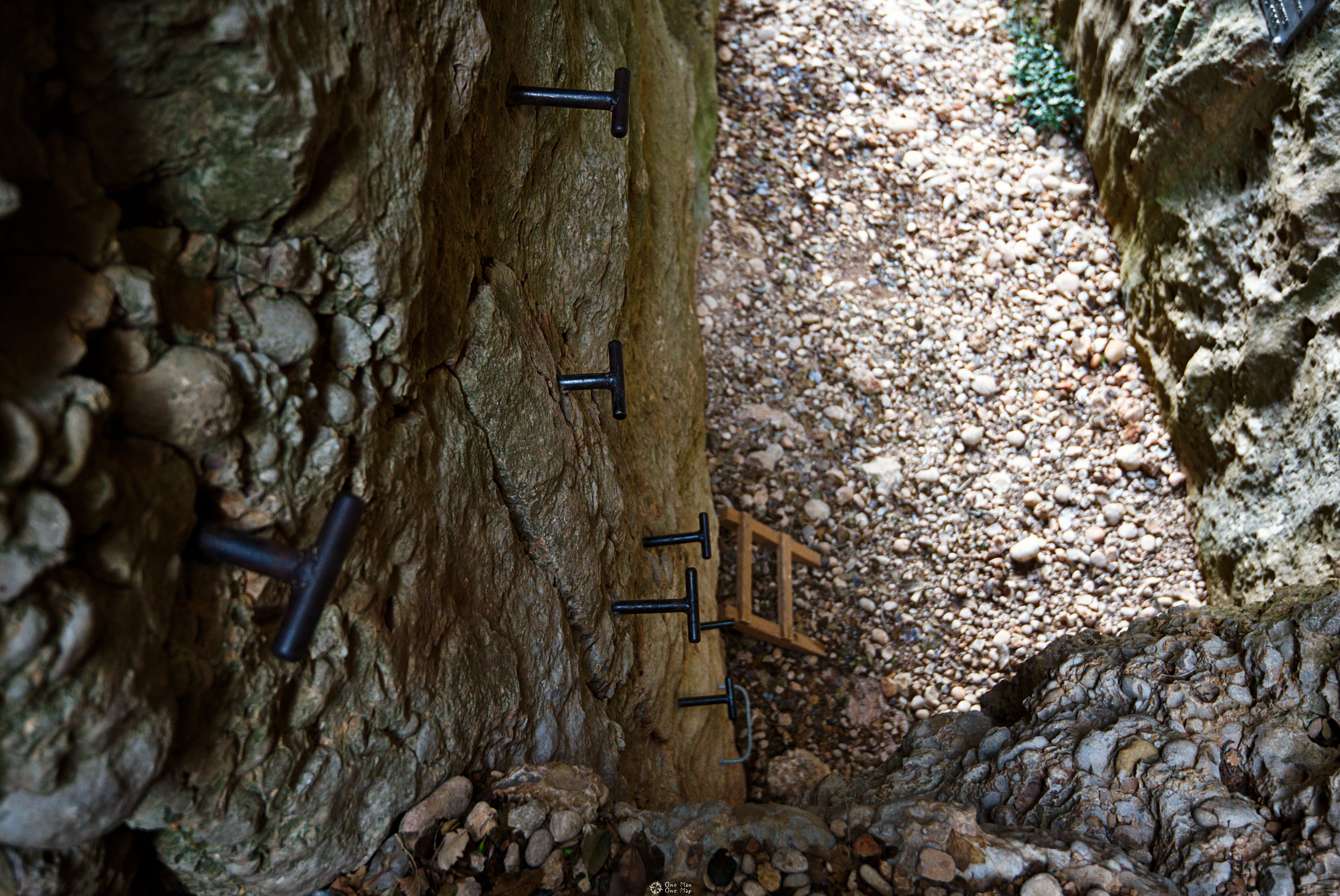
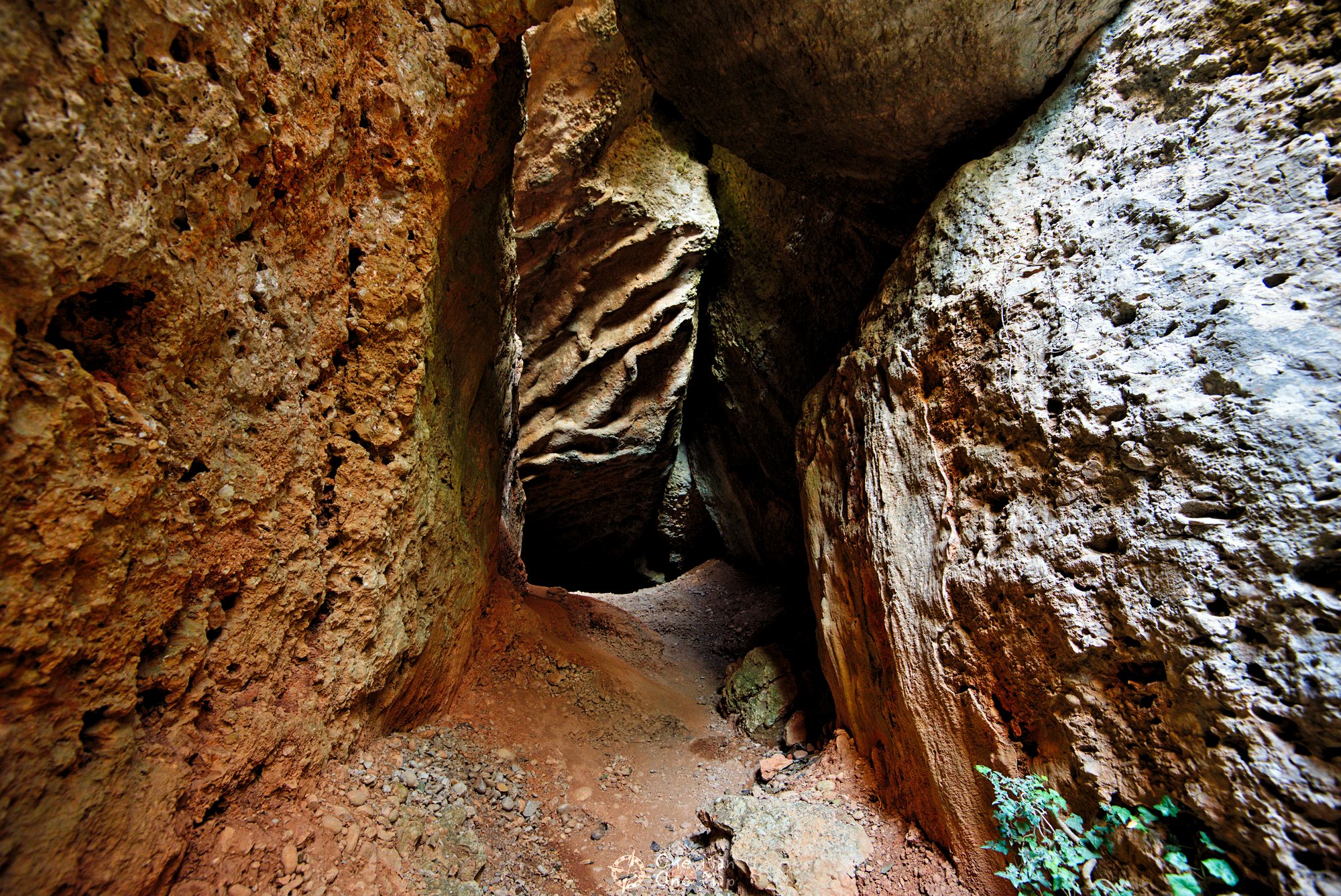
At the end of the Grau dels Barrots things get really exciting. First the path leads under a big rock and into a dark cave. Then it’s time to crawl, the backpacks have to be taken off and pushed further ahead by hand. And as if that wasn’t enough, you then have to cross said rock at a lofty height with the help of just a few metal pins…
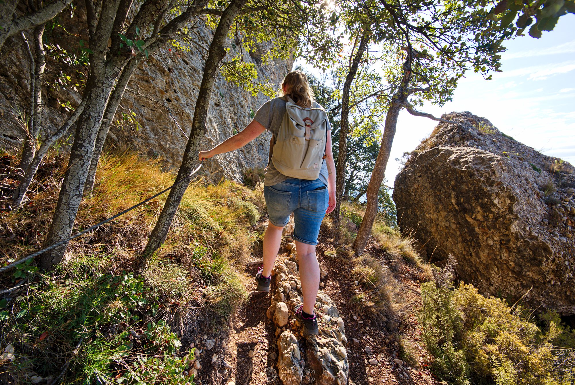
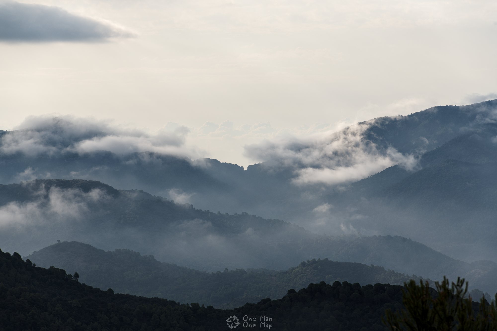
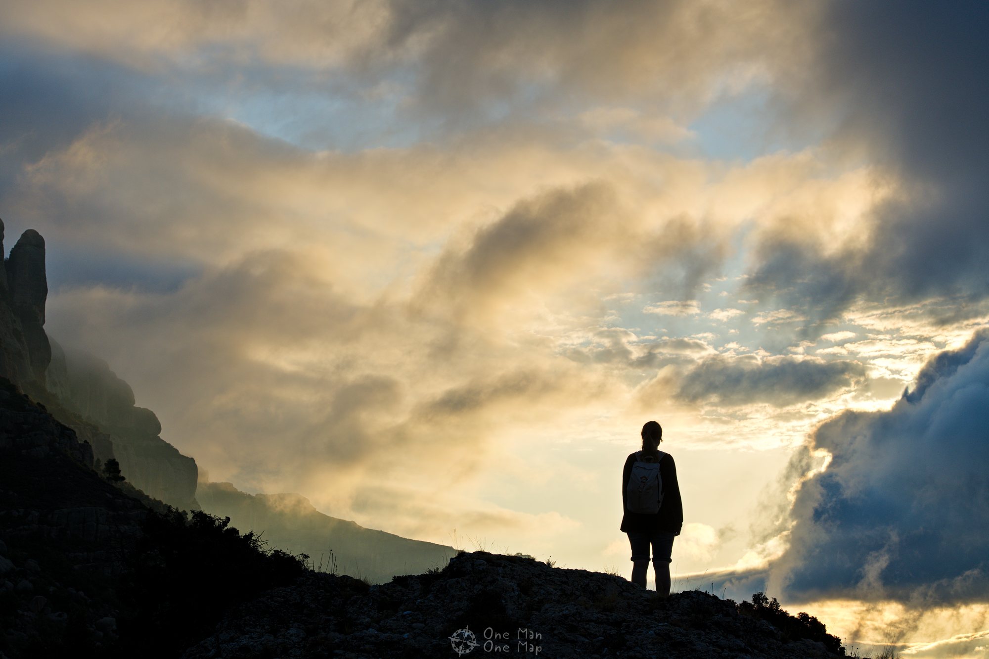
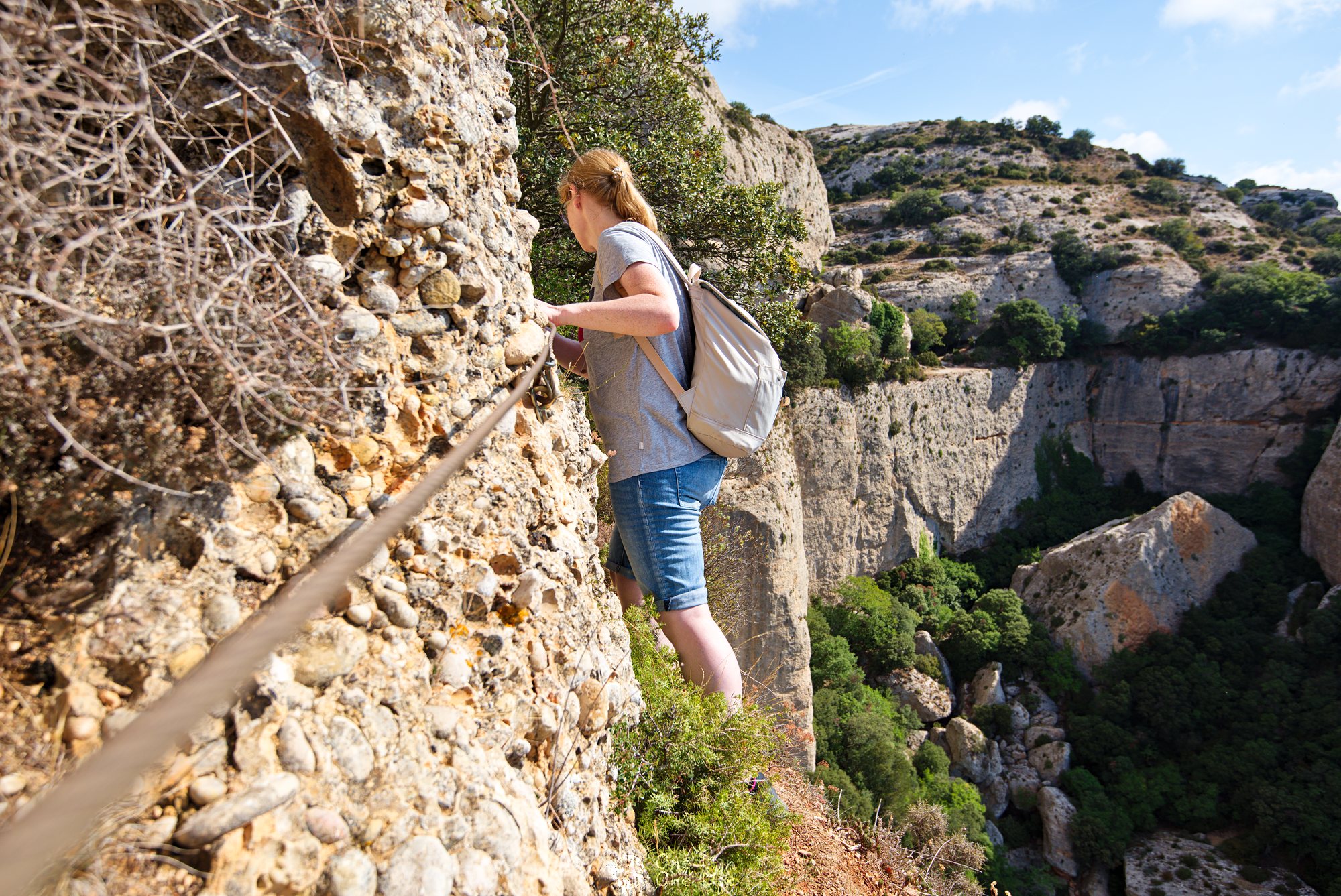
At this point the steepest part is finally behind you. The path continues almost horizontally along the rock face towards West, but that doesn’t mean it gets any less dangerous. Whole sections are fitted with steel ropes to keep you from falling off the very narrow path.
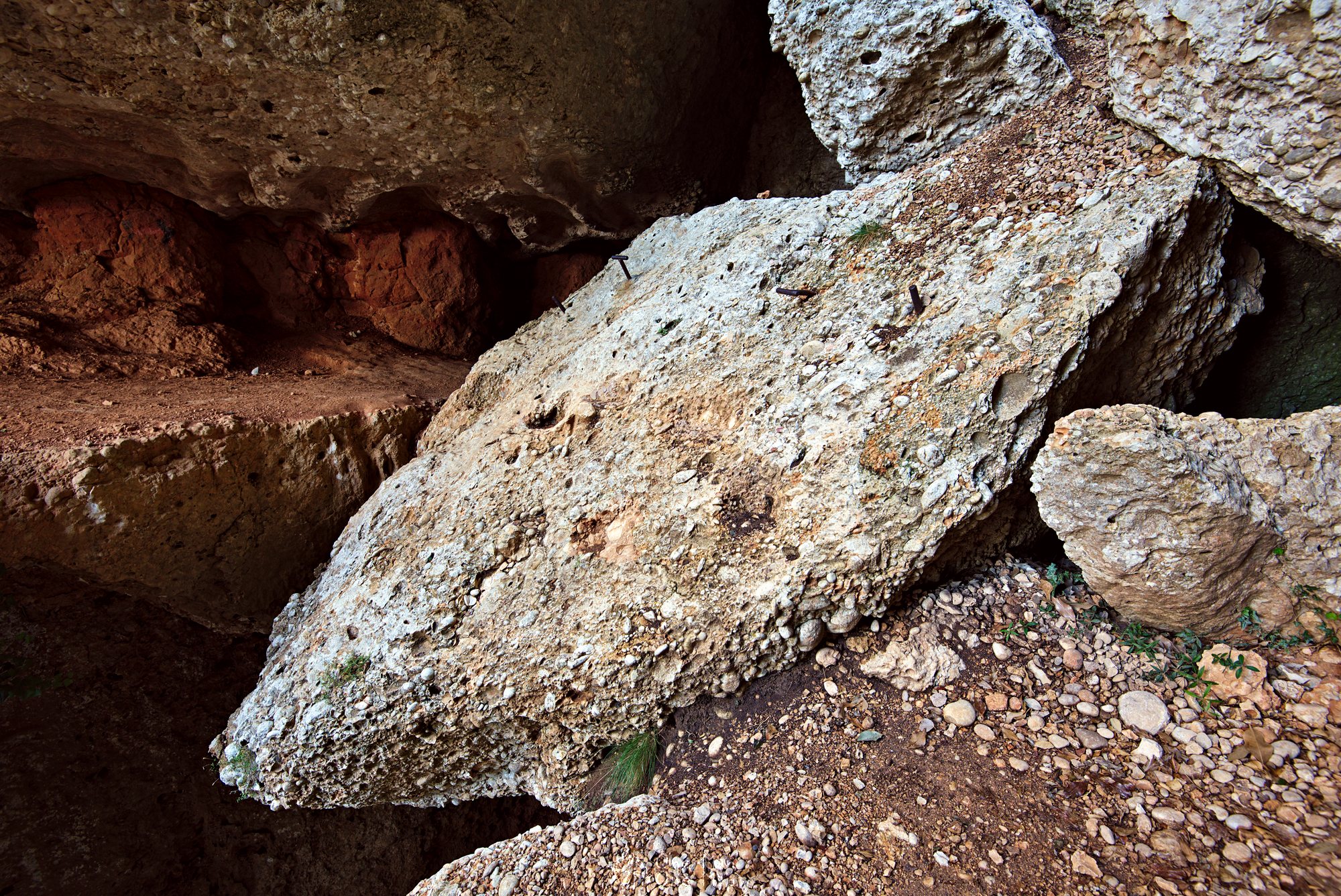
The worst spot is definitely the one in the following picture. The passage is very narrow, backpacks have to be taken off and passed through by hand again. To the right the cliff falls off to a depth of several hundred meters. The part behind the passage is very steep. This spot is guaranteed to be impassable and highly dangerous when the weather isn’t good.
In Germany or Austria the authorities would probably at least have secured the path, maybe even constructed a bridge or closed down the whole hiking trail. In Catalonia you don’t even get a piece of steel rope like in the passages before…

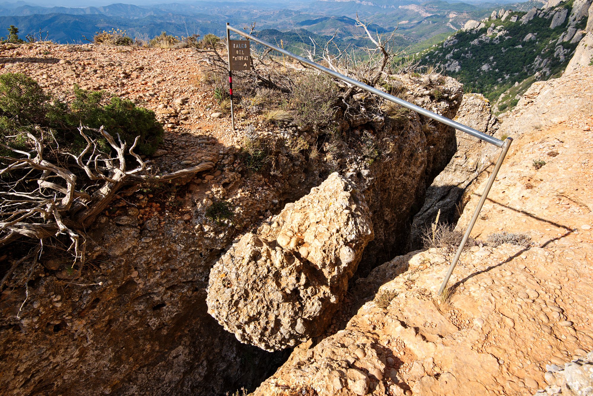
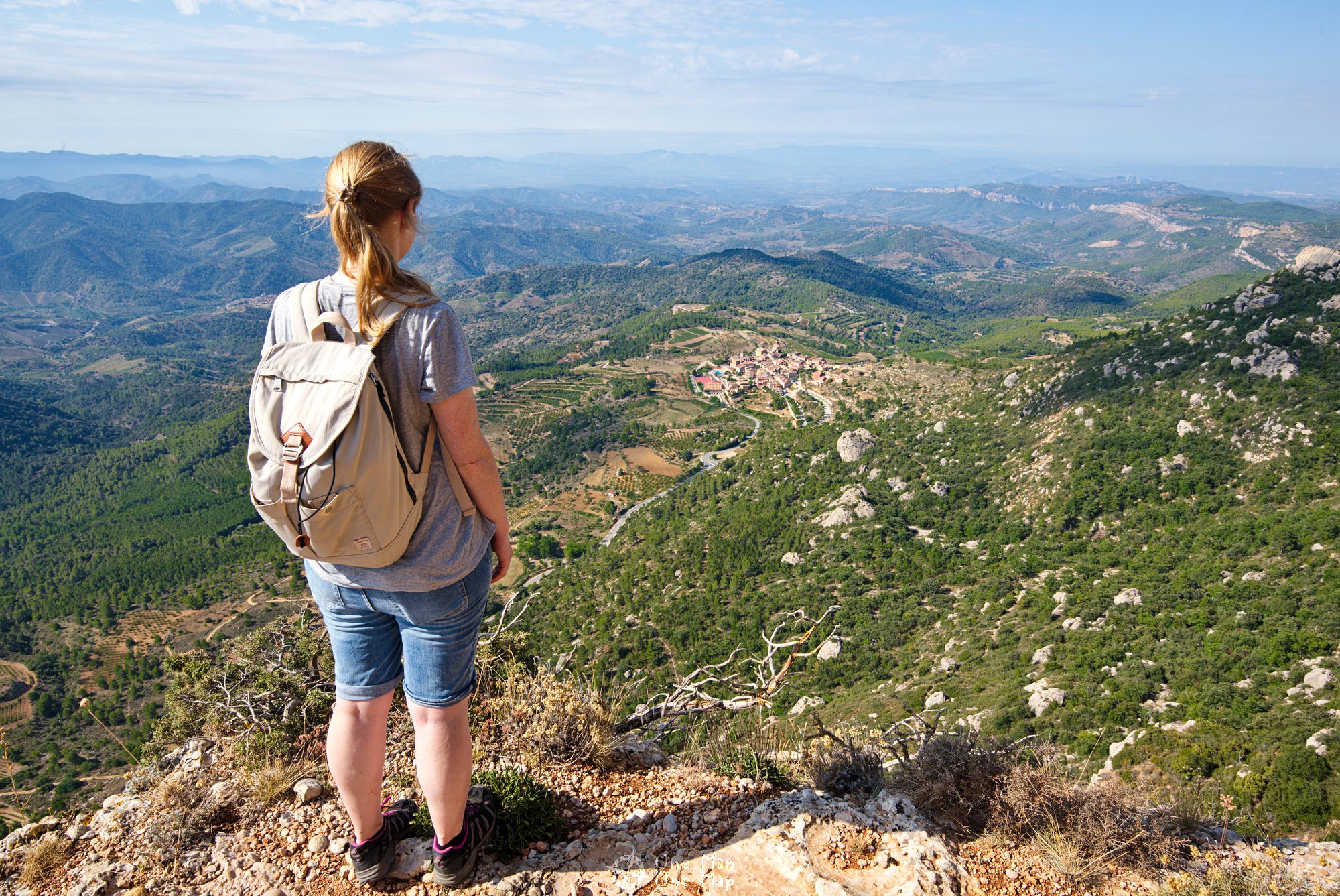
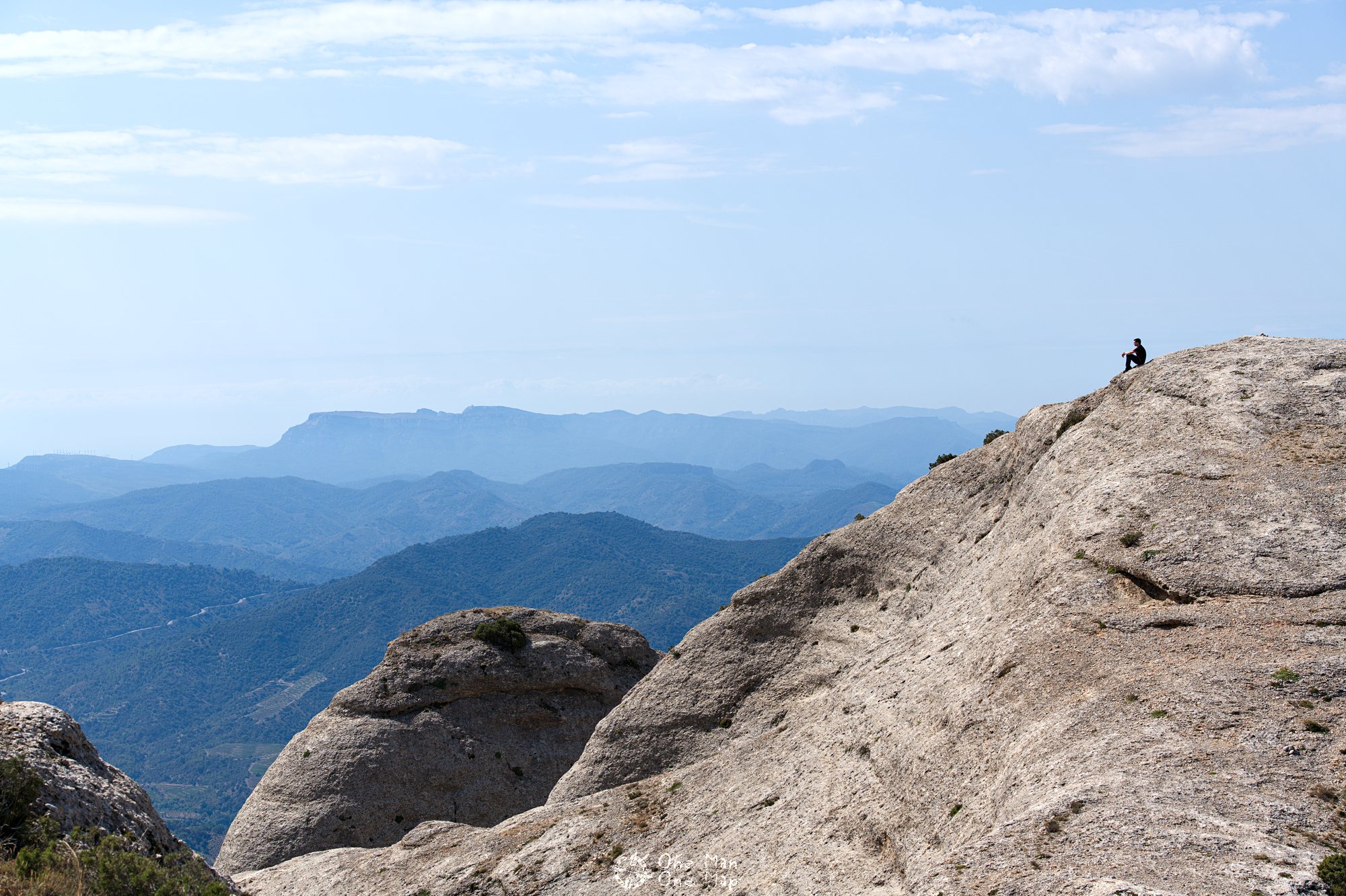
After all that excitement you reach the viewpoint Balcó del Priorat, also called Mirador del Priorat, around two kilometres into the hike. The “balcony” is situated at an altitude of almost 1,000 metres and offers an excellent view on the whole valley around La Morera.
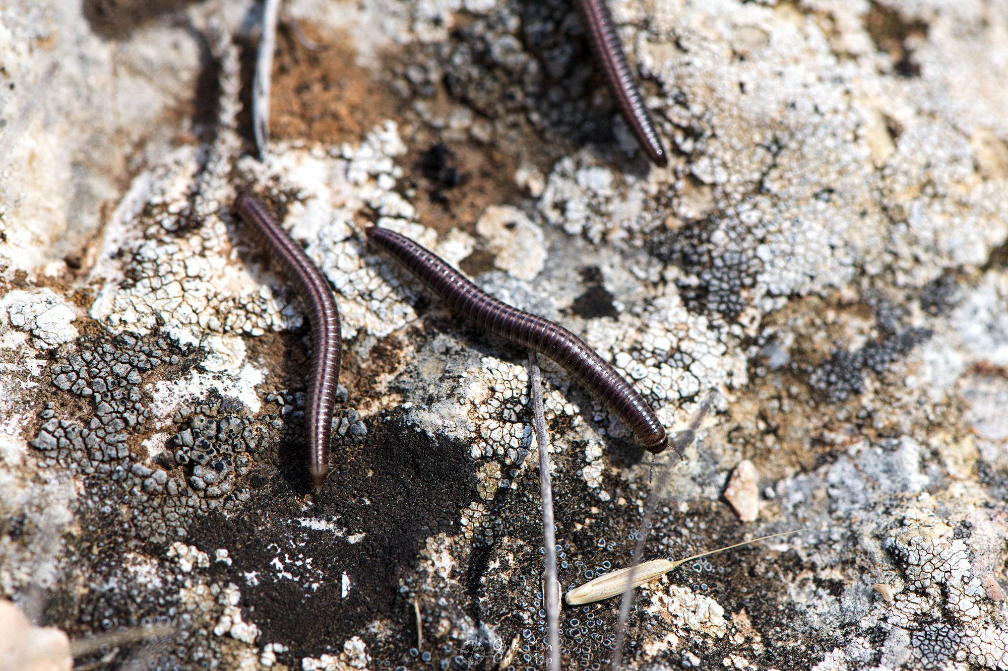
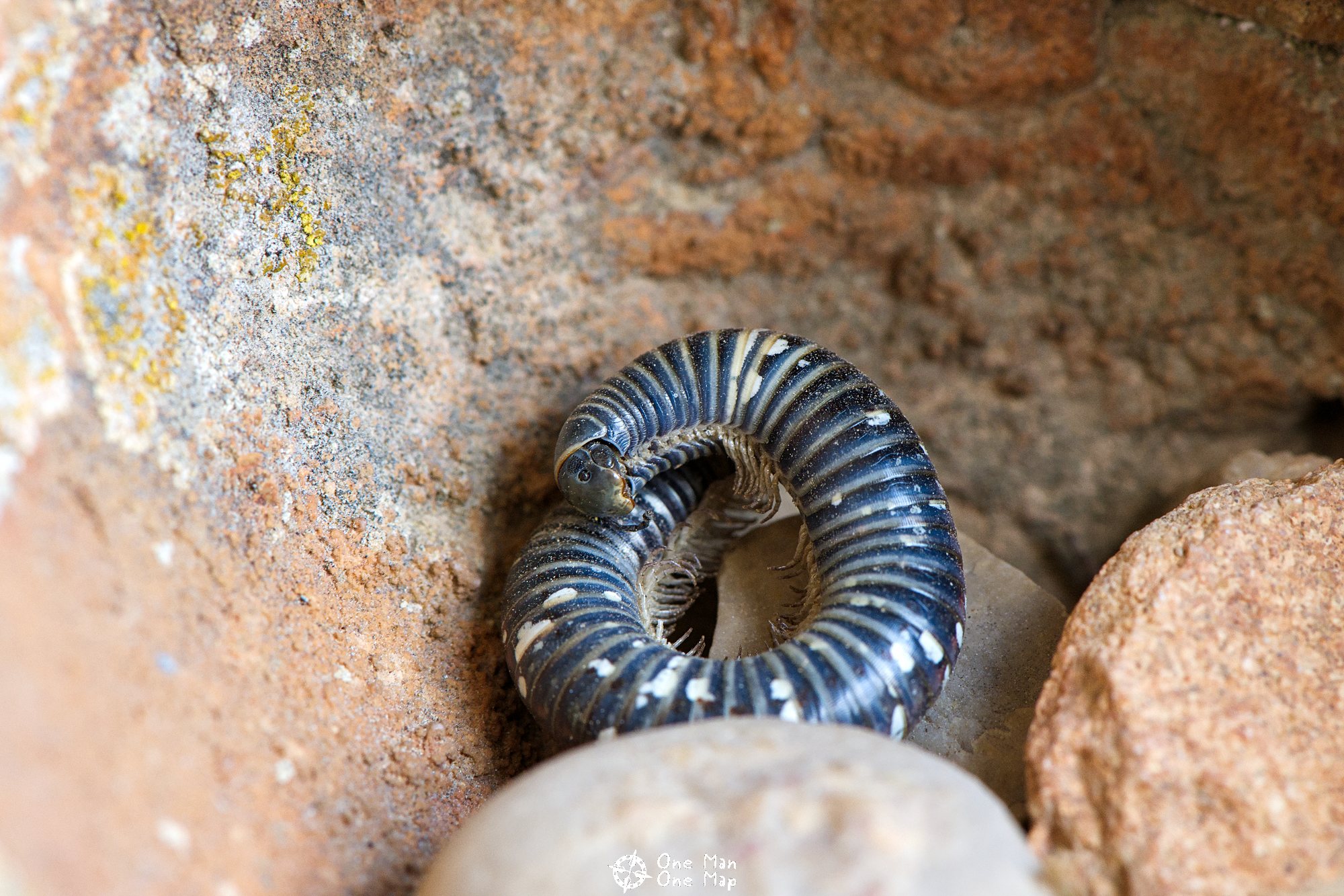
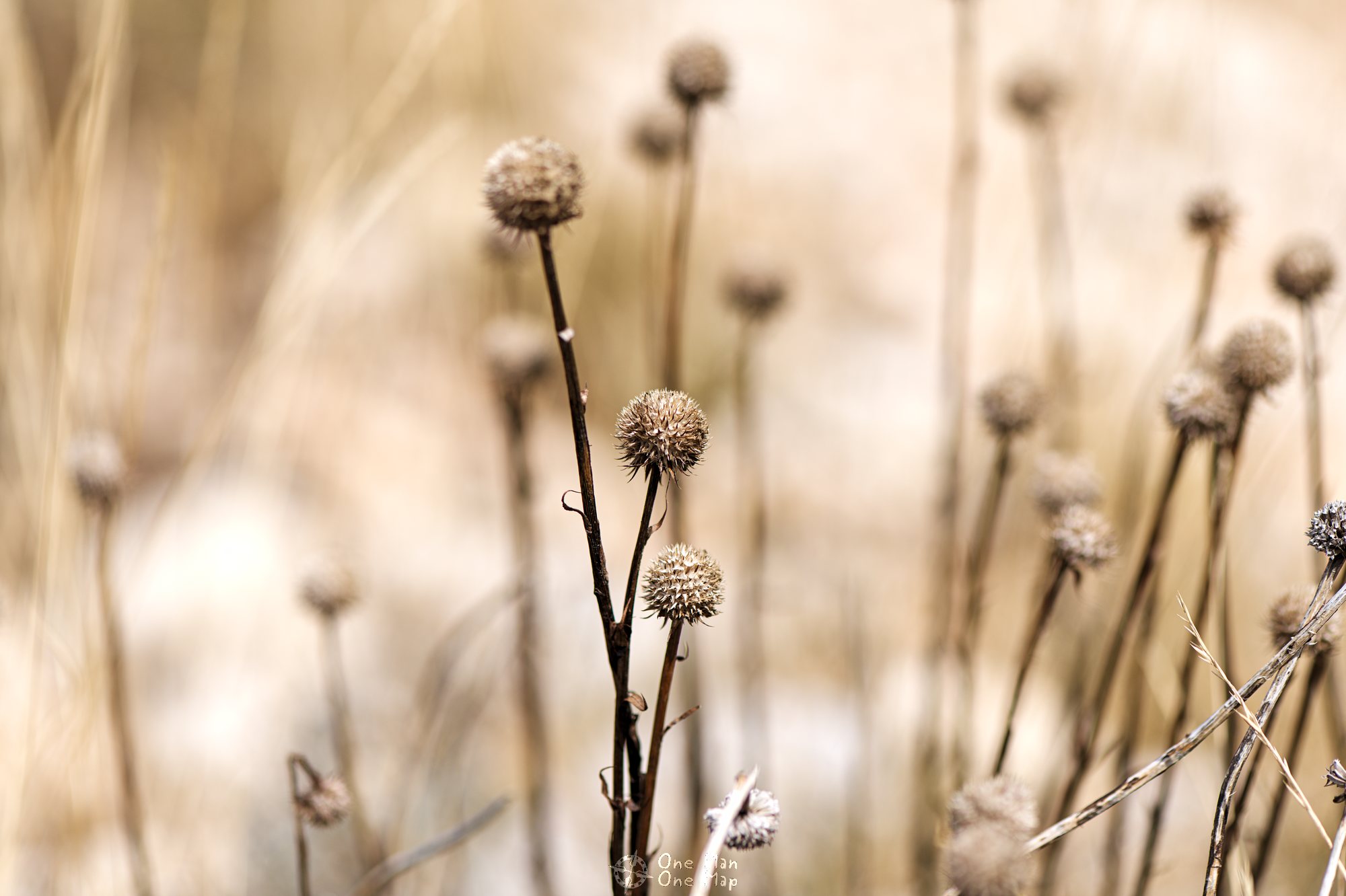
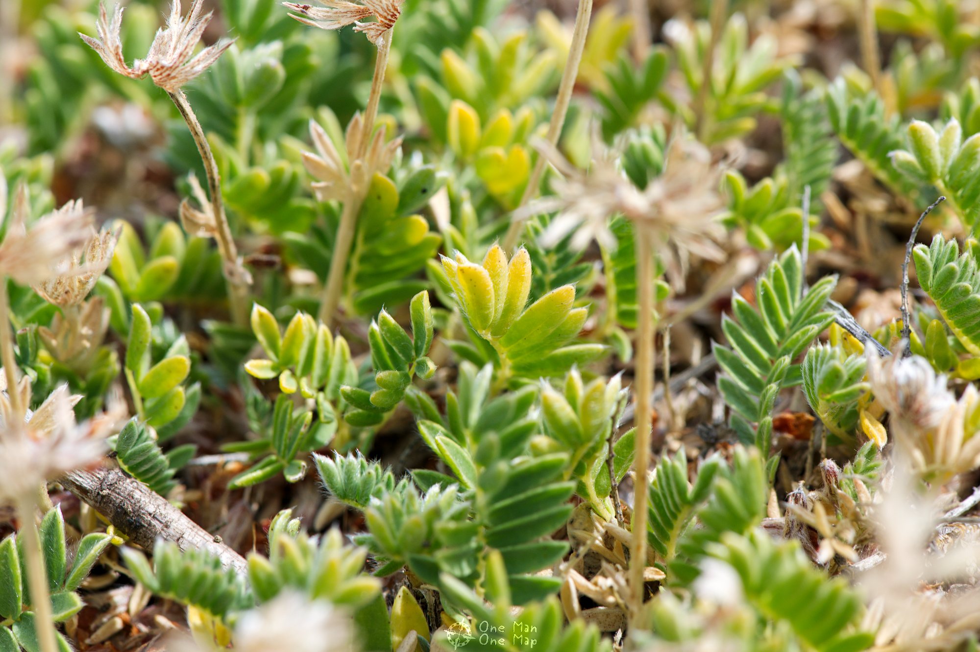
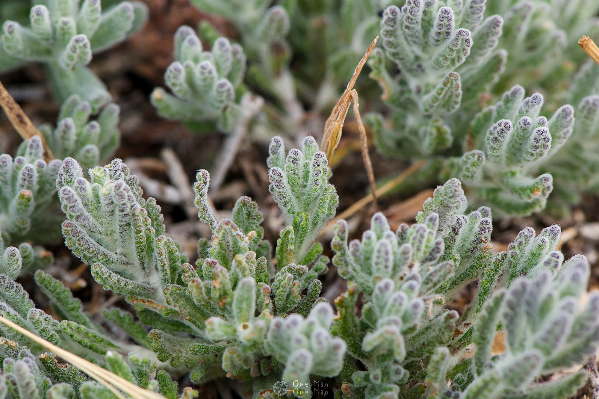
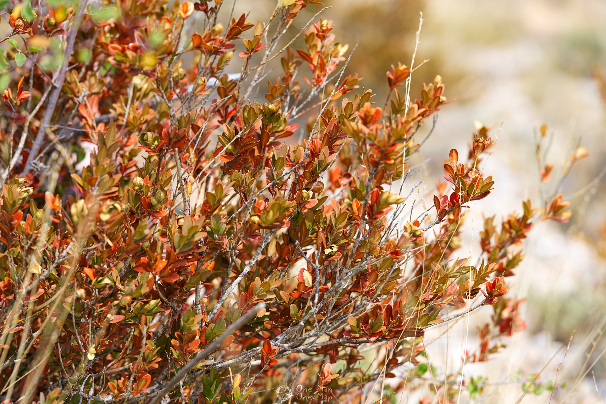
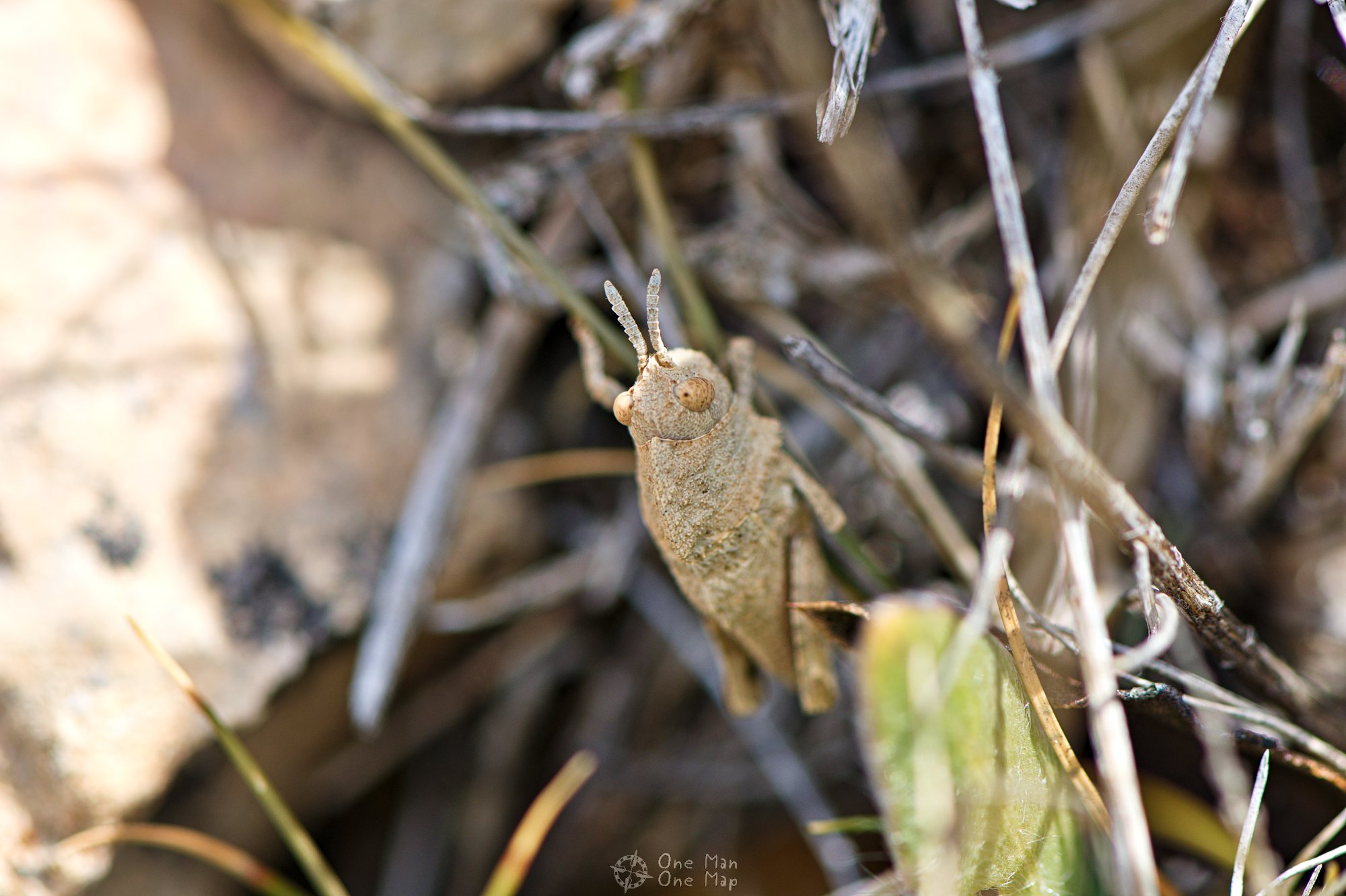
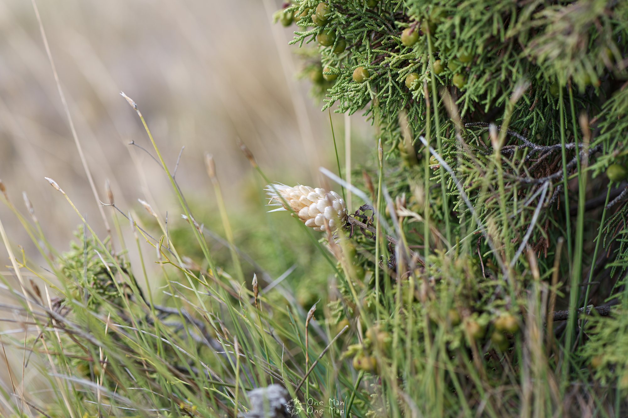
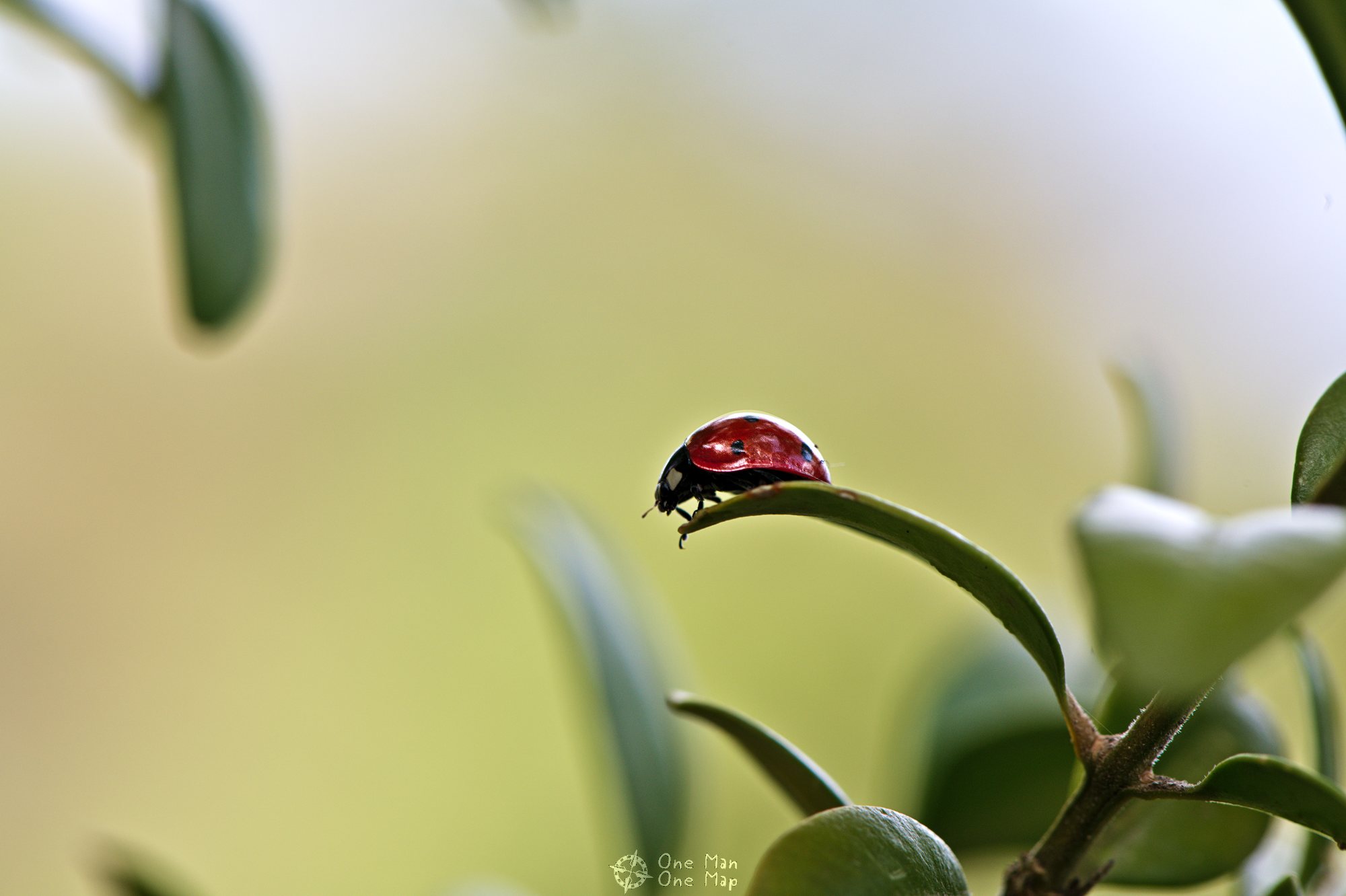
On the last meters before the mountain ridge the path becomes really narrow again. But at least it wasn’t all uphill anymore and we didn’t have to squeeze our way through anything, so I was able to point the camera at some of the local fauna on the ground.
The last climbing part of the ascent goes through an impressive crevice. The via ferrata through the Grau del Carrasclet also ends around here.

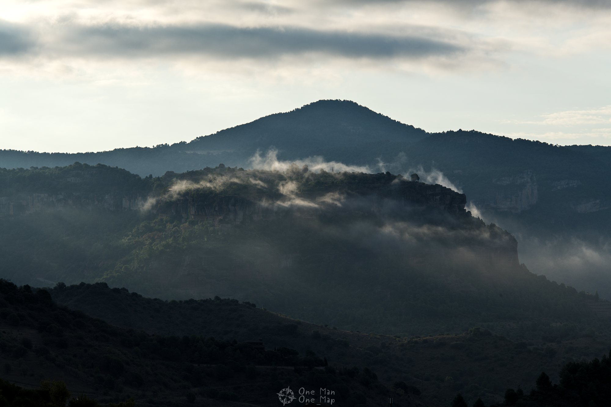
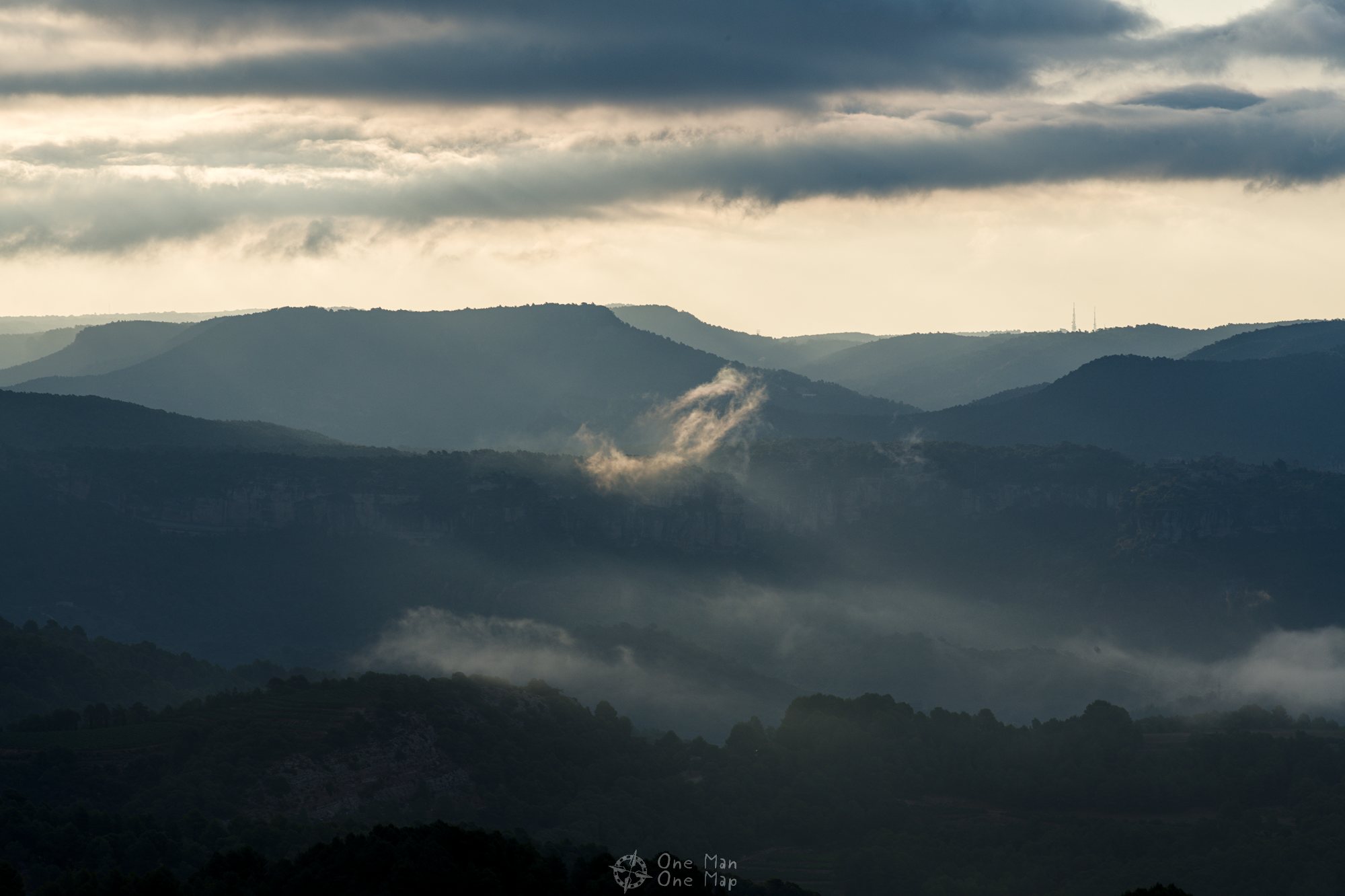
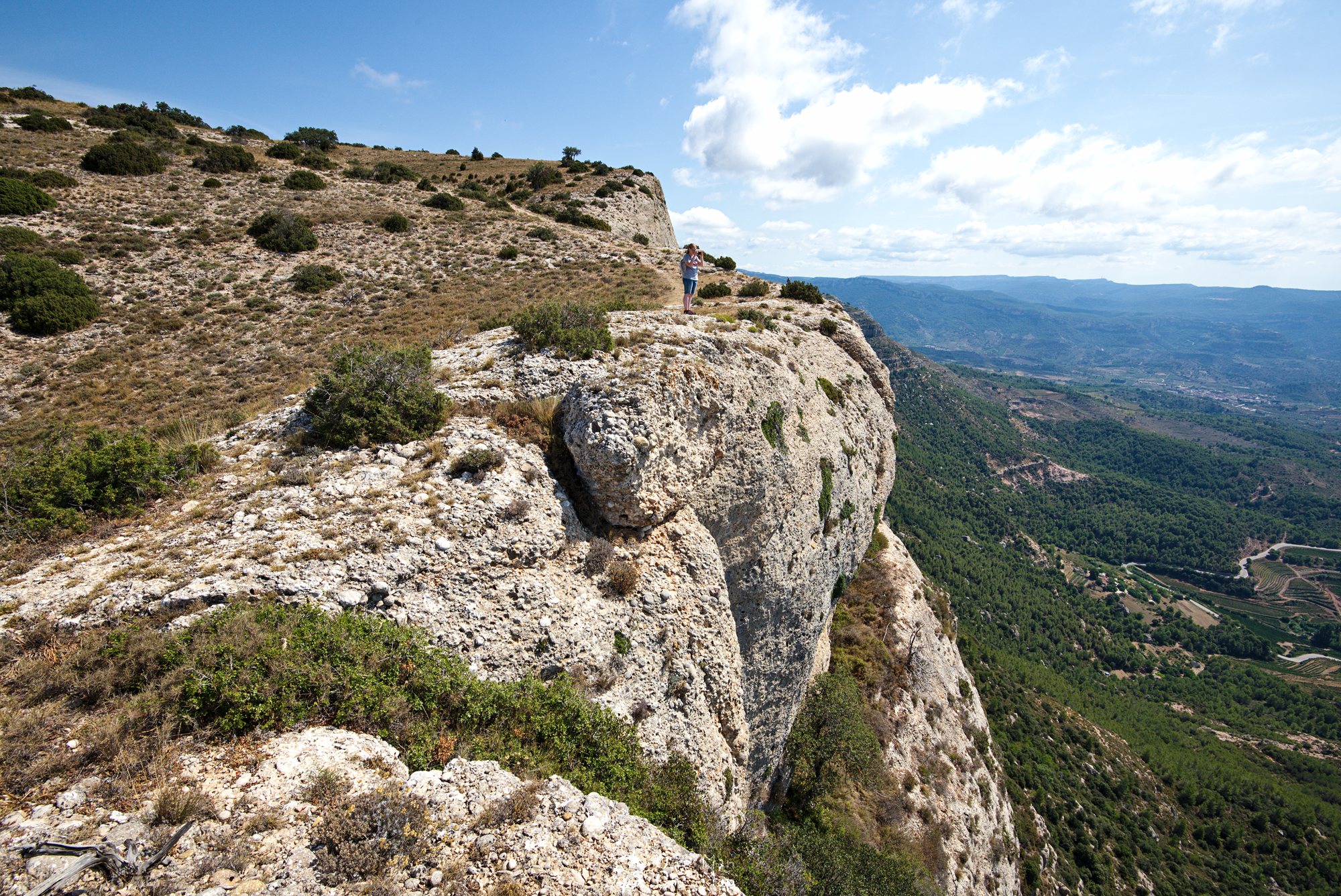
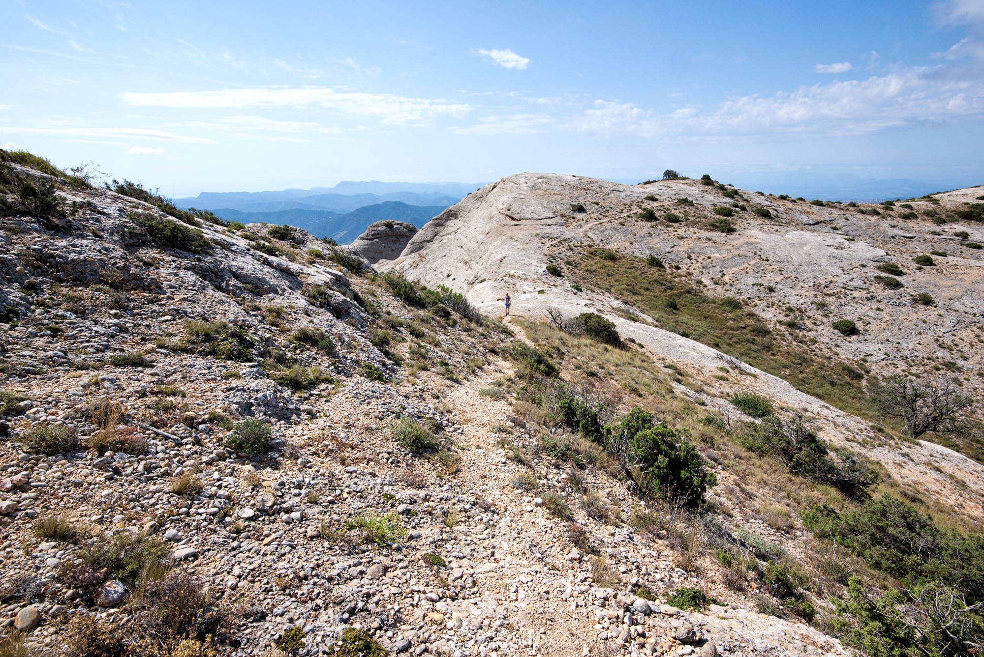
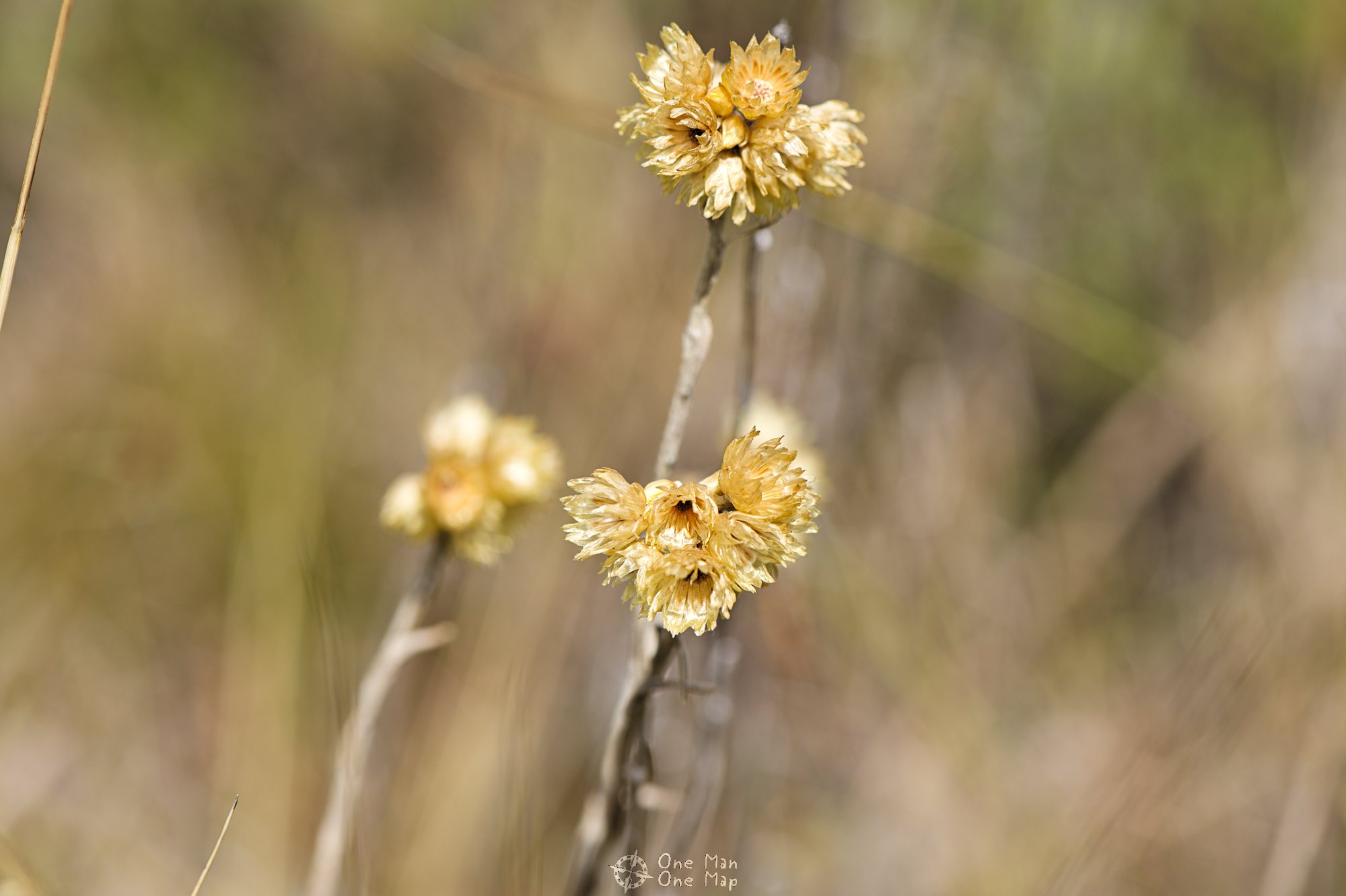
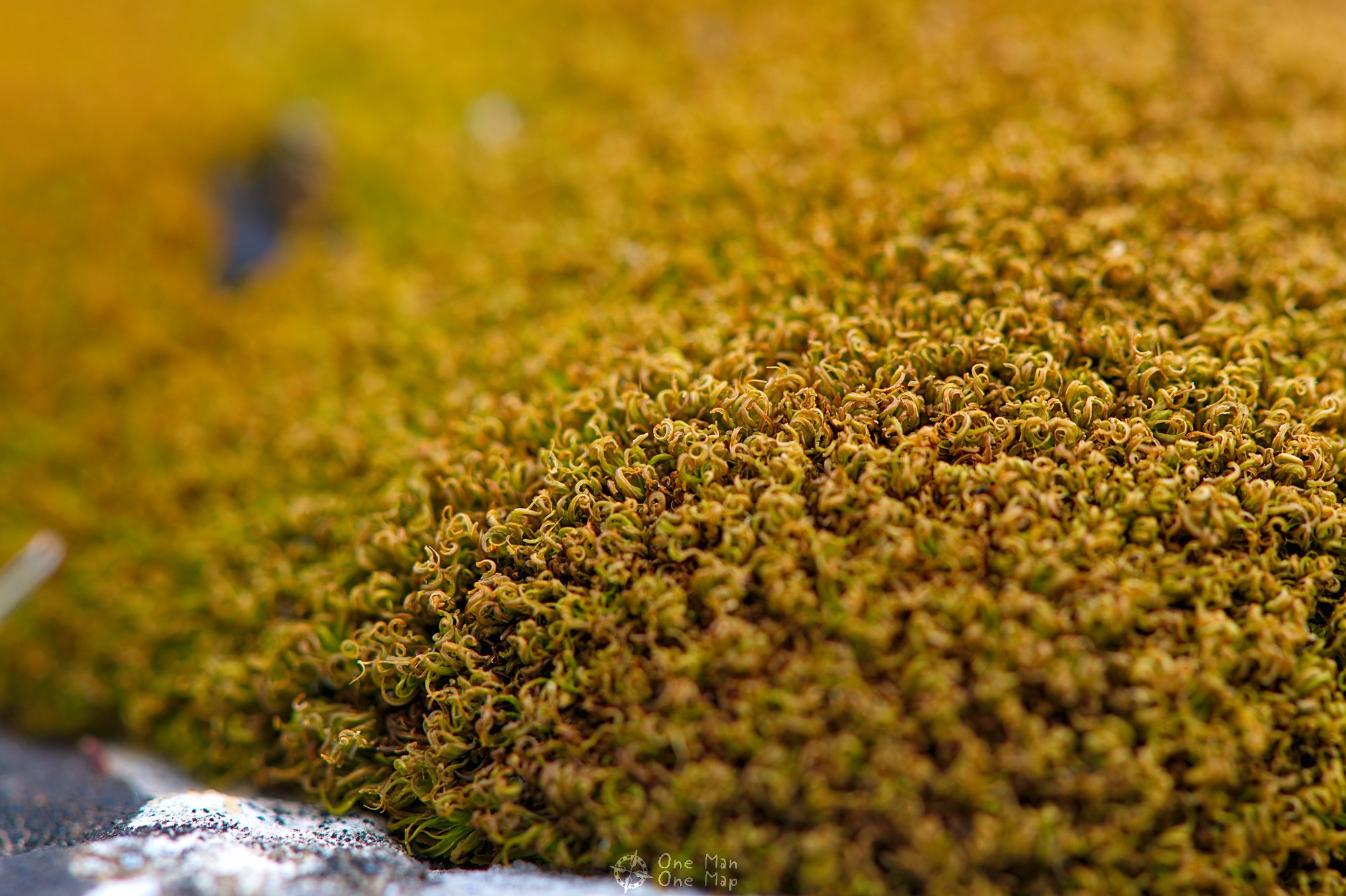
We did it! The next four kilometres to the Roca Corbatera peak now simply run along the ridge. There are no steep parts anymore from here on, so I now had much more time for better pictures.
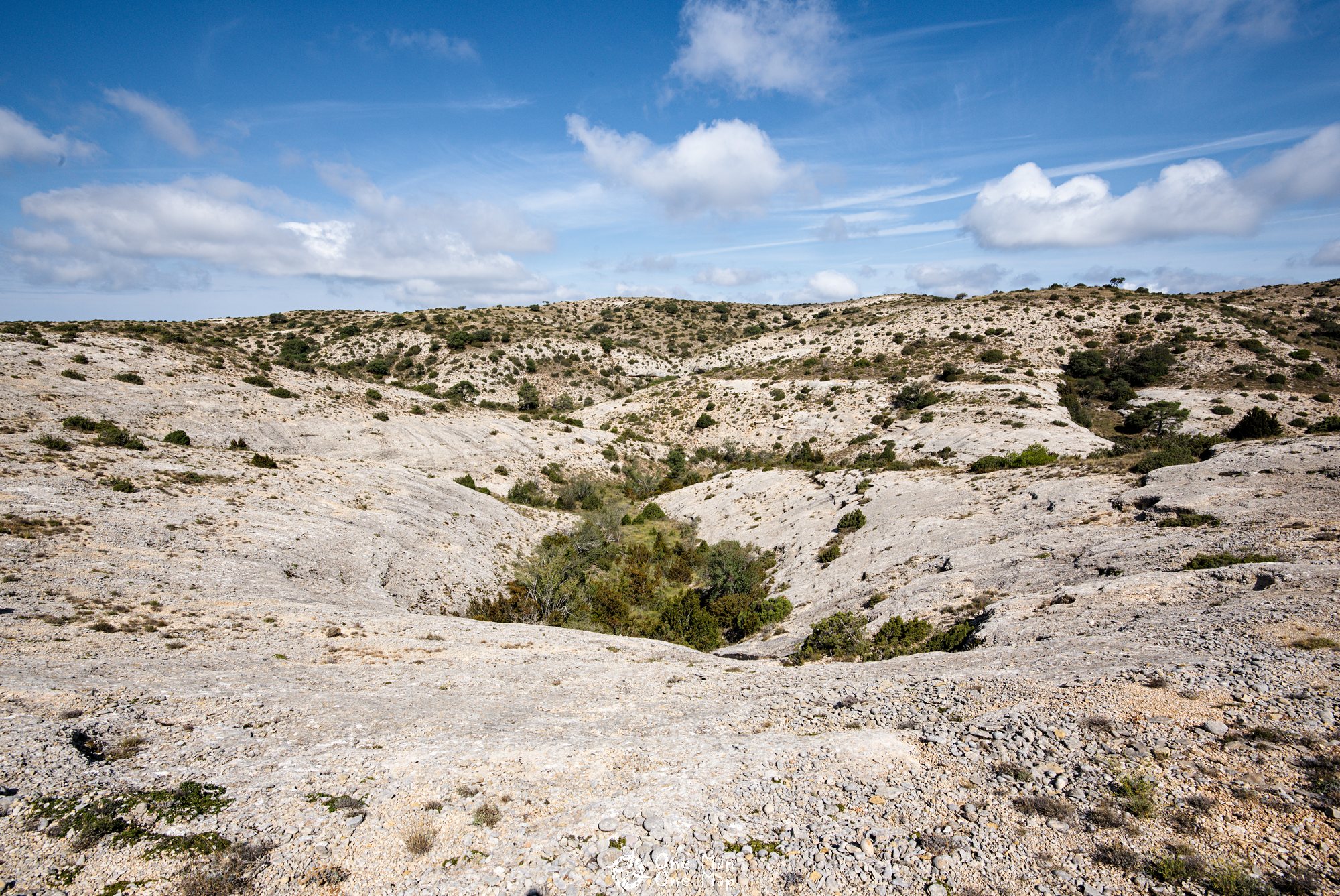

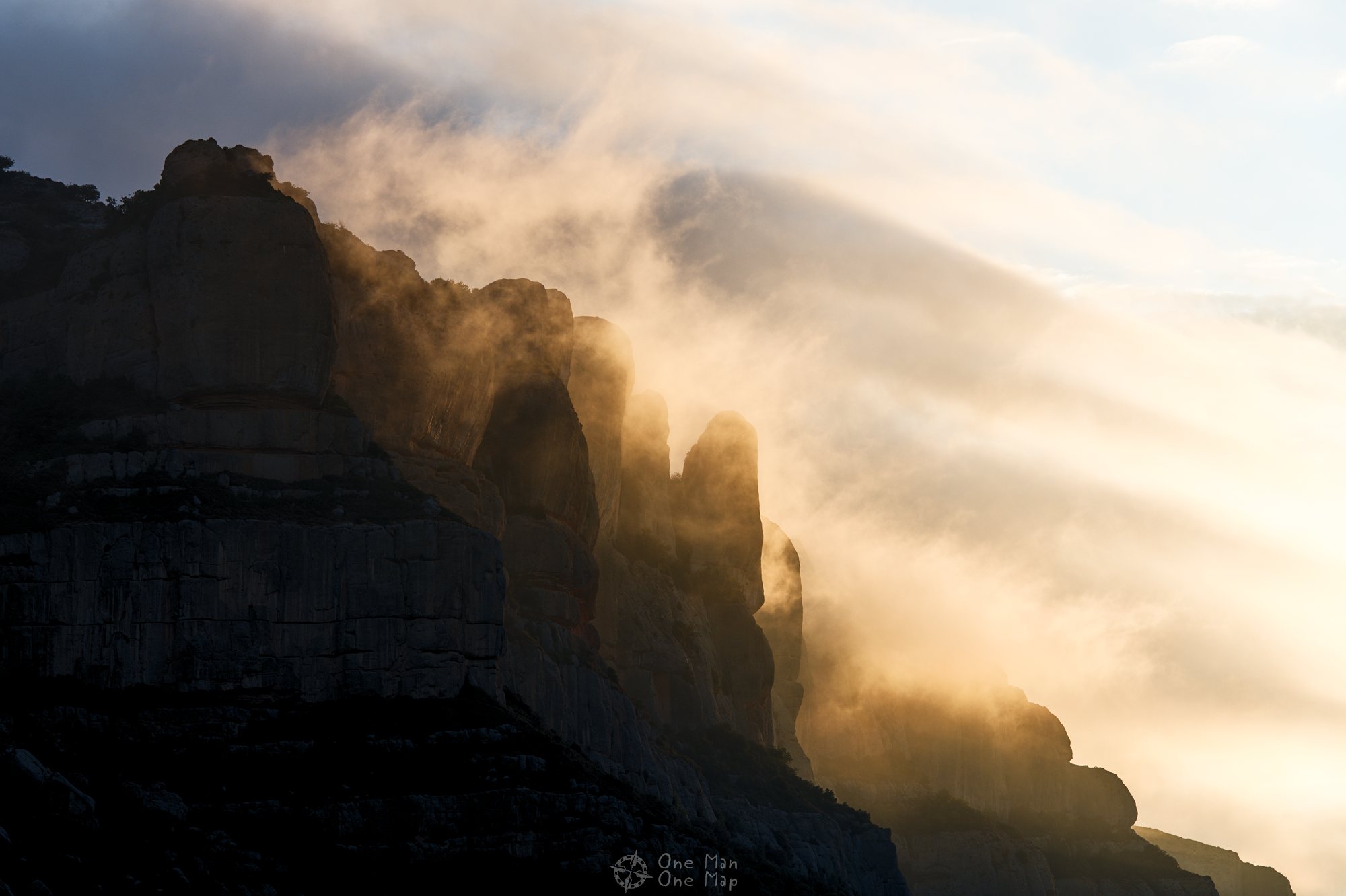
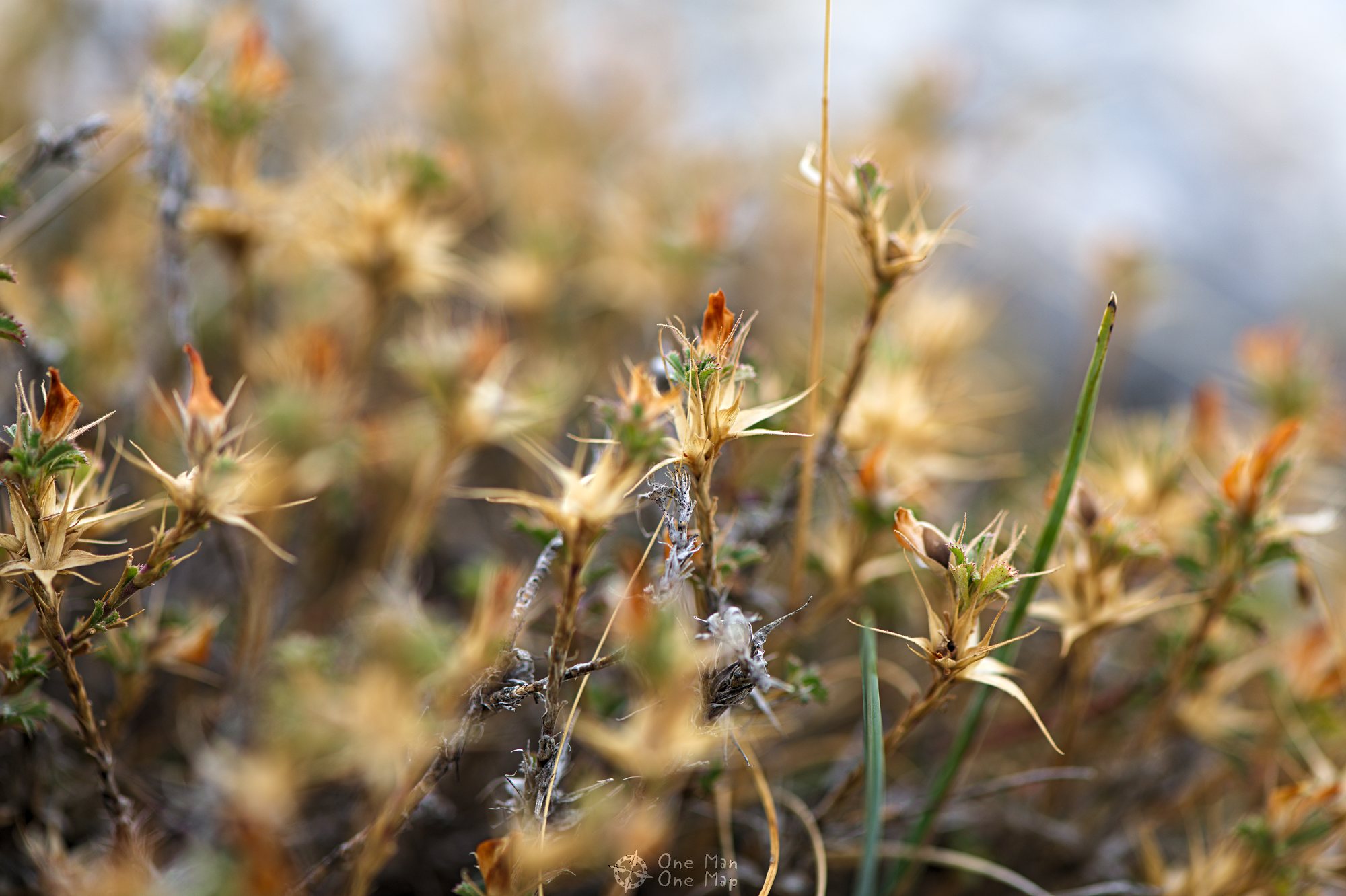
The Montsant mountains consist mainly of limestone, granite and slate. Erosion has cut strange, round and curved shapes into the stone. What a huge contrast to the sharp “teeth” of Montserrat!

Vegetation is very sparse due to the extreme dryness. There are hardly any trees, and in many places even the grasses, herbs and hedges have a hard time growing. Parts of Montsant was declared a nature reserve in 2002. Many rare species such as wildcats, lynxes, martens and larger birds of prey are said to be at home here. We didn’t get to see any wild cats, only lizards and peregrine falcons.
If the deer which had run in front of our car at six in the morning on the way to La Morera also belonged to a rare species, it was lucky. It managed to escape scared, but unharmed 🙂
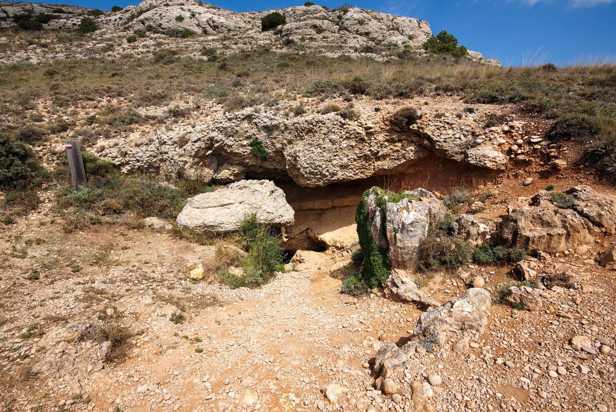
The Cueva Santa
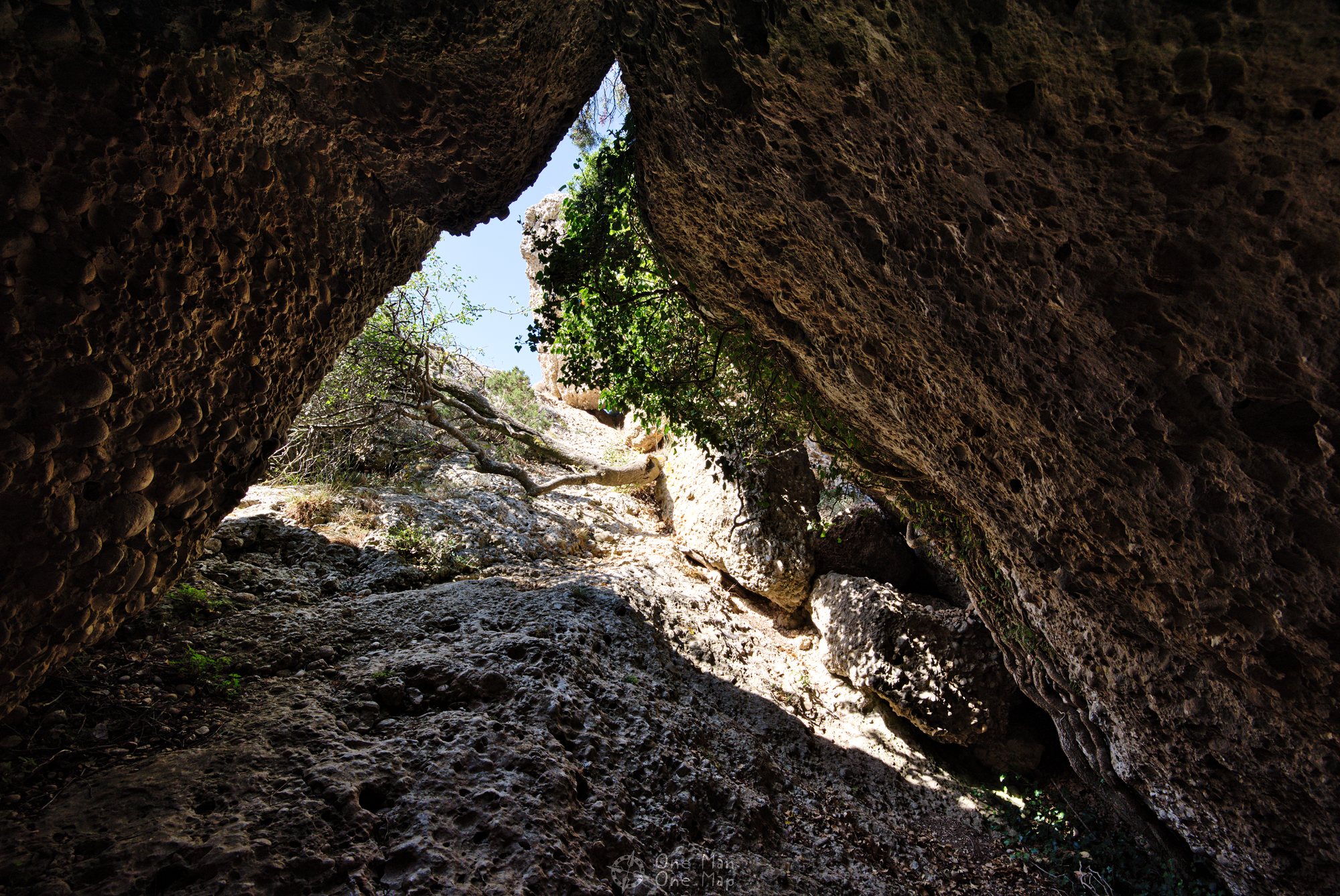
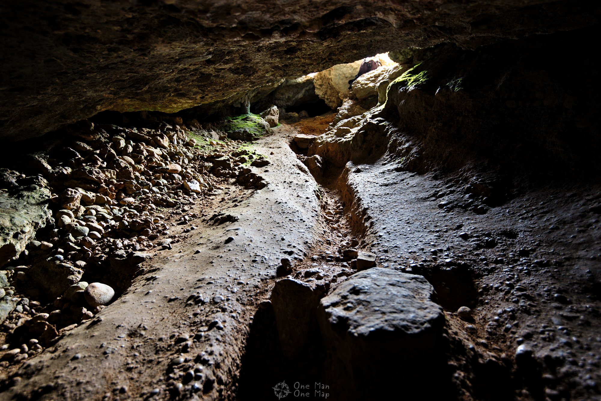
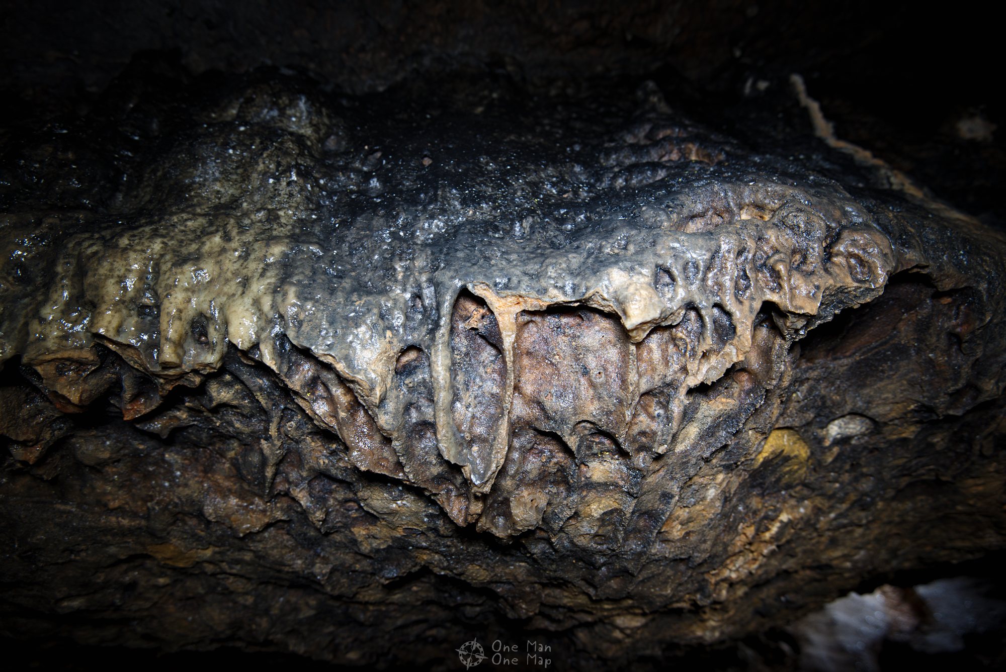
The real highlight of the tour is the descent into the Cueva Santa stalactite cave. It’s easy to overlook, so we walked past it at first because. The entrance is very narrow and very steep. But after about twenty meters you can stand upright without any problems.
If you intend to go into the cave, bring a flashlight or headlamps. Not everybody hauls a whole set of photo equipment including an LED lamp up a mountain… 😉
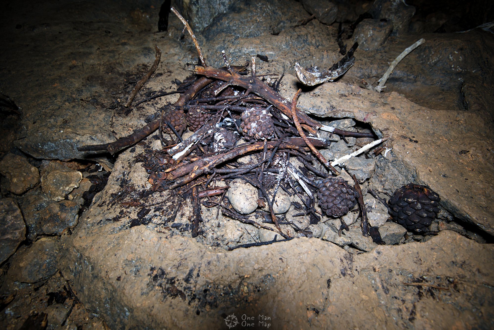
Apparently someone had tried to start a – not very successful – barbecue inside. Humid caves with bad ventilation really aren’t the best place for this.
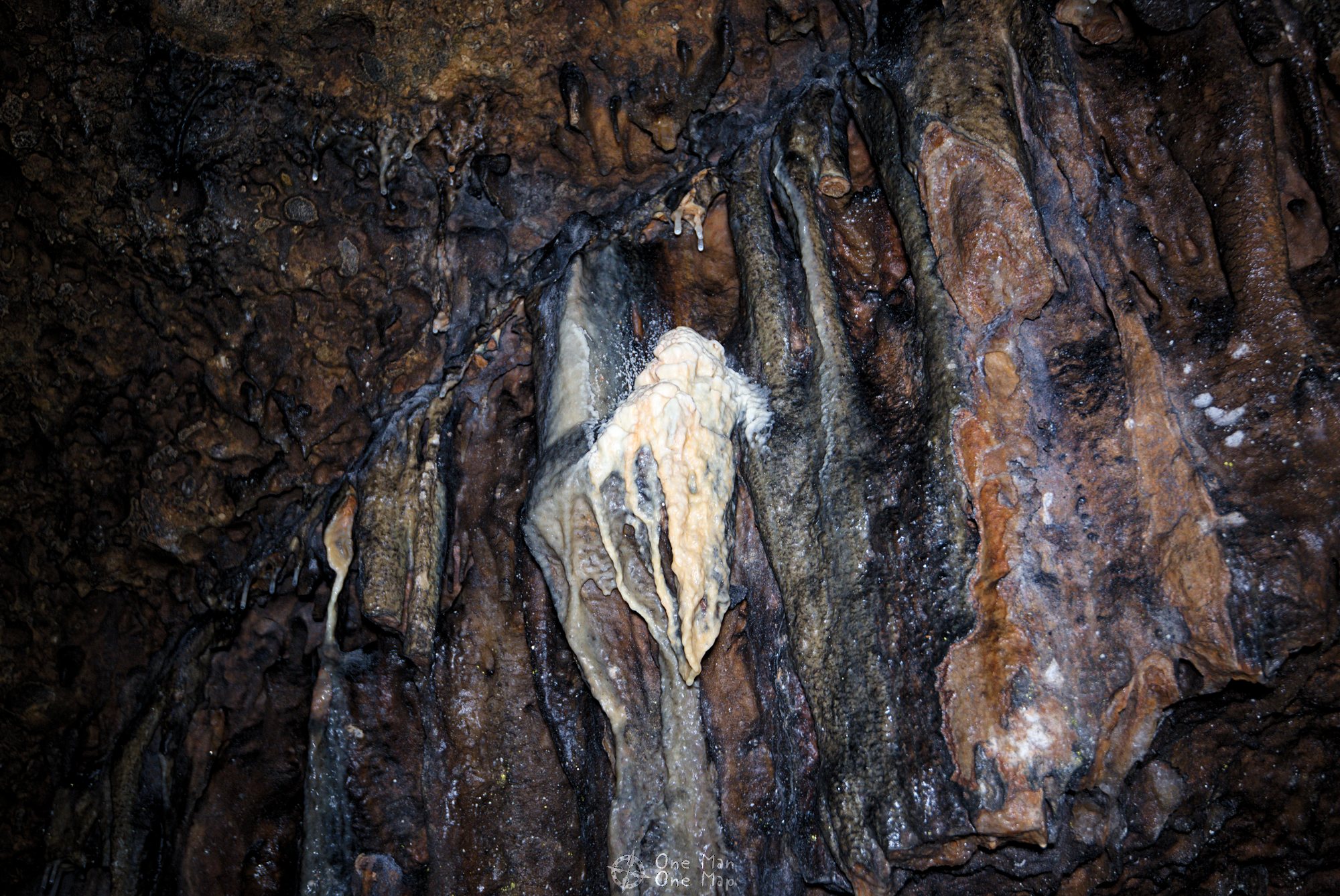
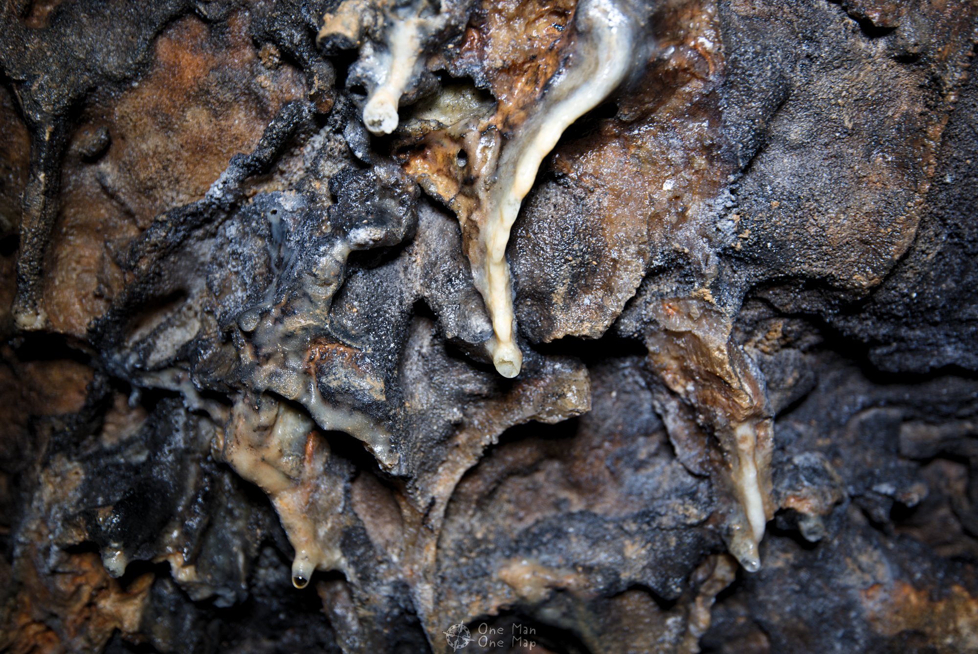
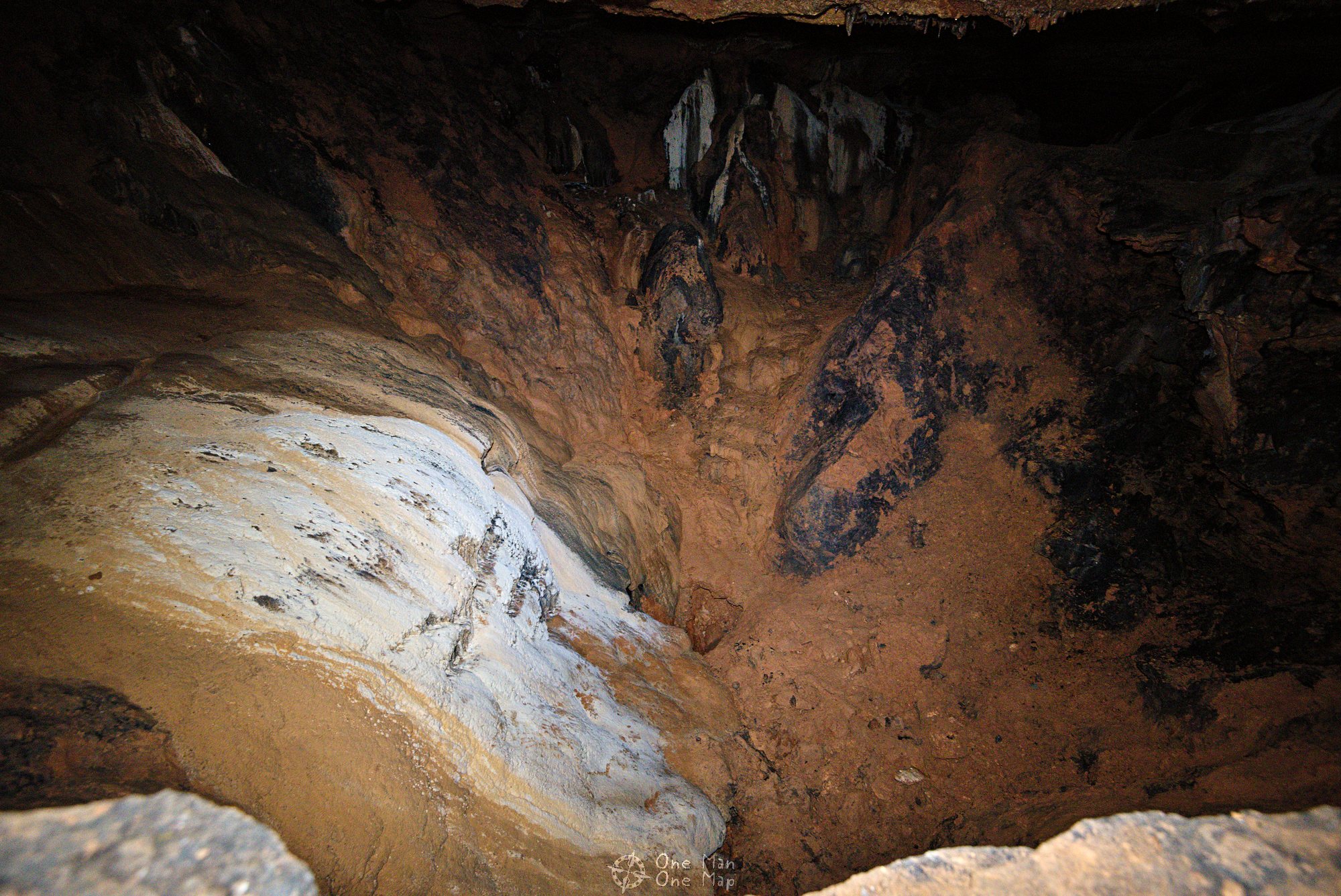
The Cueva Santa is surprisingly big. From the first room you can climb down into the next one over an edge. Fortunately earlier visitors had already constructed a stone staircase, making the return to the surface much easier.
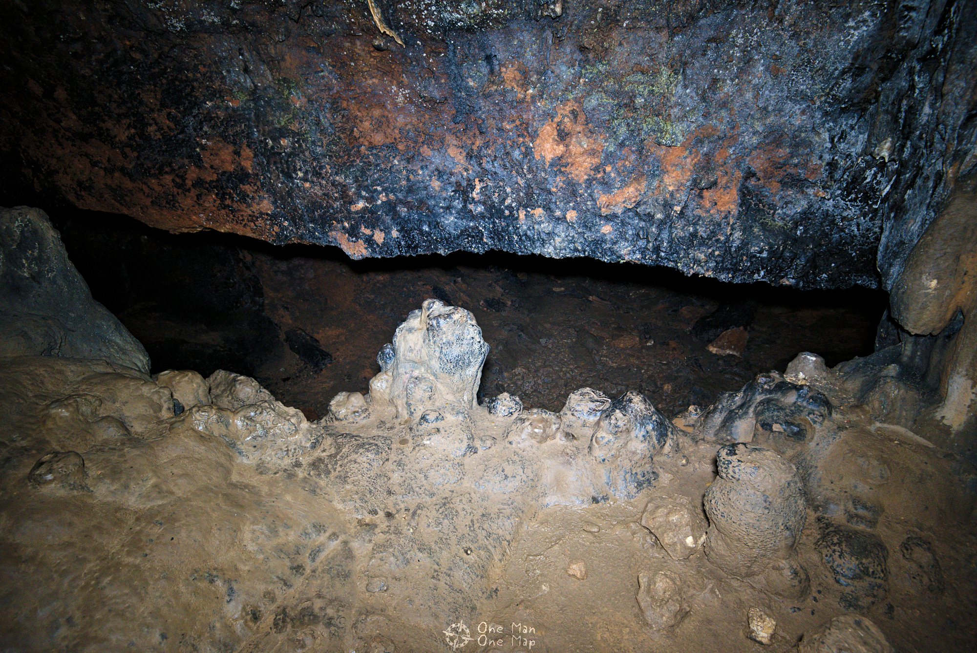
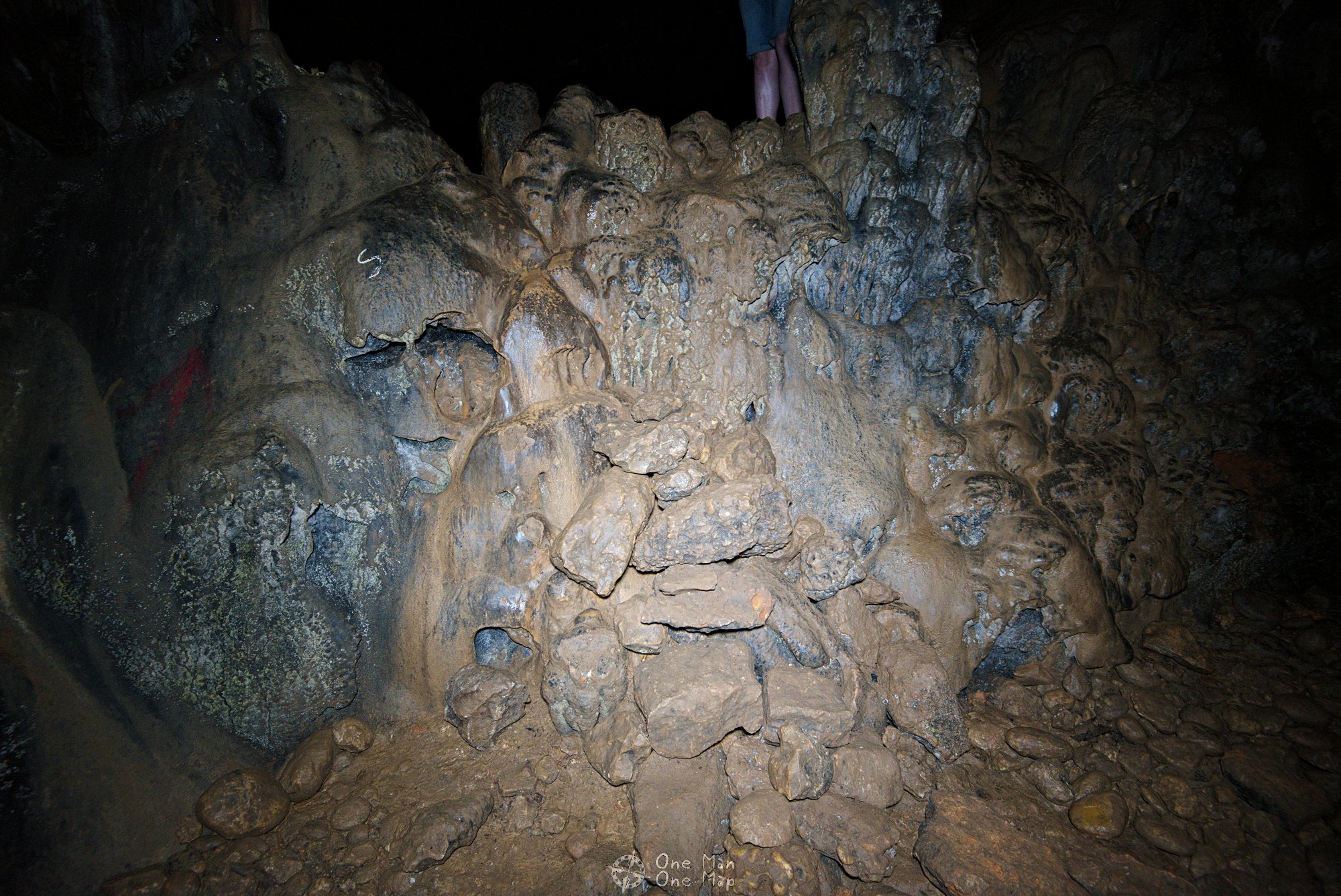
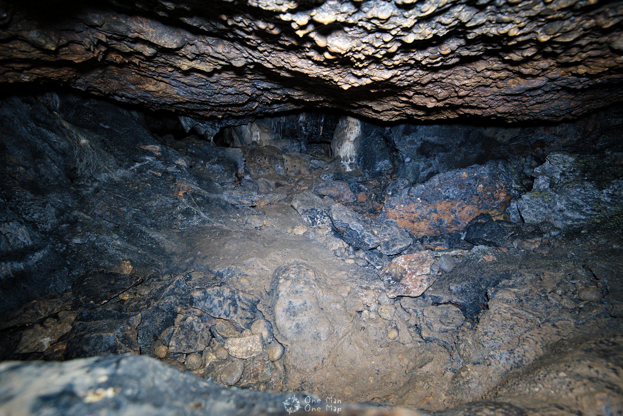
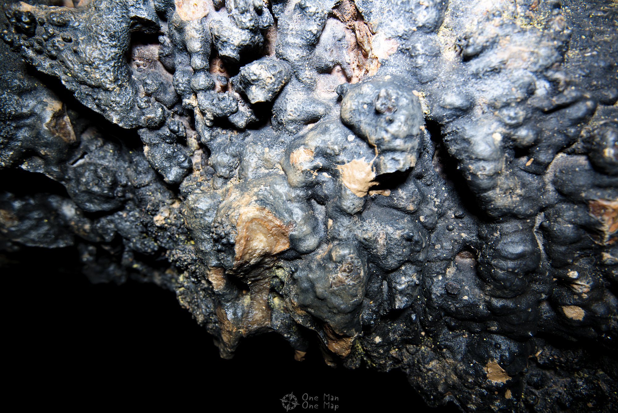
We didn’t explore the cave fully because it quickly became too dangerous without proper equipment. The room on the following picture for example was about 15 meters high and had a big hole at the bottom. One doesn’t have to be become the stupid foreigner who then ends up being mentioned on the front pages of all newspapers…

On to the Roca Corbatera
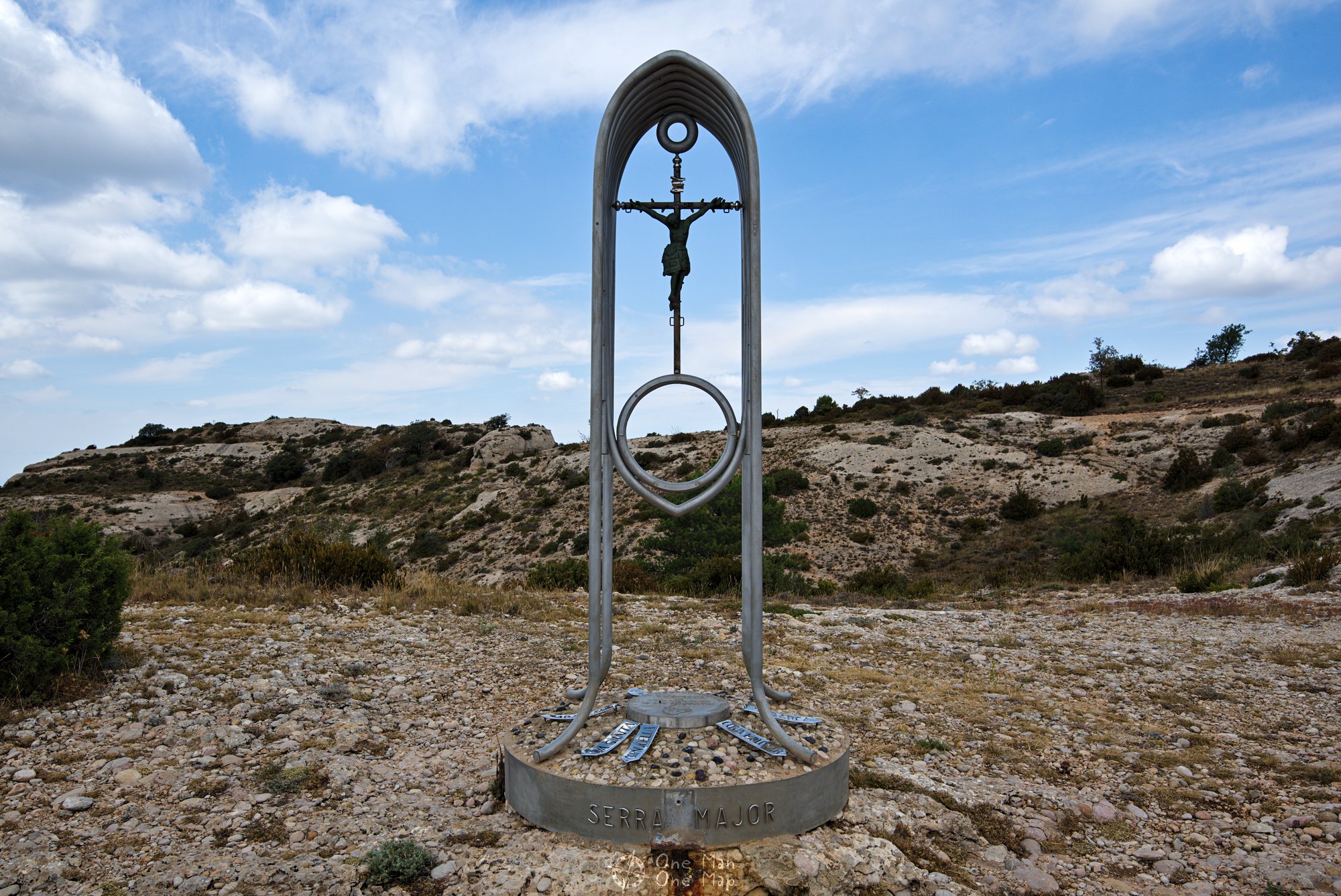
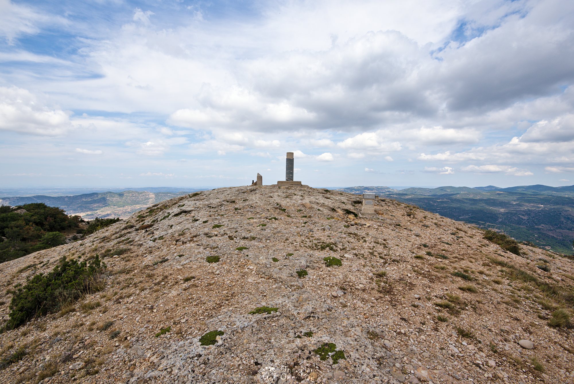
From the Cueva Santa it is just a one and a half kilometre walk to the summit of Roca Corbatera. On the way you also walk over the 1.110 metre high Serra Major peak, which is decorated with a rather strange summit cross. In comparison to its surroundings it was definitely not the nicest photo motive, nature had much more to offer…
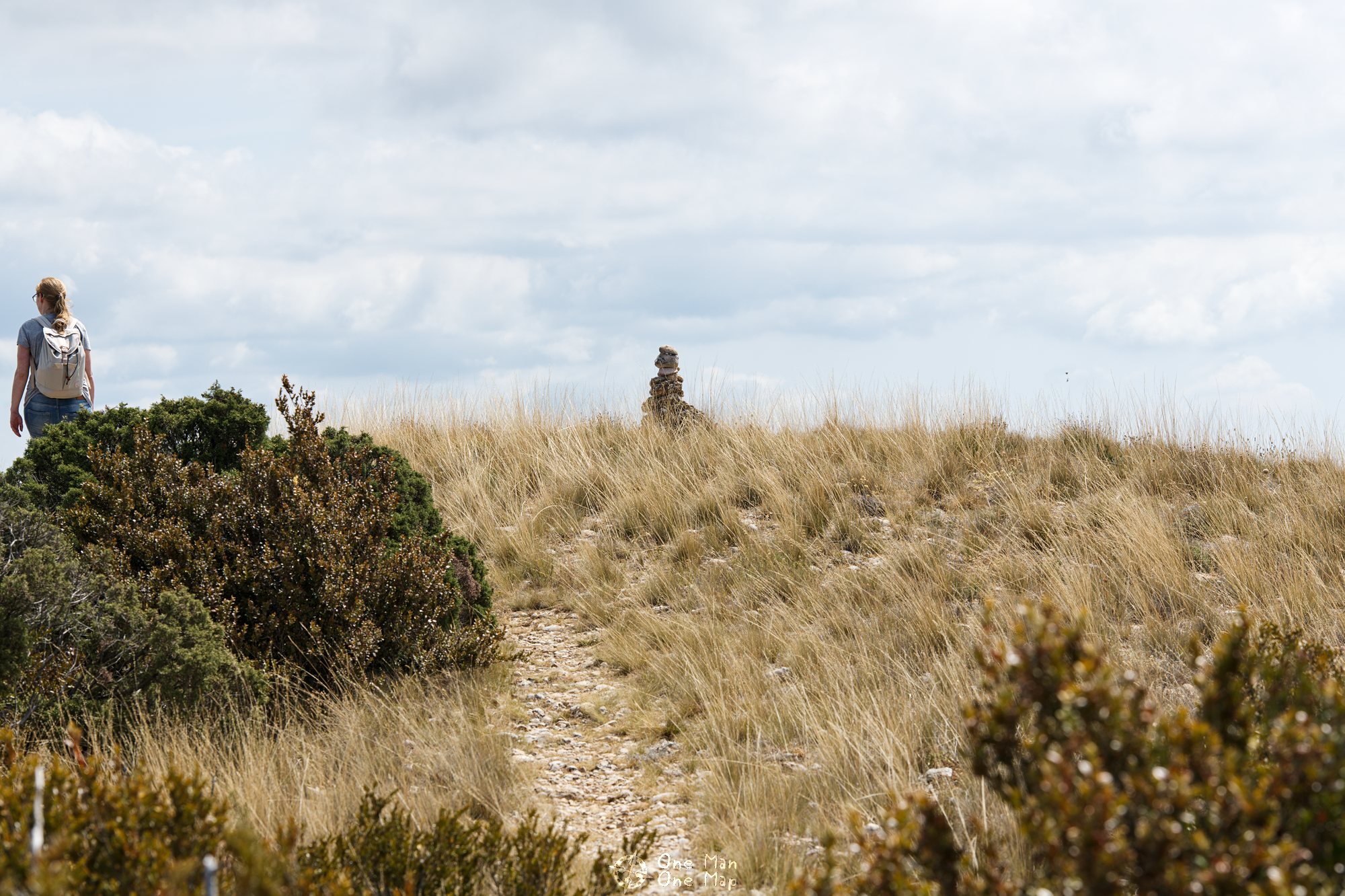

Final sprint: The Roca Corbatera comes into sight.


For the descent back to La Morera we chose the same route as for the way up. But there are many other variants, for example the much longer circular route La Morera-Roca Corbatera-Roca del Llençol-La Morera. Other start and end points, e.g. the towns of Albarca, Ulldemolins or Cornudella, are of course also possible.
Conclusion: The ascent to the Roca Corbatera via the Cueva Santa is an extremely nice tour, but also exhausting and not entirely free of hazards. The Cueva Santa is of course the absolute highlight. Rarely is there so much to see on such a short route!
More hiking tours all around the world can be found in the corresponding category.
This post was written by Simon for One Man, One Map. The original can be found here. All rights reserved.